Home
Images
Vectors
Videos
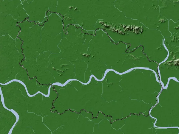
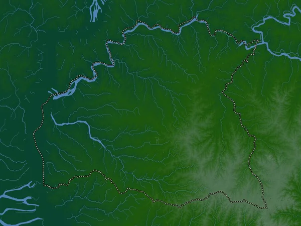
Stock image Upper River, division of Gambia. Elevation map colored in wiki style with lakes and rivers
Published:
Oct.04, 2022 10:01:22
Author:
Yarr65
Views:
1
Downloads:
0
File type:
image
/
jpg
File size:
5.98 MB
Orginal size:
3840
x
2880
px
Available sizes:
S
(500 x 375)
M
(1000 x 750)
L
(2000 x 1500)
XL
(3840 x 2880)
EL0
(3840 x 2880)
Level:
bronze
Download Image
Image topics:
Shape
Nature
Border
Contour
Earth
Planet
World
Ocean
Science
Capital
Outline
Country
Map
Geography
Africa
Continent
Land
Zoom
Region
Division
Territory
Atlas
Legend
Gambia
Banjul
Sabi
Stereographic
Perai
Gmb
Administrative Division
Upper River
Basse Santa Su
Demba Kunda
Kumbija
Daba Kunda
Sun Kunda
Brifu
Sutukoba
Banto Nding
Gunjur Kuta
Diabugu
Sudowol
Koina
Tuba Wuli
Similar stock images
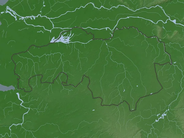
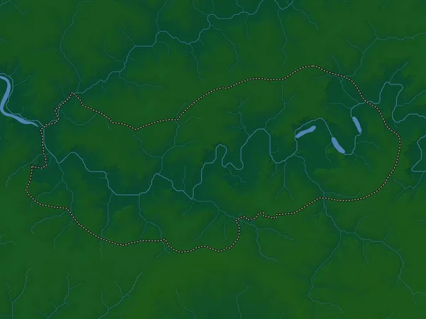
Maccarthy Island, Division Of Gambia. Elevation Map Colored In Wiki Style With Lakes And Rivers
3840 × 2880
Noord-Brabant, Province Of Netherlands. Elevation Map Colored In Wiki Style With Lakes And Rivers
3840 × 2880
Soriano, Department Of Uruguay. Colored Elevation Map With Lakes And Rivers
3840 × 2880
Upper River, Division Of Gambia. Colored Elevation Map With Lakes And Rivers
3840 × 2880
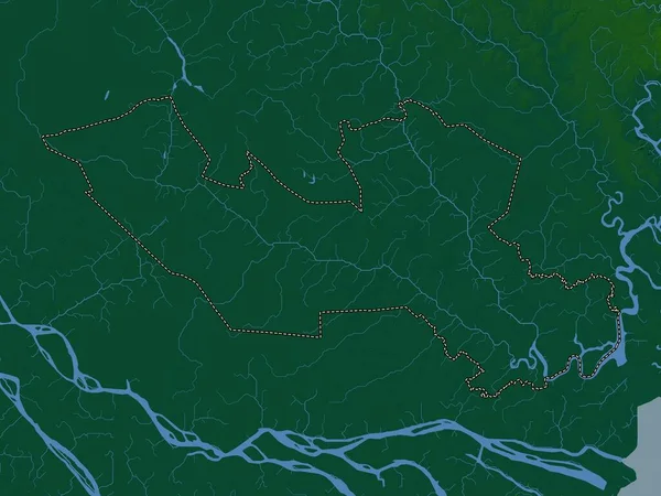
Lower River, Division Of Gambia. Elevation Map Colored In Wiki Style With Lakes And Rivers
3840 × 2880
Bac Ninh, Province Of Vietnam. Elevation Map Colored In Wiki Style With Lakes And Rivers
3840 × 2880
Long An, Province Of Vietnam. Colored Elevation Map With Lakes And Rivers
3840 × 2880
Flores, Department Of Uruguay. Elevation Map Colored In Wiki Style With Lakes And Rivers
3840 × 2880