Home
Images
Vectors
Videos
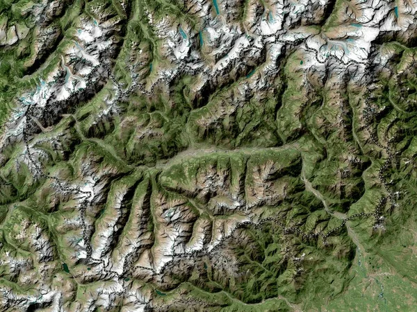
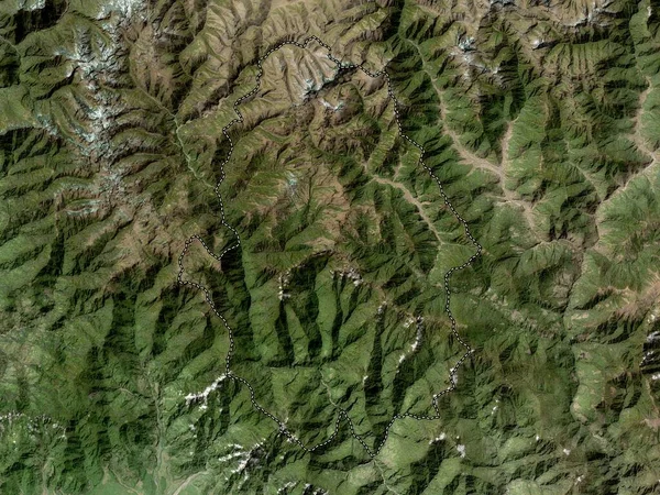
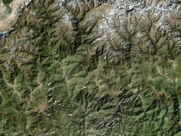
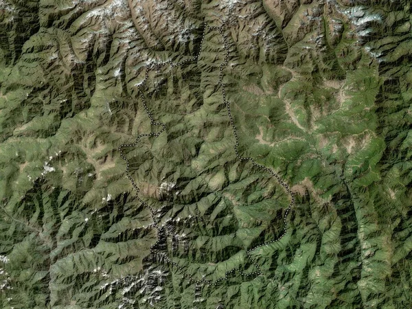
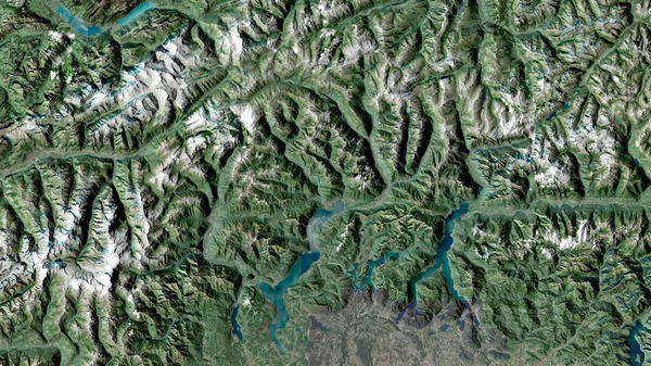
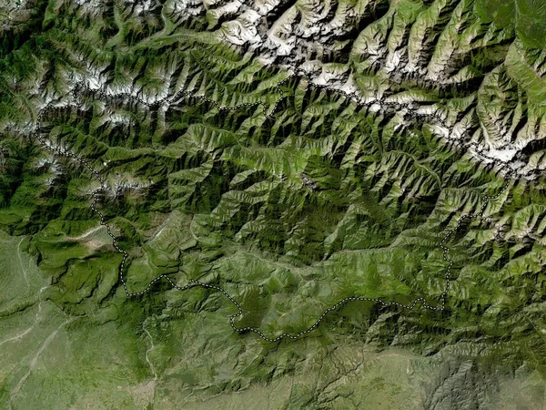
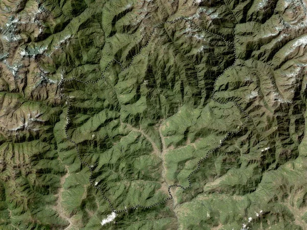
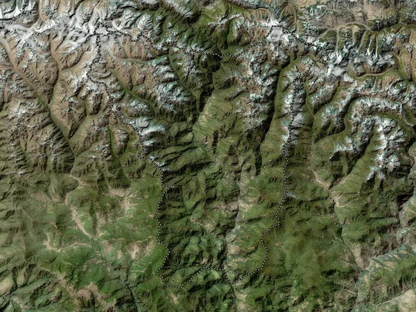
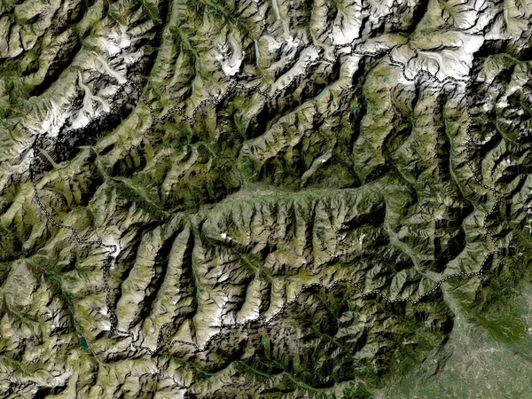
Stock image Valle d'Aosta, autonomous region of Italy. Low resolution satellite map
Published:
Oct.11, 2022 10:33:53
Author:
Yarr65
Views:
2
Downloads:
0
File type:
image
/
jpg
File size:
8.79 MB
Orginal size:
3840
x
2880
px
Available sizes:
S
(500 x 375)
M
(1000 x 750)
L
(2000 x 1500)
XL
(3840 x 2880)
EL0
(3840 x 2880)
Level:
bronze
Download Image
Image topics:
Shape
Nature
Border
Contour
Earth
Planet
World
Italy
Ocean
Science
Capital
Europe
Outline
Country
Map
Geography
Continent
Land
Zoom
Rome
Verona
Region
Territory
Atlas
Legend
Vicenza
Padova
Chioggia
Stereographic
Belluno
Aosta
Treviso
Mestre
Bassano Del Grappa
ITA
Castelfranco Veneto
Vittorio Veneto
Autonomous Region
Rovigo
Schio
Conegliano
Montebelluna
Administrative Division
Similar stock images
Valle D'Aosta, Autonomous Region Of Italy. High Resolution Satellite Map
3840 × 2880
Haa, District Of Bhutan. High Resolution Satellite Map
3840 × 2880
Wangduephodrang, District Of Bhutan. High Resolution Satellite Map
3840 × 2880
Trongsa, District Of Bhutan. High Resolution Satellite Map
3840 × 2880
Ticino, Canton Of Switzerland. Satellite Imagery. Shape Outlined Against Its Country Area. 3D Rendering
2880 × 1620
Racha-Lechkhumi-Kvemo Svaneti, Region Of Georgia. Low Resolution Satellite Map
3840 × 2880
Punakha, District Of Bhutan. High Resolution Satellite Map
3840 × 2880
Lhuentse, District Of Bhutan. High Resolution Satellite Map
3840 × 2880