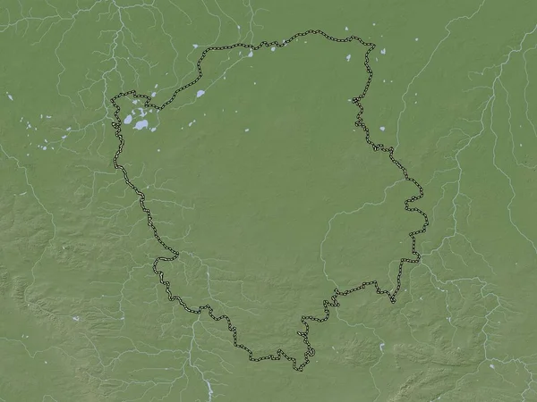
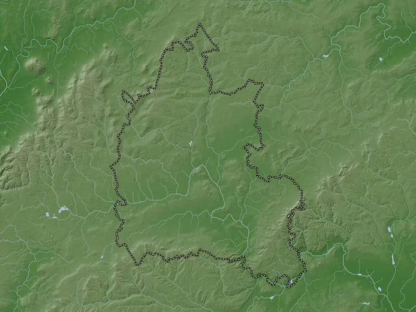
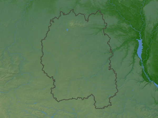
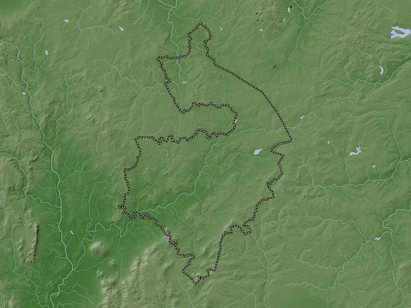
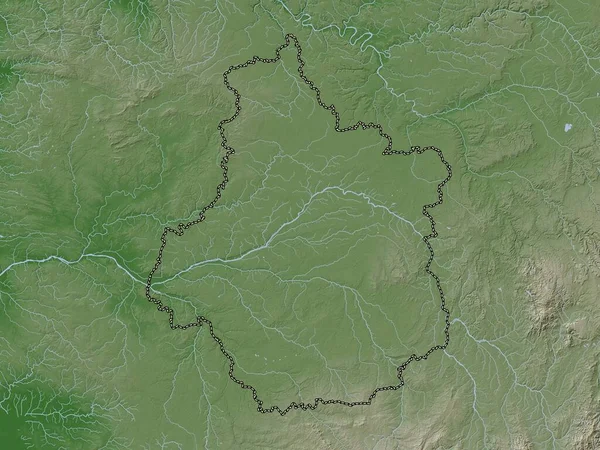
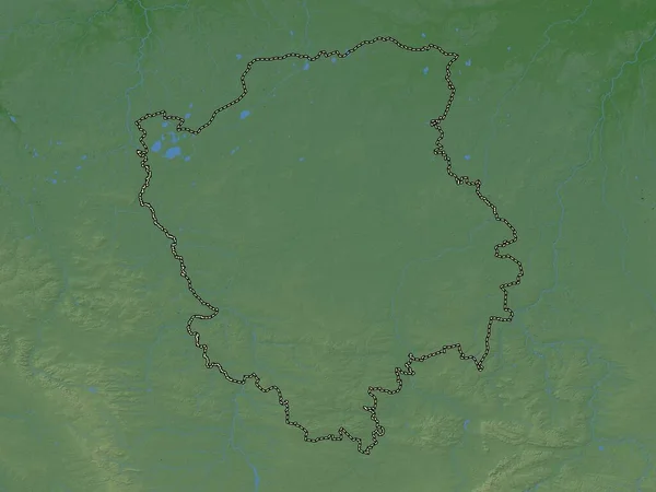
Stock image Volyn, region of Ukraine. Colored elevation map with lakes and rivers
Published: Apr.21, 2023 12:45:12
Author: Yarr65
Views: 0
Downloads: 0
File type: image / jpg
File size: 7.03 MB
Orginal size: 3840 x 2880 px
Available sizes:
Level: bronze