Home
Images
Vectors
Videos
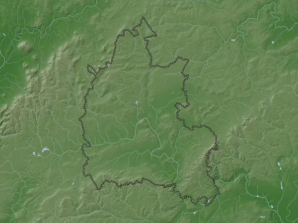
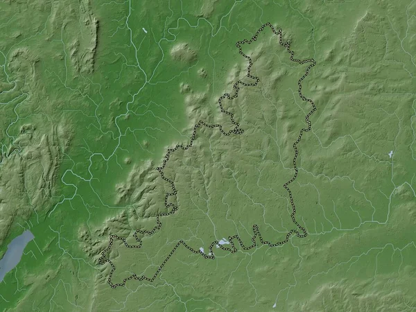
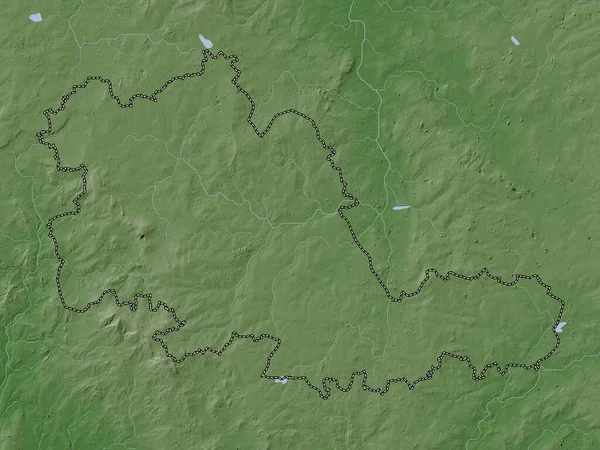
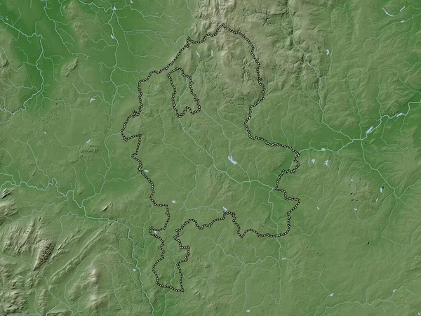
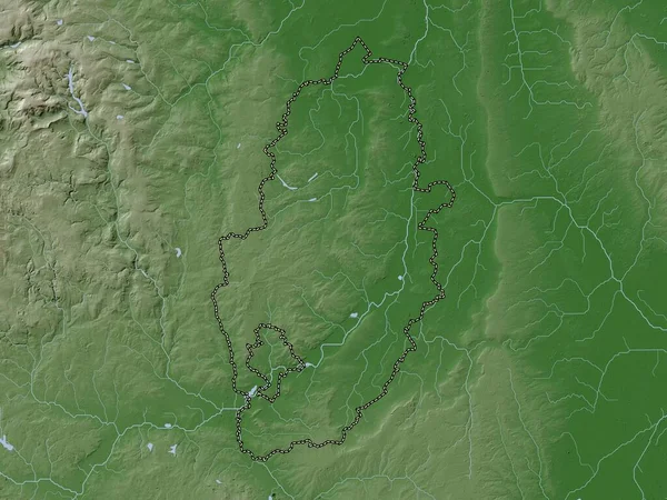
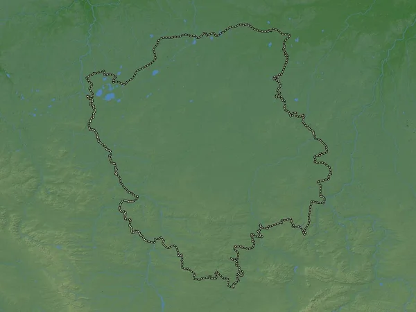
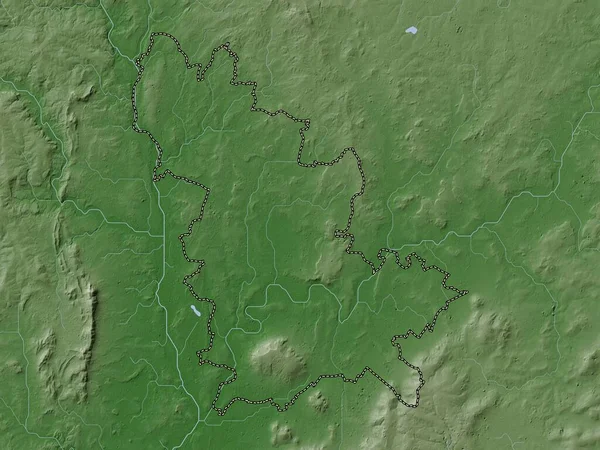
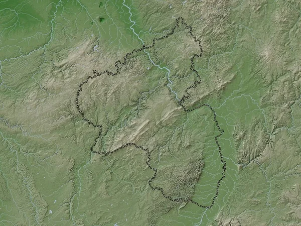
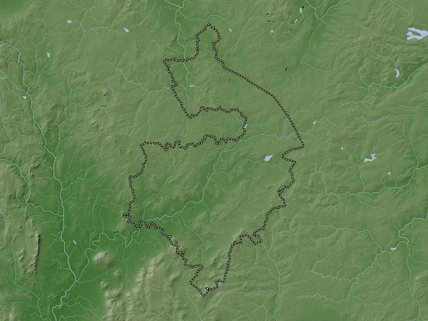
Stock image Warwickshire, administrative county of England - Great Britain. Elevation map colored in wiki style with lakes and rivers
Published:
Apr.21, 2023 13:17:51
Author:
Yarr65
Views:
0
Downloads:
0
File type:
image
/
jpg
File size:
7.28 MB
Orginal size:
3840
x
2880
px
Available sizes:
S
(500 x 375)
M
(1000 x 750)
L
(2000 x 1500)
XL
(3840 x 2880)
EL0
(3840 x 2880)
Level:
bronze
Download Image
Image topics:
Shape
Nature
Border
Contour
Earth
Planet
World
Ocean
Science
Capital
Europe
Outline
Country
Map
Geography
Continent
Land
Zoom
Rugby
London
Region
Territory
Atlas
Legend
Stratford Upon Avon
Warwickshire
Stereographic
Kenilworth
Warwick
GBR
Nuneaton
Bedworth
Royal Leamington Spa
Administrative Division
Whitnash
Polesworth
Administrative County
England Great Britain
Warwick Gates
Similar stock images
Oxfordshire, Administrative County Of England - Great Britain. Elevation Map Colored In Wiki Style With Lakes And Rivers
3840 × 2880
Cotswold, Non Metropolitan District Of England - Great Britain. Elevation Map Colored In Wiki Style With Lakes And Rivers
3840 × 2880
West Midlands Combined Authority, Region Of England - Great Britain. Elevation Map Colored In Wiki Style With Lakes And Rivers
3840 × 2880
Staffordshire, Administrative County Of England - Great Britain. Elevation Map Colored In Wiki Style With Lakes And Rivers
3840 × 2880
Nottinghamshire, Administrative County Of England - Great Britain. Elevation Map Colored In Wiki Style With Lakes And Rivers
3840 × 2880
Volyn, Region Of Ukraine. Colored Elevation Map With Lakes And Rivers
3840 × 2880
Wychavon, Non Metropolitan District Of England - Great Britain. Elevation Map Colored In Wiki Style With Lakes And Rivers
3840 × 2880
Rheinland-Pfalz, State Of Germany. Elevation Map Colored In Wiki Style With Lakes And Rivers
3840 × 2880