Home
Images
Vectors
Videos
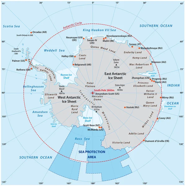
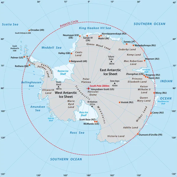
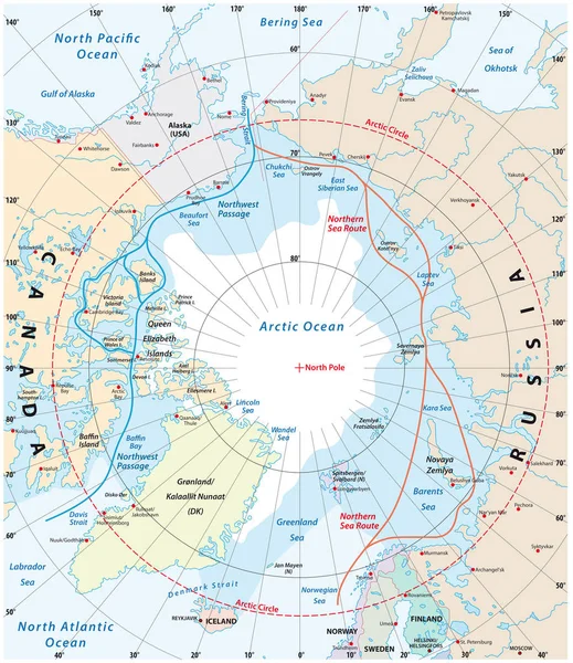
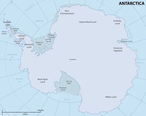
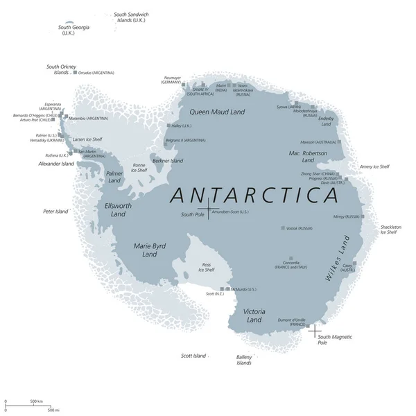
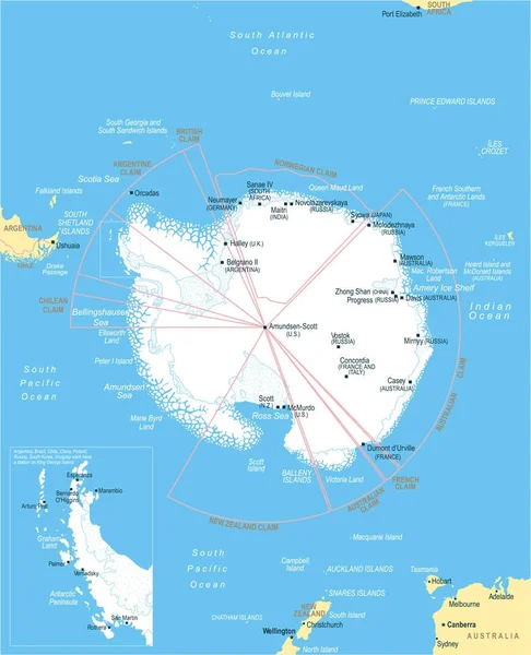
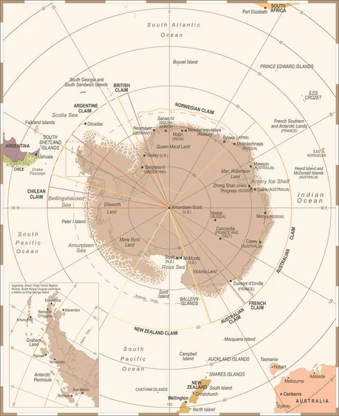
Stock vector Antarctic region Map - Vintage Vector Illustration
Published:
Oct.13, 2017 12:11:02
Author:
dikobrazik
Views:
36
Downloads:
1
File type:
vector
/
eps
File size:
4.54 MB
Orginal size:
5500
x
6757
px
Available sizes:
S
(407 x 500)
M
(814 x 1000)
L
(1628 x 2000)
XL
(5500 x 6757)
VECT
(5500 x 6757)
EL0
(5500 x 6757)
Level:
silver
Download Vector
Vector topics:
Red
Yellow
Blue
Vector
Illustration
Golden
Brown
Old
Retro
Vintage
City
Detailed
China
Russia
Country
Map
Geography
Land
Topography
Australia
Political
Brazil
British
Claim
Chile
Argentina
Regions
South Africa
New Zealand
Capital Cities
Navigational Equipment
Geographical Locations
Antarctic Region
Similar stock vectors
Map Of The Antarctic With The New Sea Protection Area In The Ross Sea
3592 × 3580
Arctic Region, Gray Political Map. Polar Region Around North Pole Of Earth. The Arctic Ocean Region, With North Magnetic Pole And North Geomagnetic Pole, Longitudes And Latitudes. Illustration. Vector
4000 × 4000
Arctic Region Map
6606 × 8192
Antarctic Map
3544 × 3544
Map Of The Arctic Region, The Northwest Passage And The Northern Sea Route
3100 × 3584
Map Of Antarctica
6010 × 4800
Antarctica Political Map Gray Colored
8033 × 8033
Antarctic Region Map - Vector Illustration
5140 × 6335