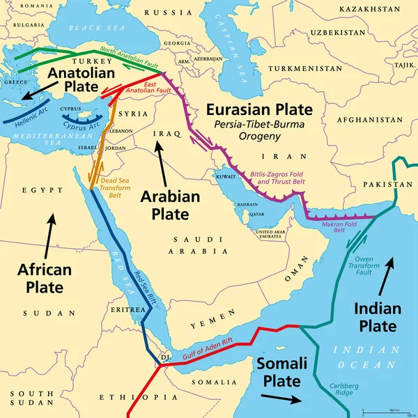
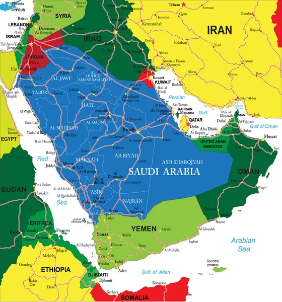
Stock vector Arabian Plate, gray tectonic map. Minor tectonic plate, consisting mostly of Arabian Peninsula. Together with the African and Indian plates it is moving northward, colliding with the Eurasian plate.

Published: Aug.31, 2023 15:01:32
Author: Furian
Views: 10
Downloads: 0
File type: vector / eps
File size: 3.65 MB
Orginal size: 6000 x 6000 px
Available sizes:
Level: silver