photo free
Home Images Vectors Videos

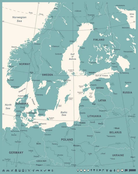
Stock vector Baltic Sea Area Map - Vector Illustration
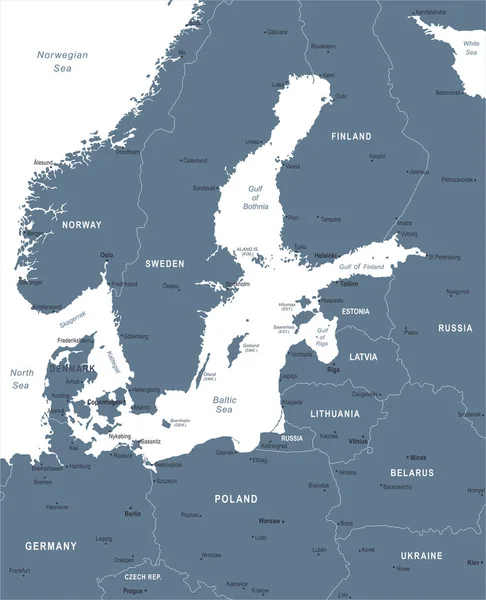
Stock vector Baltic Sea Area Map - Vector Illustration
Published: Oct.13, 2017 12:11:21
Author: dikobrazik
Views: 208
Downloads: 3
File type: vector / eps
File size: 2.3 MB
Orginal size: 5500 x 6786 px
Available sizes:
S
(405 x 500)
M
(810 x 1000)
L
(1621 x 2000)
XL
(5500 x 6786)
VECT
(5500 x 6786)
EL0
(5500 x 6786)
Level: silver
Download Vector
Vector topics:

Similar stock vectors

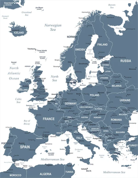
stock vector Europe Map - Vector Illustration

Europe Map - Vector Illustration

5500 × 7067
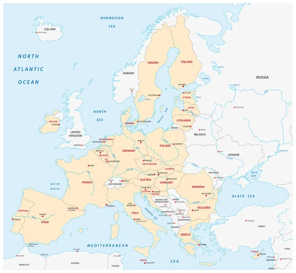
stock vector states of the european union map without united kingdom

States Of The European Union Map Without United Kingdom

3354 × 3100
stock vector Baltic Sea Area Map - Vector Illustration

Baltic Sea Area Map - Vector Illustration

5500 × 6786
stock vector Baltic Sea Area Map - Vintage Vector Illustration

Baltic Sea Area Map - Vintage Vector Illustration

5500 × 6921
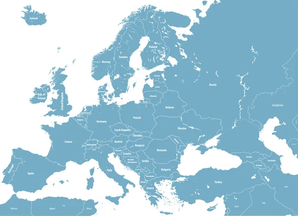
stock vector Europe Countries Political Map

Europe Countries Political Map

6000 × 6525
stock vector Europe high detailed political map. All elements detachable and labeled. Vector

Europe High Detailed Political Map. All Elements Detachable And Labeled. Vector

7293 × 5303
stock image 3D Europe map

3D Europe Map

4000 × 4000
stock vector Europe, gray political map. Continent and part of Eurasia, located in the Northern Hemisphere, with about 50 sovereign states. Map with borders and English country names. Gray illustration over white.

Europe, Gray Political Map. Continent And Part Of Eurasia, Located In The Northern Hemisphere, With About 50 Sovereign States. Map With Borders And English Country Names. Gray Illustration Over White.

6000 × 6000