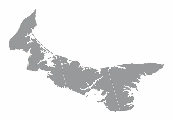
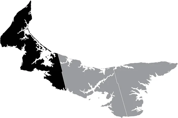
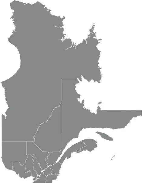
Stock vector Gray flat blank vector administrative map of counties of Canadian province of PRINCE EDWARD ISLAND, CANADA with white border lines of its counties

Published: Jan.19, 2022 08:54:01
Author: momcilo.jovanov
Views: 1
Downloads: 0
File type: vector / eps
File size: 0.57 MB
Orginal size: 6007 x 3989 px
Available sizes:
Level: bronze