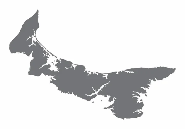
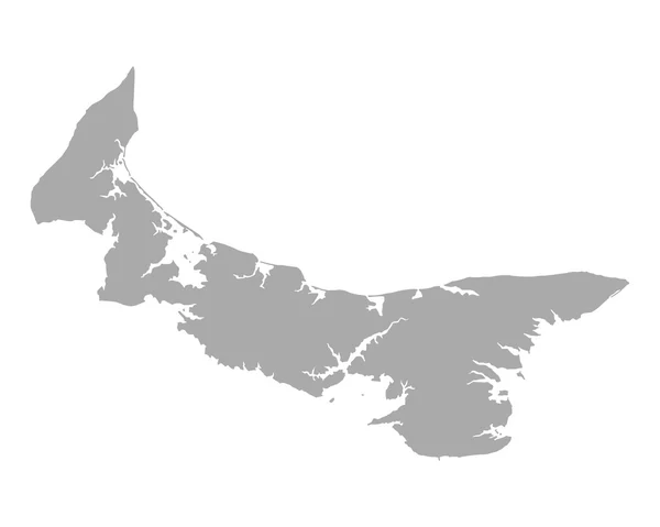
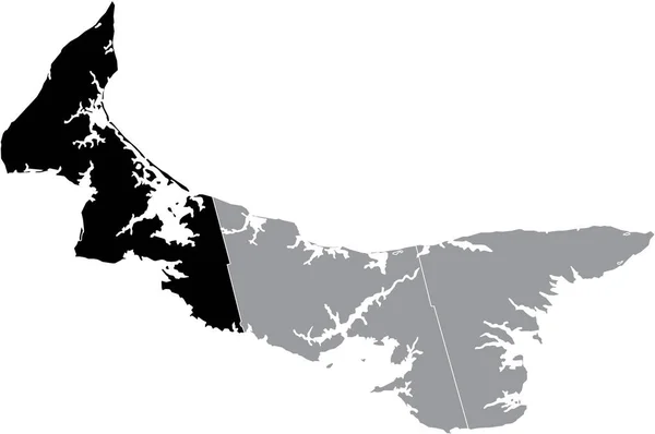
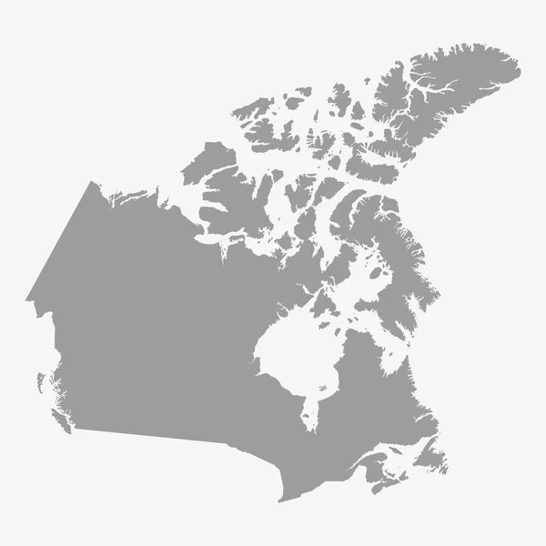
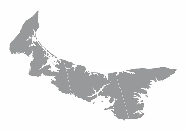
Stock vector Prince Edward Island administrative map isolated on white background, Canada
Published: Jul.30, 2021 13:54:39
Author: luisrftc
Views: 0
Downloads: 0
File type: vector / eps
File size: 8.11 MB
Orginal size: 5000 x 3500 px
Available sizes:
Level: bronze