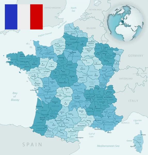
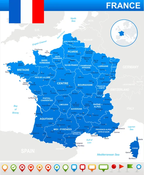
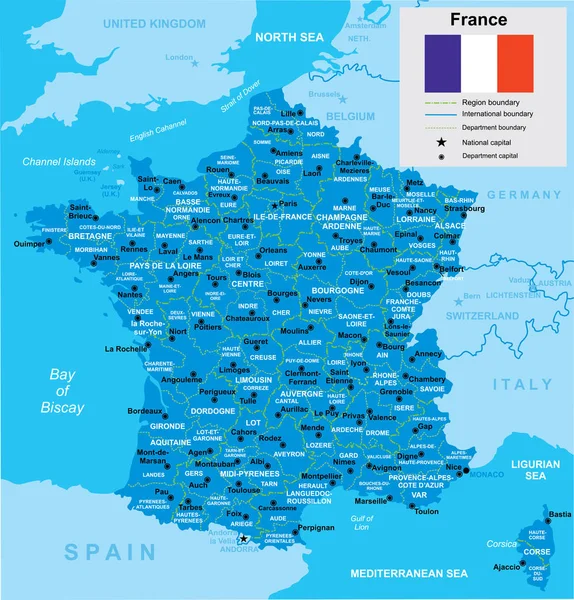
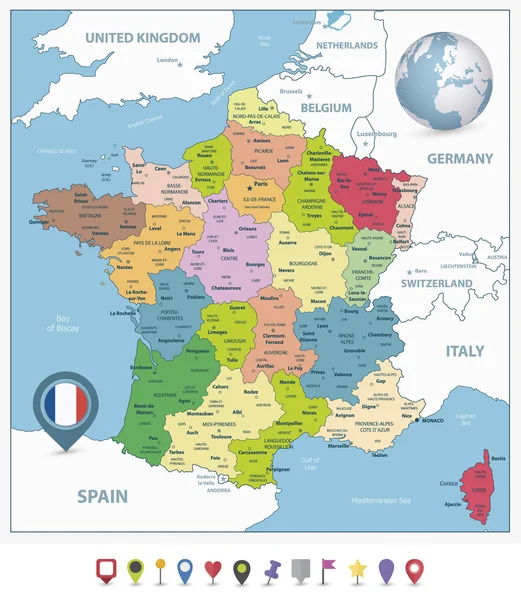
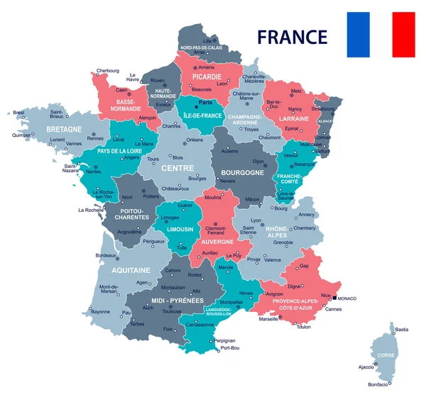
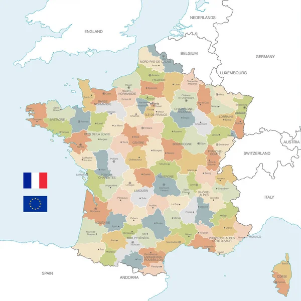
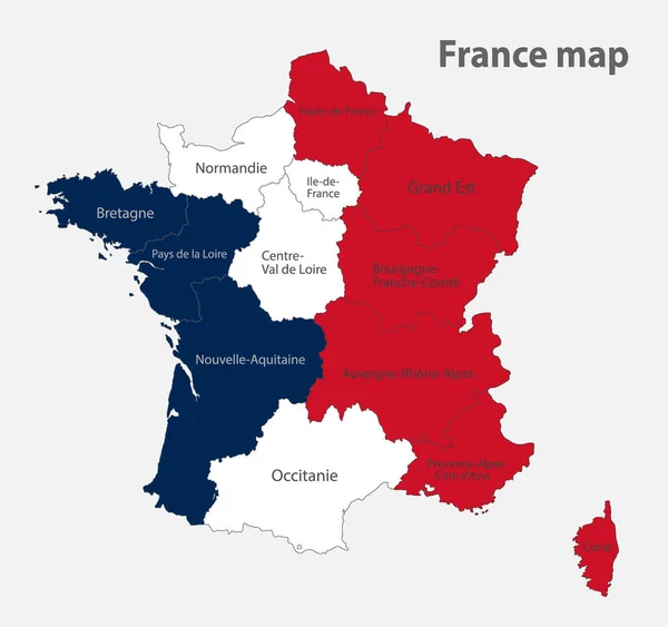
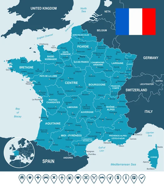
Stock vector France map, flag and navigation labels - illustration.
Published: Jul.22, 2015 10:40:27
Author: dikobrazik
Views: 352
Downloads: 5
File type: vector / eps
File size: 2.73 MB
Orginal size: 5400 x 6184 px
Available sizes:
Level: silver