Home
Images
Vectors
Videos
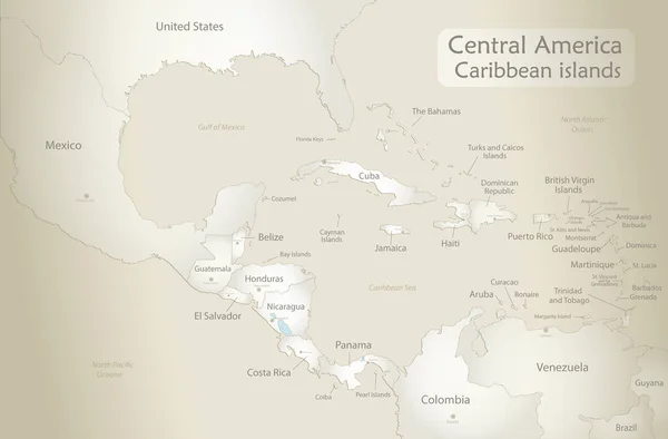
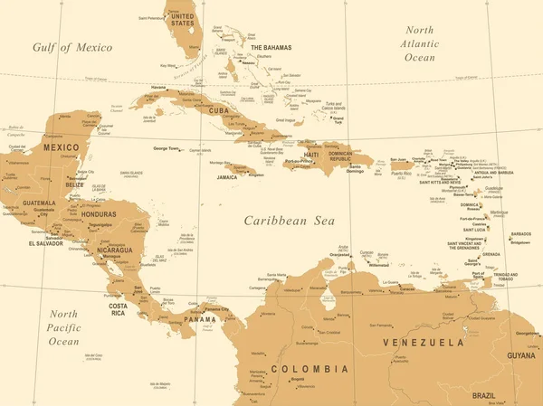
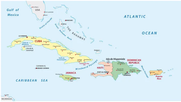
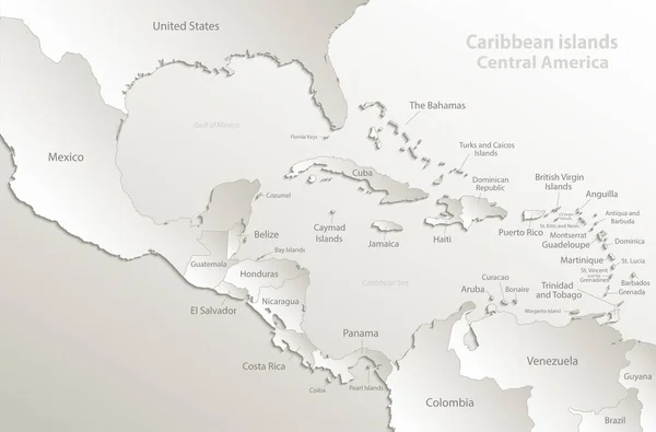
Stock vector Caribbean islands Central America map, separate states, card paper 3D natural vector
Published:
Mar.29, 2018 09:28:29
Author:
Mondi.h
Views:
151
Downloads:
4
File type:
vector
/
eps
File size:
7.72 MB
Orginal size:
5011
x
3300
px
Available sizes:
S
(500 x 329)
M
(1000 x 659)
L
(2000 x 1317)
XL
(5011 x 3300)
VECT
(5011 x 3300)
EL0
(5011 x 3300)
Level:
bronze
Download Vector
Vector topics:
White
Vector
Background
Object
Illustration
Design
Paper
Sign
Texture
Plastic
Card
Frame
3d
Backdrop
Text
Global
Shadow
Wallpaper
Information
Earth
World
American
Template
Individual
South
Outline
Country
Map
Cartography
Continent
Separation
Continental
Papery
State
Separate
Poster
America
Island
Mexico
Florida
Cuba
Bahamas
Infographic
Central America
State Names
Caribbean Islands
Caribbean Map
American Map
Separate States
Caribbean Islands Map
Similar stock vectors
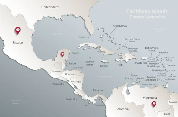
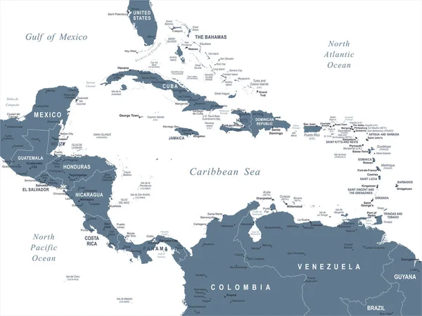
Caribbean Islands Central America Map, State Names, Separate States, Card Blue White 3D Vector
5011 × 3300
Caribbean Islands And Central America Map, States And Islands And Capitals With Names, Old Paper Background Vector
5783 × 3800
Caribbean Islands And Map Of Central America, States And Islands And Capitals With Names, White Blue 3D Paper Vector
5784 × 3800
Central America Map - Vector Illustration
7335 × 5500
Caribbean Islands Central America Map State Names Black Blackboard Separate States Individual Vector
5011 × 3300
Central America Map - Vintage Vector Illustration
7334 × 5500
Political And Administrative Map Of The Lesser Antilles
5490 × 3100
Central America And Caribbean Islands Map Classic Color, Individual States And City Whit Names Vector
5779 × 3800