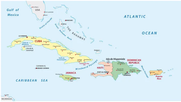
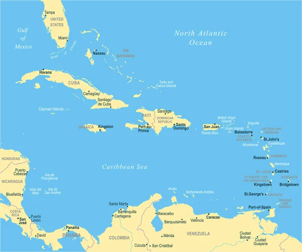
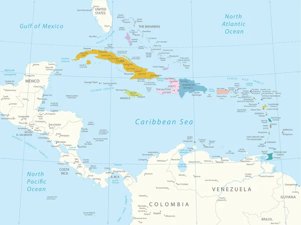
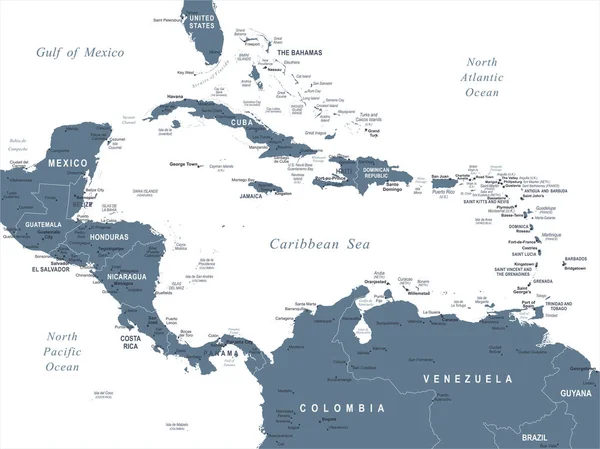
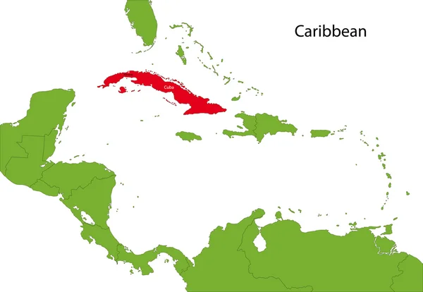
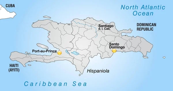
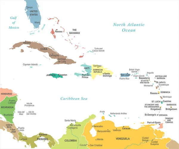
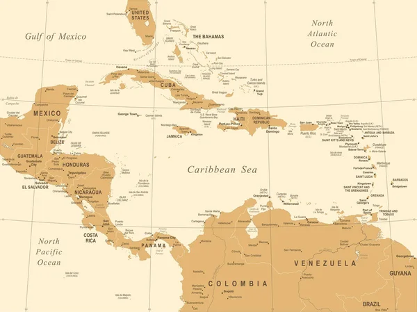
Stock vector Central America and Caribbean islands map classic color, individual states and city whit names vector

Published: Mar.07, 2022 15:58:32
Author: Mondi.h
Views: 8
Downloads: 0
File type: vector / eps
File size: 1.15 MB
Orginal size: 5779 x 3800 px
Available sizes:
Level: bronze