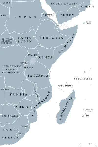
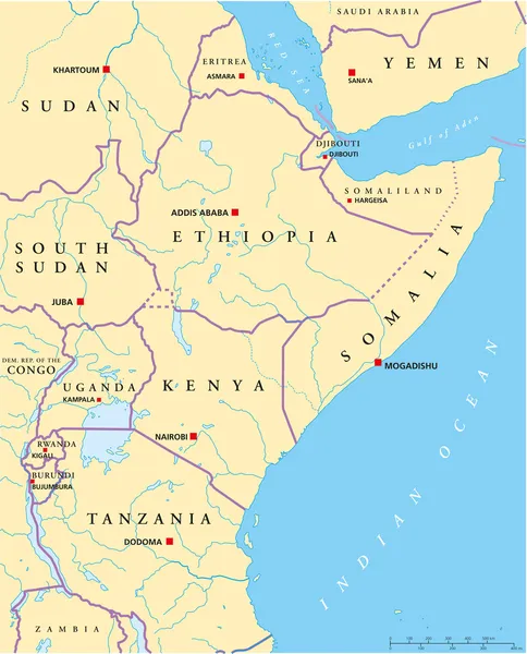
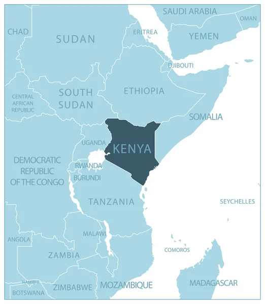
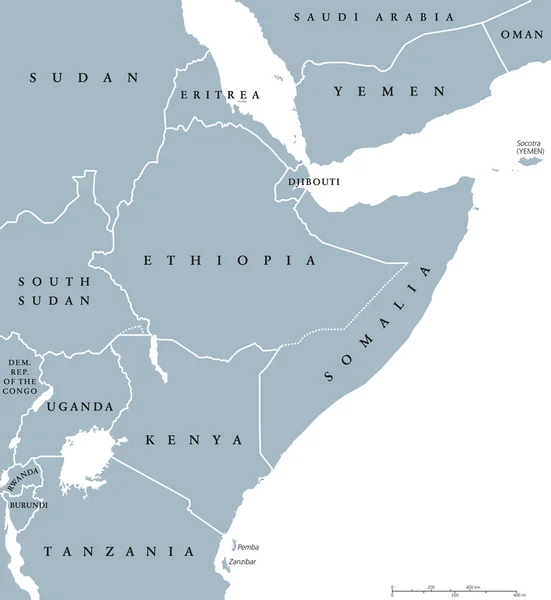
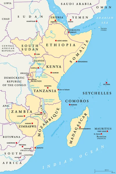
Stock vector East Africa region, political map
Published: Feb.14, 2018 14:43:51
Author: Furian
Views: 473
Downloads: 3
File type: vector / eps
File size: 4.15 MB
Orginal size: 6490 x 9733 px
Available sizes:
Level: silver