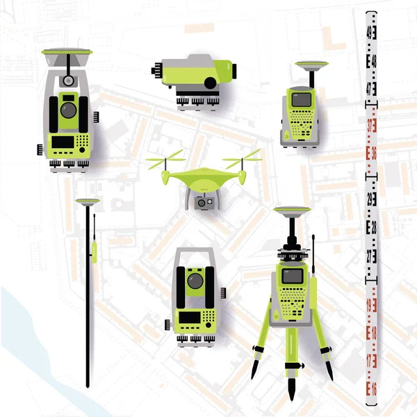
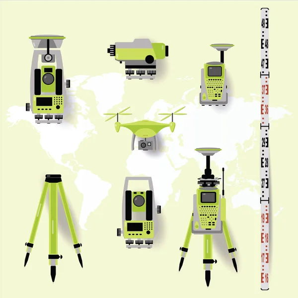
Stock vector Geodetic measuring equipment, engineering technology for land survey on world map background. Flat design
Published: Apr.09, 2019 07:42:24
Author: NatalyKa7
Views: 42
Downloads: 0
File type: vector / eps
File size: 1.08 MB
Orginal size: 5000 x 5000 px
Available sizes:
Level: beginner