Home
Images
Vectors
Videos
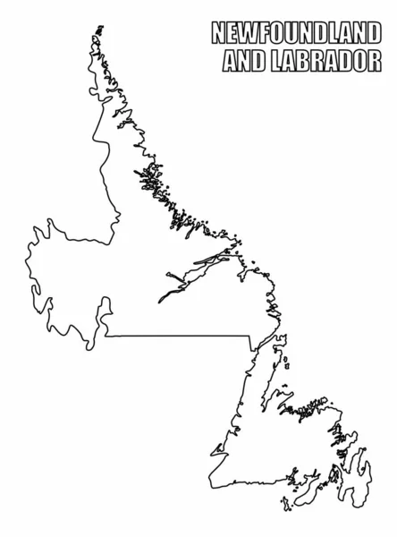
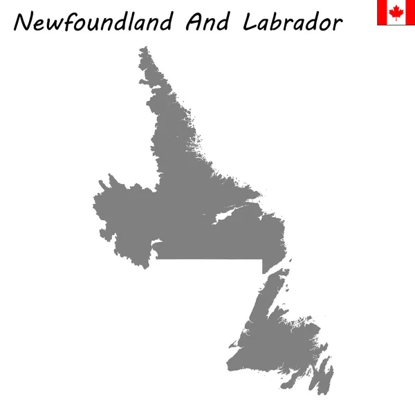
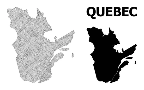
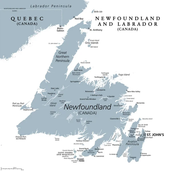
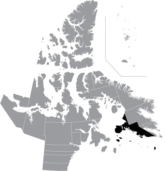
Stock vector High Quality map province of Canada
Published:
Apr.23, 2019 15:02:57
Author:
grebeshkovmaxim@gmail.com
Views:
1
Downloads:
0
File type:
vector
/
eps
File size:
3.03 MB
Orginal size:
4000
x
4000
px
Available sizes:
S
(500 x 500)
M
(1000 x 1000)
L
(2000 x 2000)
XL
(4000 x 4000)
VECT
(4000 x 4000)
EL0
(4000 x 4000)
Level:
silver
Download Vector
Vector topics:
Vector
Graphic
Illustration
Travel
Texture
Border
Center
City
Tower
Reading
Tourism
Detailed
Town
Capital
Famous
Royal
Outline
District
Map
Cartography
Geography
Plan
Area
Overview
Labrador
State
Guide
America
Review
Government
Political
Administrative
Canada
Union
United
Toronto
Region
Division
Sub
Province
County
Greater
Mapping
Newfoundland
Boroughs
Similar stock vectors
Newfoundland And Labrador Outline Map
3704 × 5004
High Quality Map Of Newfoundland And Labrador
4167 × 4167
Newfoundland And Labrador Blank Outline Map Set
4167 × 5833
High Quality Map Of Newfoundland And Labrador Is A Province Of Canada
4000 × 4000
Outline Map Of The Canadian Province Newfoundland And Labrador With Flag
6432 × 5488
Polygonal Wire Frame Mesh High Resolution Vector Map Of Quebec Province Abstractions
5027 × 3183
Island Of Newfoundland, Gray Political Map. Part Of Canadian Province Of Newfoundland And Labrador With Capital St. Johns. Island Off The Coast Of Mainland North America Southwest Of Labrador Sea.
6000 × 6000
Black Flat Blank Highlighted Location Map Of The SOUTH BAFFIN District Inside Gray Administrative Map Of The Territorial Electoral Districts Of Canadian Territory Of Nunavut, Canada
4843 × 5003