Home
Images
Vectors
Videos
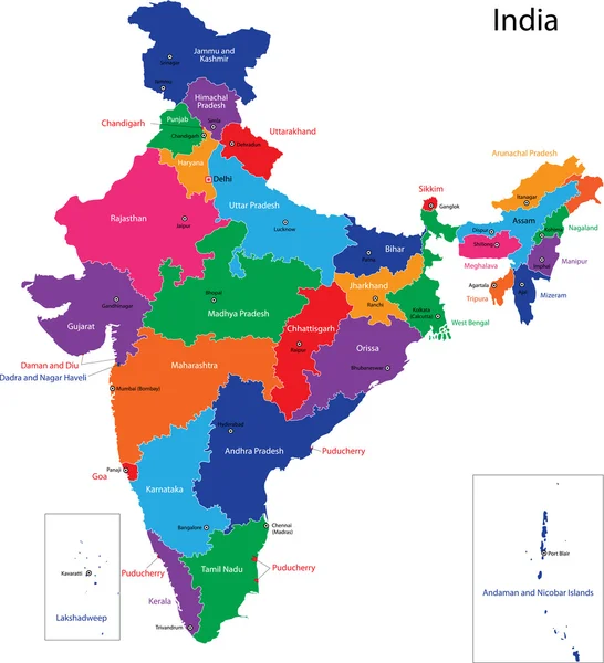
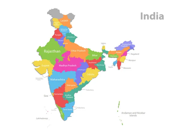
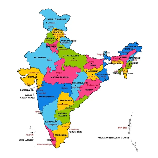
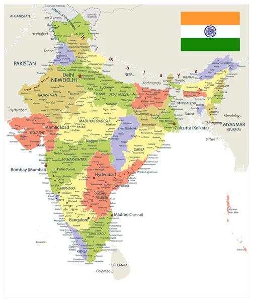
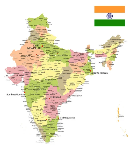
Stock vector India high detailed vector map showing states and districts boundaries with states' names and capitals. Flag of India
Published:
Oct.05, 2020 14:14:44
Author:
Jktu_21
Views:
29
Downloads:
0
File type:
vector
/
eps
File size:
9.71 MB
Orginal size:
7263
x
8334
px
Available sizes:
S
(436 x 500)
M
(871 x 1000)
L
(1743 x 2000)
XL
(7263 x 8334)
VECT
(7263 x 8334)
EL0
(7263 x 8334)
Level:
silver
Download Vector
Vector topics:
Vector
Illustration
Travel
Border
Flag
Contour
Tourism
Country
Map
Cartography
Geography
Asia
State
India
Delhi
Manipur
Maharashtra
Indian
Goa
Territory
Nation
Pradesh
Bihar
Assam
Rajasthan
Uttar
Karnataka
Andhra
Kerala
Sikkim
Odisha
Punjab
Himachal
Uttarakhand
Puducherry
NAGALAND
Tamil Nadu
New Delhi
Gujarat
West Bengal
Haryana
Mizoram
Tripura
Madhya Pradesh
Jammu And Kashmir
Chhattisgarh
Arunachal
Jharkhand
Meghalaya
Daman And Diu
Similar stock vectors
India Map
4733 × 5202
India Map, Administrative Division, Separate Individual Regions With Names, New Map Of Division Year 2020, Color Map Isolated On White Background Vector
5362 × 4000
Detailed Map Of India, Asia With All States And Country Boundary
5000 × 5000
India Administrative Map. Vector Illustration.
4000 × 4771
India Political Map. Isolated On White. Vector Illustration.
3999 × 4770
India Country Maps Area
7951 × 5622
High Quality Colorful Labeled Map Of India With Borders Of The States
4000 × 4000
India Map
4570 × 5202