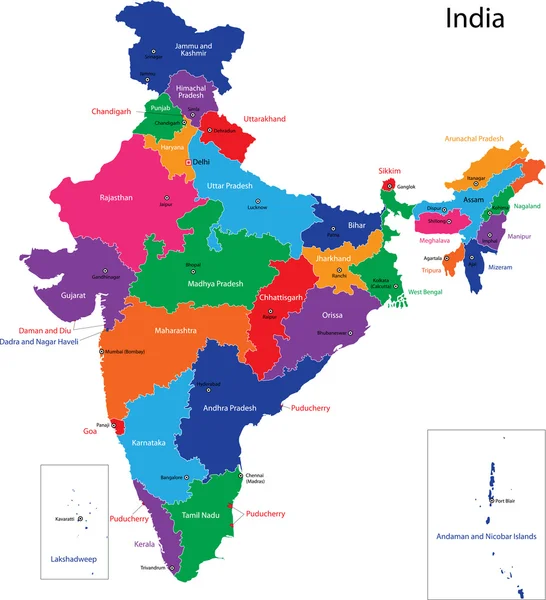
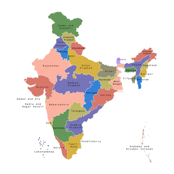
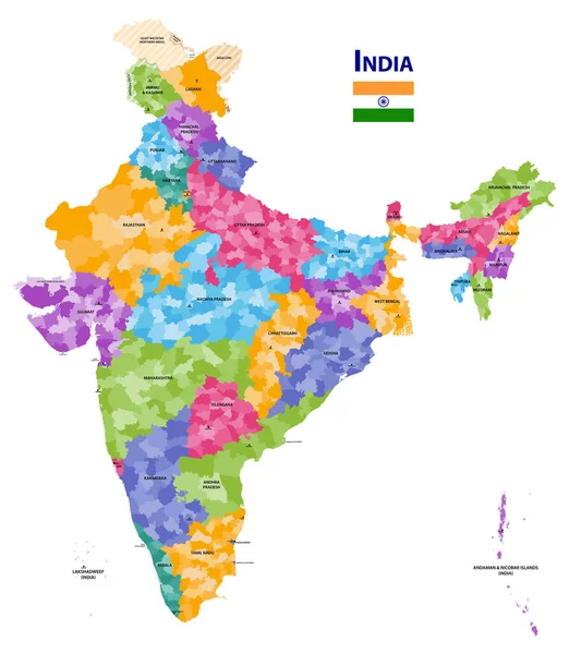
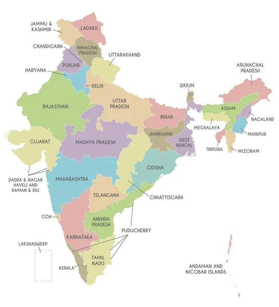
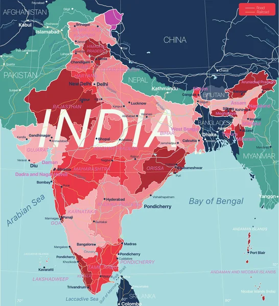
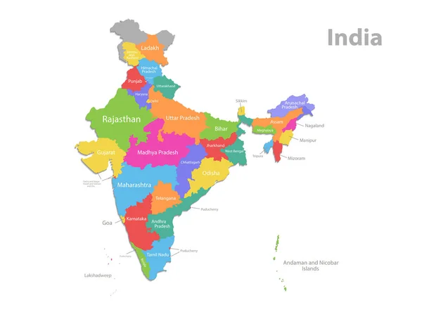
Stock vector India map, administrative division, separate individual regions with names, new map of division year 2020, color map isolated on white background vector
Published: Nov.08, 2021 08:54:35
Author: Mondi.h
Views: 84
Downloads: 1
File type: vector / eps
File size: 1.18 MB
Orginal size: 5362 x 4000 px
Available sizes:
Level: bronze