Home
Images
Vectors
Videos
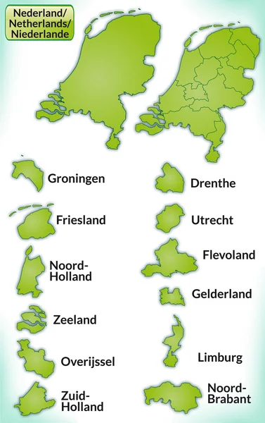
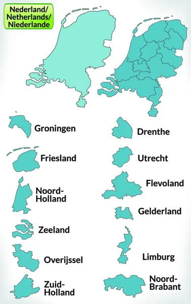
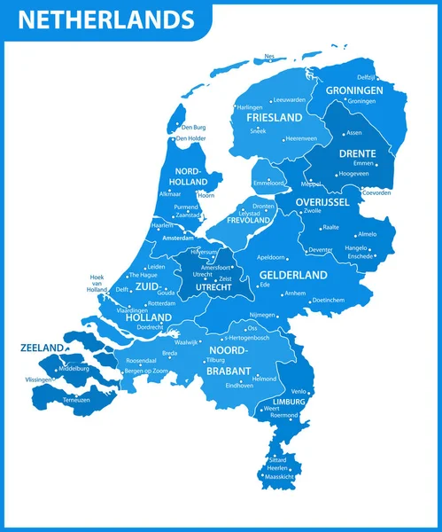
Stock vector Map of Netherlands with borders in blue
Published:
Jan.21, 2014 16:41:41
Author:
artalis
Views:
202
Downloads:
1
File type:
vector
/
ai
File size:
0.41 MB
Orginal size:
3174
x
5041
px
Available sizes:
S
(315 x 500)
M
(630 x 1000)
L
(1259 x 2000)
XL
(3174 x 5041)
VECT
(3174 x 5041)
EL0
(3174 x 5041)
Level:
bronze
Download Vector
Vector topics:
Blue
Vector
Illustration
Design
Card
With
Information
Web
Netherlands
Europe
In
Country
Site
Map
Cartography
Geography
Plan
National
Overview
General
Chart
Borders
Boundary
Of
The
Amsterdam
Rotterdam
Nederland
Haarlem
Almere
Hague
Maastricht
Dordrecht
Leiden
Eindhoven
Utrecht
Groningen
Breda
Enschede
Apeldorn
Tilburg
Nijmegen
Arnheim
Similar stock vectors
Map Of Netherlands
3174 × 5041
Map Of Netherlands
3174 × 5041
Netherlands In Europe As A Boundary Map With Borders In Blue. The Appealing Design,the Card Fits In Perfectly With Your Intentions.
3504 × 5560
Labeled Colorful Provinces Map Of European Country Of Netherlands
3600 × 4800
Netherlands Political Map Vector Illustration
2912 × 2380
The Detailed Map Of Netherlands With Regions Or States And Cities, Capital. Administrative Division.
5000 × 6000
The Detailed Map Of Netherlands With Regions. Administrative Division.
5000 × 6000
Netherlands High Detailed Local Municipalities Map Colored By Provinces. All Elements Are Separated In Detachable And Labeled Layers. Vector
6537 × 7292