Home
Images
Vectors
Videos
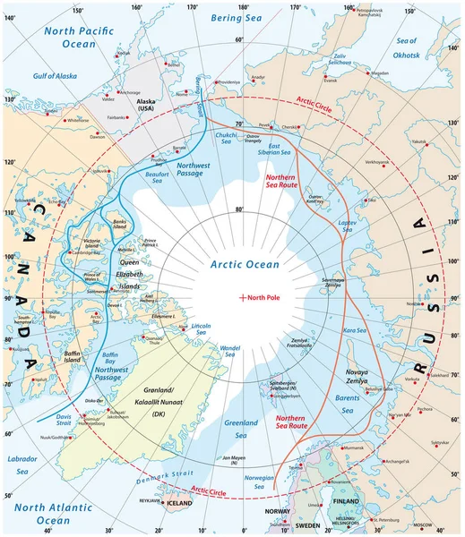
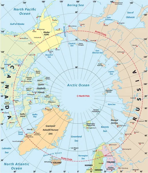
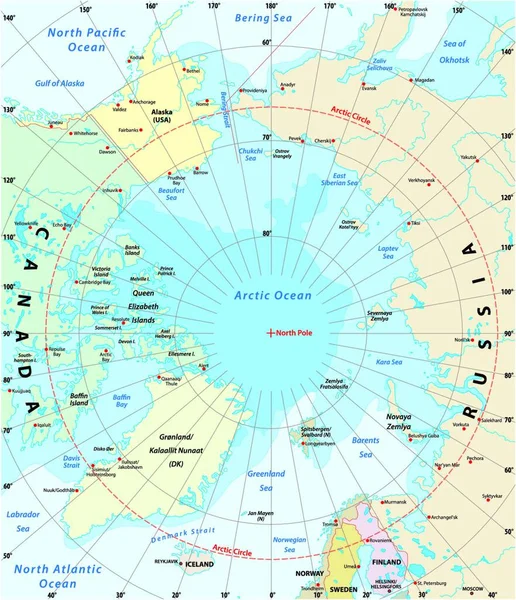
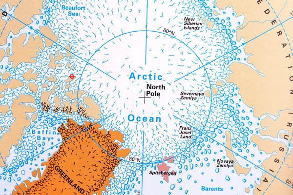
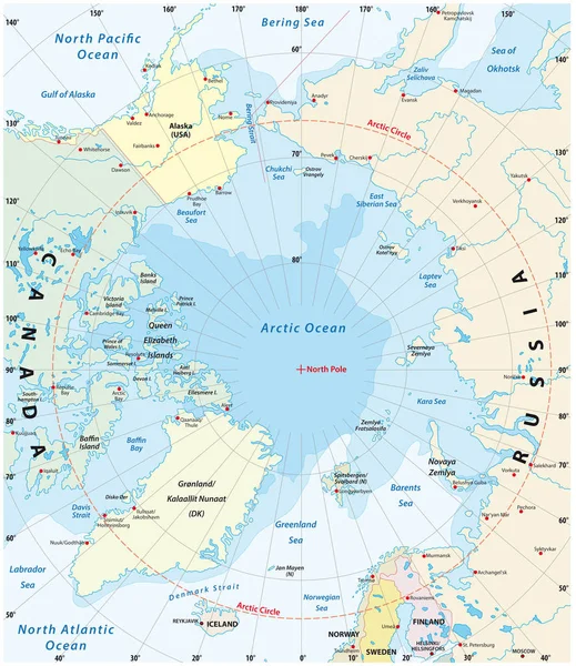
Stock vector Map of the Arctic with the least and largest extent of the ice cap 2018
Published:
Aug.15, 2019 12:38:43
Author:
Lesniewski
Views:
251
Downloads:
5
File type:
vector
/
eps
File size:
2.37 MB
Orginal size:
3100
x
3585
px
Available sizes:
S
(432 x 500)
M
(865 x 1000)
L
(1729 x 2000)
XL
(3100 x 3585)
VECT
(3100 x 3585)
EL0
(3100 x 3585)
Level:
bronze
Download Vector
Vector topics:
Circle
Travel
Sea
Pole
Earth
Ice
Coastline
Ocean
Sweden
North
Northern
Europe
Russia
Outline
Country
Map
Cartography
Geography
Latitude
Longitude
Pacific
Asia
America
Island
Political
Projection
Arctic
Polar
Canada
Atlantic
Destination
Geographic
Denmark
States
Finland
Strait
Atlas
Norway
Minimum
Mapping
Greenland
Iceland
Maximum
Hemisphere
Alaska
2018
Bering
Barents
Ice Cap
Similar stock vectors
Map Of The Arctic Region, The Northwest Passage And The Northern Sea Route
3100 × 3584
Map Of The Antarctic With The New Sea Protection Area In The Ross Sea
3592 × 3580
Antarctic Map
3544 × 3544
Arctic Ocean Sea Routes, Gray Political Map. Arctic Shipping Routes. Northwest Passage And Northern Sea Route. Maritime Paths, Used By Vessels To Navigate Through The Arctic. Illustration. Vector.
6000 × 6000
Geographic Position Of The North Pole Of The Earth, Political Map. Magnetic, Geomagnetic And Geographic North Pole. Map Of The Arctic Ocean And The Arctic Circle With Latitudes And Longitudes. Vector.
4000 × 4000
Arctic Vector Map
3022 × 3509
Map Of The Arctic With The Least And Largest Extent Of The Ice Cap 2018
3883 × 4000
North Pole Map
5760 × 3840