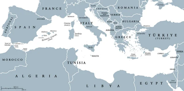
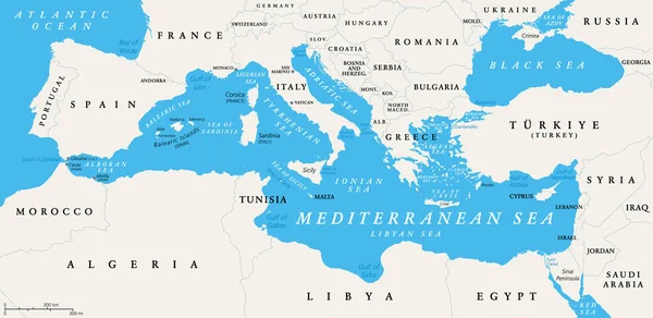
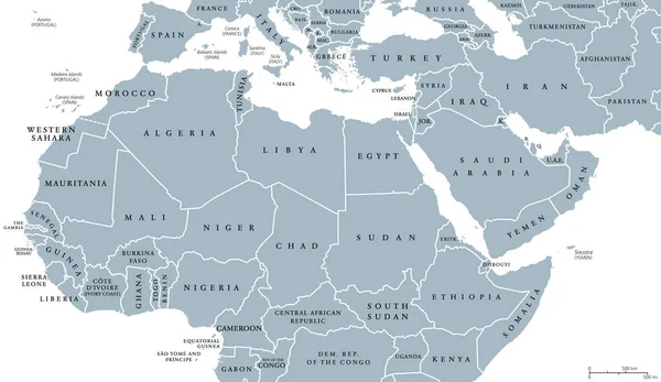
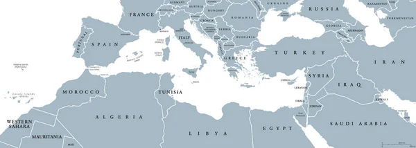
Stock vector Mediterranean Basin political map
Published: Dec.19, 2016 13:26:17
Author: Furian
Views: 929
Downloads: 9
File type: vector / eps
File size: 3.9 MB
Orginal size: 13333 x 4767 px
Available sizes:
Level: silver