Home
Images
Vectors
Videos
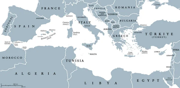
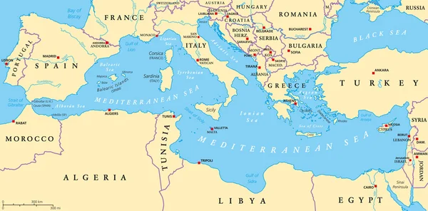
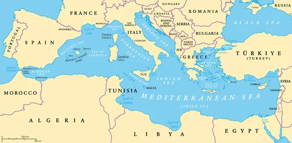
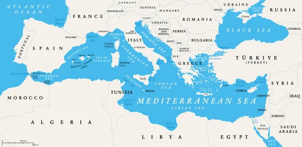
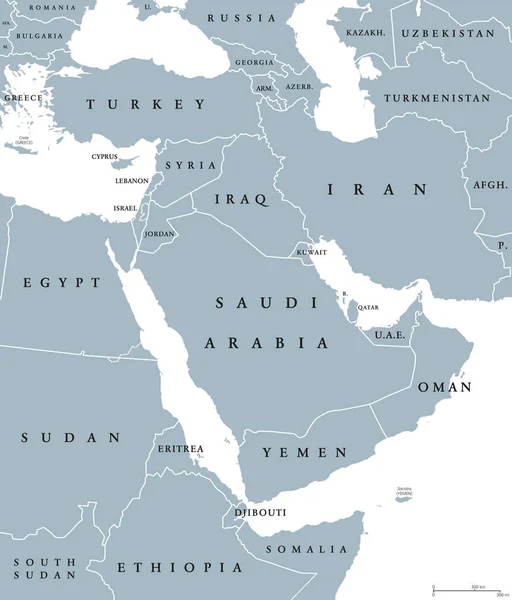
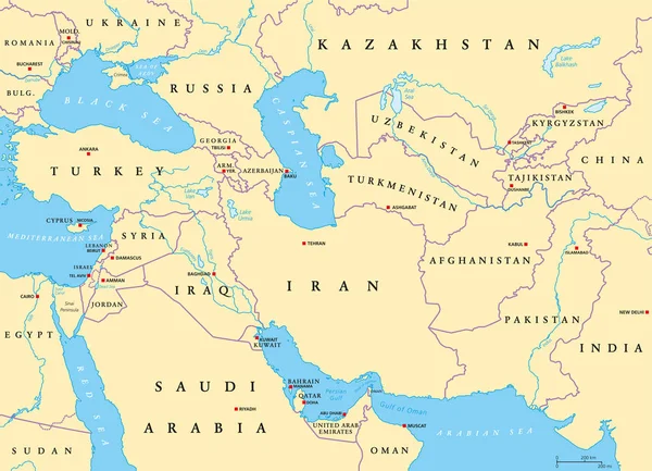
Stock vector Mediterranean Sea region countries map
Published:
Aug.29, 2016 13:23:52
Author:
Furian
Views:
2010
Downloads:
5
File type:
vector
/
eps
File size:
1.28 MB
Orginal size:
11500
x
5676
px
Available sizes:
S
(500 x 247)
M
(1000 x 494)
L
(2000 x 987)
XL
(11500 x 5676)
VECT
(11500 x 5676)
EL0
(11500 x 5676)
Level:
silver
Download Vector
Vector topics:
Illustration
Travel
Abstract
Sea
Coastline
Europe
South
Cruise
Country
Map
Cartography
Geography
Africa
Land
Mediterranean
State
Island
Adriatic
Destination
Region
Basin
Atlas
Aegean
Maghreb
Cyclades
Dodecanese
Balearic
Middle East
Mediterranean Sea
Political Map
Mediterranean Basin
Similar stock vectors
The Mediterranean Sea, Gray Political Map With International Borders, Countries And Islands. Connected To The Atlantic Ocean, Surrounded By The Mediterranean Basin, Almost Completely Enclosed By Land.
9000 × 4442
Mediterranean Sea Region Political Map
8987 × 4436
The Mediterranean Sea, Political Map With Subdivisions, Straits, Islands And Countries. Connected To The Atlantic Ocean, Surrounded By The Mediterranean Basin, Almost Completely Enclosed By Land.
9000 × 4442
The Mediterranean Sea Subdivisions, Political Map With Straits, Countries And The Black Sea. Connected To The Atlantic Ocean, Surrounded By The Mediterranean Basin, Almost Completely Enclosed By Land.
9000 × 4387
Middle East Political Map
7393 × 8666
Southwest Asia, Political Map With Capitals, Borders, Rivers And Lakes. Also Called Western, West Or Southwestern Asia. Subregion, Overlapping With Middle East. English Labeling. Illustration. Vector.
9333 × 6743