Home
Images
Vectors
Videos
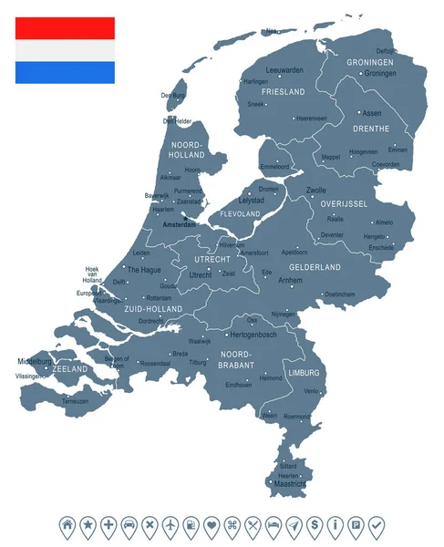
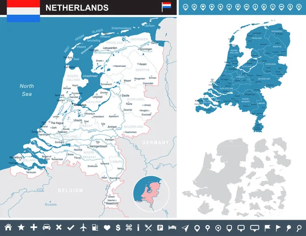
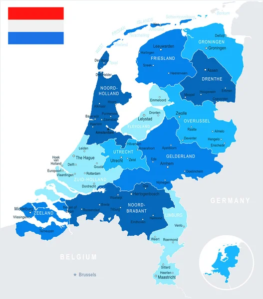
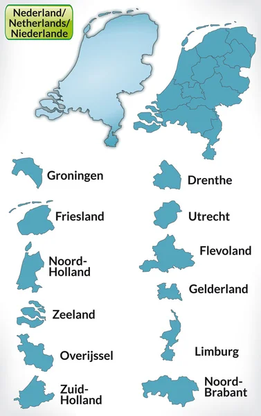
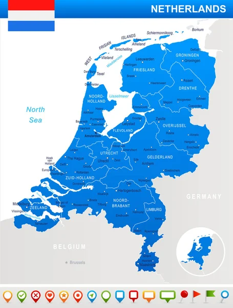
Stock vector Netherlands - map and flag illustration
Published:
Jul.11, 2017 05:32:39
Author:
dikobrazik
Views:
39
Downloads:
0
File type:
vector
/
eps
File size:
2.25 MB
Orginal size:
5900
x
7762
px
Available sizes:
S
(380 x 500)
M
(760 x 1000)
L
(1520 x 2000)
XL
(5900 x 7762)
VECT
(5900 x 7762)
EL0
(5900 x 7762)
Level:
silver
Download Vector
Vector topics:
Blue
Vector
Business
Sign
Label
Flag
Symbol
City
Pointing
Netherlands
Holland
Detailed
Map
Land
Government
Politics
Dutch
Amsterdam
Rotterdam
Haarlem
Regions
Utrecht
Computer Icon
Illustration And Painting
Capital Cities
Straight Pin
Navigational Equipment
Geographical Locations
The Hague
Interface Icons
Map Pointer
Map Of Netherlands
Similar stock vectors
Netherlands - Map And Flag Illustration
5900 × 7258
Netherlands - Infographic Map And Flag Illustration
7641 × 5900
Netherlands - Map And Flag Illustration
5900 × 6708
Map Of Netherlands With Borders In Blue
3174 × 5041
High Quality Political Map Of Belgium And Netherlands With Borders Of The Regions Or Provinces. Vector Illustration
4000 × 4000
Netherlands - Map And Flag Illustration
5900 × 7054
Netherlands - Vector Highly Detailed Political Map With Regions,
7000 × 7270
Netherlands Regions Map Vector
5200 × 5200