Home
Images
Vectors
Videos
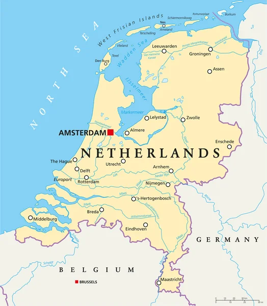
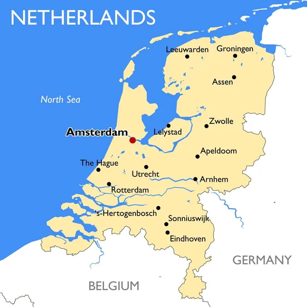
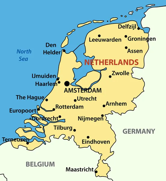
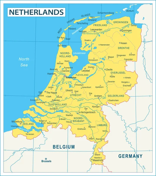
Stock vector Netherlands political map gray colored
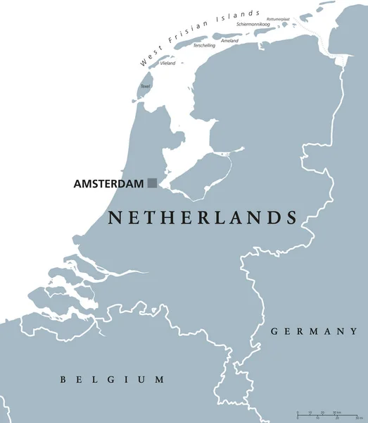
Published:
Dec.12, 2016 09:31:30
Author:
Furian
Views:
144
Downloads:
1
File type:
vector
/
eps
File size:
2.69 MB
Orginal size:
7275
x
8333
px
Available sizes:
S
(437 x 500)
M
(873 x 1000)
L
(1746 x 2000)
XL
(7275 x 8333)
VECT
(7275 x 8333)
EL0
(7275 x 8333)
Level:
silver
Download Vector
Vector topics:
Vector
Illustration
Labeling
Sea
Gray
Netherlands
Holland
Capital
North
Europe
Country
Map
Cartography
Geography
Germany
Land
Low
State
Republic
Islands
English
Belgium
Atlas
Neighbor
Nation
Amsterdam
Benelux
Netherland
Frisian
Wadden
White Background
Political Map
Similar stock vectors
Netherlands Political Map
6000 × 6868
White Map Of Netherlands
3474 × 4500
Netherlands Map | Vector Detailed Color Netherlands Map
9000 × 9000
Netherlands Map
5400 × 5400
Benelux Countries, Gray Colored Political Map. Belgium, Netherlands And Luxembourg. Benelux Union, A Geographic, Economic And Cultural Group. English Labeling. Illustration On White Background. Vector
6867 × 9333
Vector Illustration - The Kingdom Of The Netherlands
3700 × 4018
Map Of Netherlands - High Details Vector Illustration
5010 × 5668