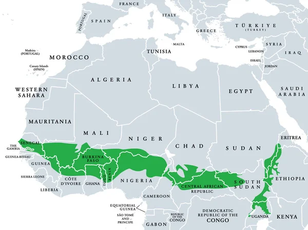
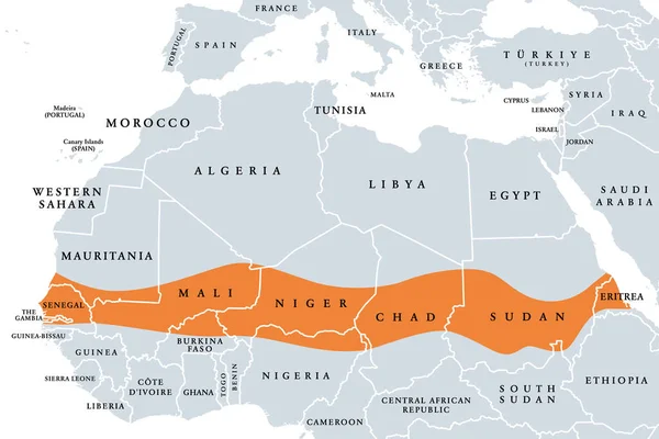
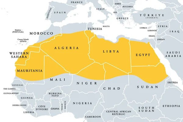
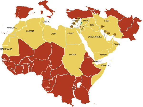
Stock vector Sahara, Sahel, and Sudanian savanna, political map. Sahara as largest hot desert in the world, the Sahel with hot semi-arid climate, and broad belt of tropical Sudanian savanna, on African continent.

Published: Jun.23, 2024 22:06:32
Author: Furian
Views: 0
Downloads: 0
File type: vector / eps
File size: 2.93 MB
Orginal size: 8072 x 6000 px
Available sizes:
Level: silver