Home
Images
Vectors
Videos
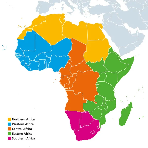
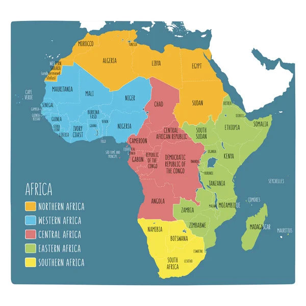
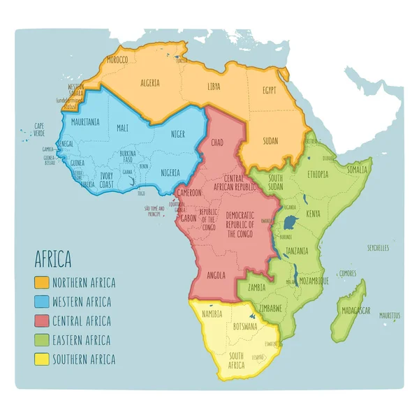
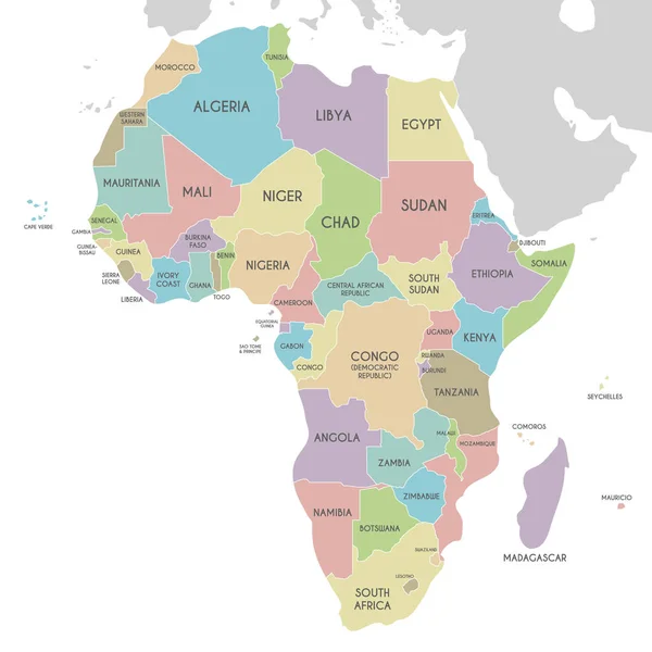
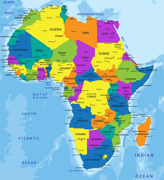
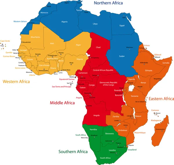
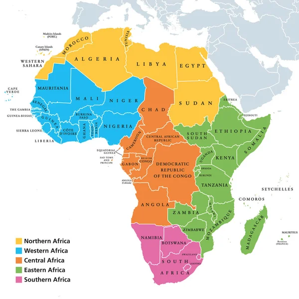
Stock vector Africa regions map with single countries
Published:
Feb.07, 2018 11:49:45
Author:
Furian
Views:
4242
Downloads:
8
File type:
vector
/
eps
File size:
5.25 MB
Orginal size:
8033
x
8033
px
Available sizes:
S
(500 x 500)
M
(1000 x 1000)
L
(2000 x 2000)
XL
(8033 x 8033)
VECT
(8033 x 8033)
EL0
(8033 x 8033)
Level:
silver
Download Vector
Vector topics:
Color
White
Vector
Background
Illustration
Single
Labeling
Travel
Border
Northern
Eastern
Country
Western
Map
Cartography
Geography
Africa
Continent
Land
Middle
Arrangement
Political
Region
Division
Southern
Central
English
Classification
Atlas
Nation
Names
Madagascar
Landmass
White Background
Southern Africa
Middle Africa
Northern Africa
Central Africa
Political Map
Africa Map
Subregion
Eastern Africa
Western Africa
English Labeling
Regions Of Africa
Geoscheme
Africa Regions
Similar stock vectors
Africa Regions Political Map
8033 × 8033
Colorful Hand Drawn Political Map Of Africa With Five Regions
6001 × 6001
Colorful Hand Drawn Political Map Of Africa With Five Regions
6001 × 6001
Political Africa Map Vector Illustration Isolated On White Background. Editable And Clearly Labeled Layers.
3400 × 3400
Map Of The States Of Africa With The Dates Of Their Independence
4586 × 4121
Colorful Africa Political Map
5163 × 5670
Map Of The Africa In The Colors Of The Flag With Administrative Divisions Vector
4348 × 4000
Africa
6991 × 6647