photo free
Home Images Vectors Videos

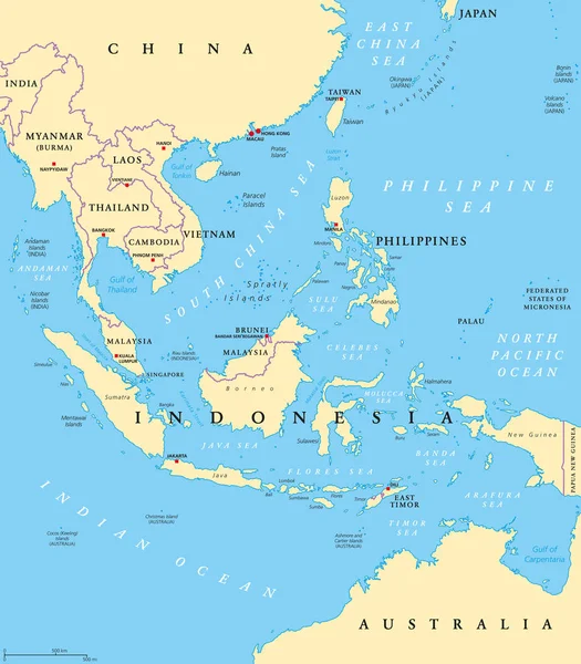
Stock vector Southeast Asia map. High detailed political map of southeastern region with country, capital, ocean and sea names labeling
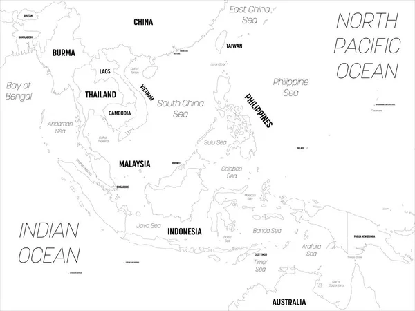
Stock vector Southeast Asia map. High detailed political map of southeastern region with country, capital, ocean and sea names labeling
Published: Apr.21, 2020 09:23:03
Author: pyty
Views: 168
Downloads: 1
File type: vector / eps
File size: 2.73 MB
Orginal size: 6000 x 4500 px
Available sizes:
S
(500 x 375)
M
(1000 x 750)
L
(2000 x 1500)
XL
(6000 x 4500)
VECT
(6000 x 4500)
EL0
(6000 x 4500)
Level: silver
Download Vector
Vector topics:

Similar stock vectors

stock vector Southeast Asia map - grey colored on dark background. High detailed political map of southeastern region with country, capital, ocean and sea names labeling

Southeast Asia Map - Grey Colored On Dark Background. High Detailed Political Map Of Southeastern Region With Country, Capital, Ocean And Sea Names Labeling

6000 × 4500
stock vector Southeast Asia map - white lands and grey water. High detailed political map of southeastern region with country, capital, ocean and sea names labeling

Southeast Asia Map - White Lands And Grey Water. High Detailed Political Map Of Southeastern Region With Country, Capital, Ocean And Sea Names Labeling

6000 × 4500
stock vector Southeast Asia, political map with capitals and borders. Subregion of Asia with countries south of China, east of India, west of New Guinea, north of Australia. English labeling. Illustration. Vector.

Southeast Asia, Political Map With Capitals And Borders. Subregion Of Asia With Countries South Of China, East Of India, West Of New Guinea, North Of Australia. English Labeling. Illustration. Vector.

7292 × 8333
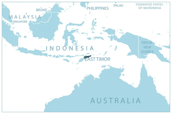
stock vector East Timor - blue map with neighboring countries and names. Vector illustration

East Timor - Blue Map With Neighboring Countries And Names. Vector Illustration

6907 × 4614
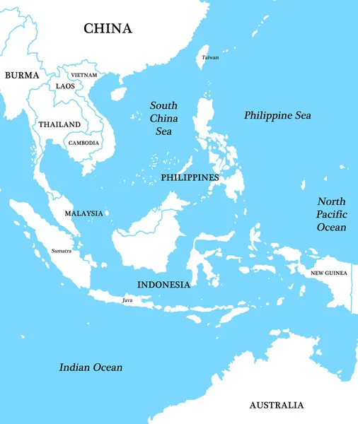
stock image Map of Indonesia

Map Of Indonesia

2700 × 3200
stock vector Australia and Southeast Asia map. High detailed political map of australian and southeastern Asia region with country, capital, ocean and sea names labeling

Australia And Southeast Asia Map. High Detailed Political Map Of Australian And Southeastern Asia Region With Country, Capital, Ocean And Sea Names Labeling

6000 × 4500
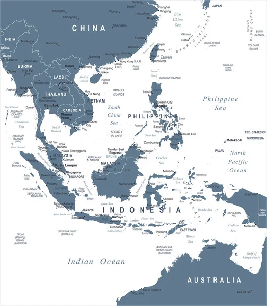
stock vector Southeast Asia Map - Vector Illustration

Southeast Asia Map - Vector Illustration

5500 × 6286
stock vector Indonesia Map - Vintage Vector Illustration

Indonesia Map - Vintage Vector Illustration

7861 × 5500