Home
Images
Vectors
Videos
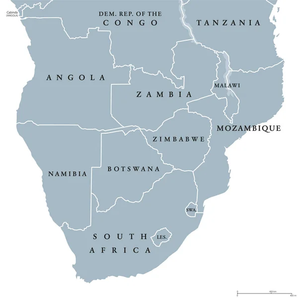
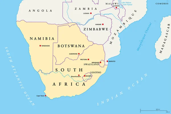
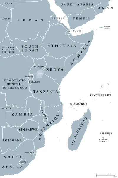
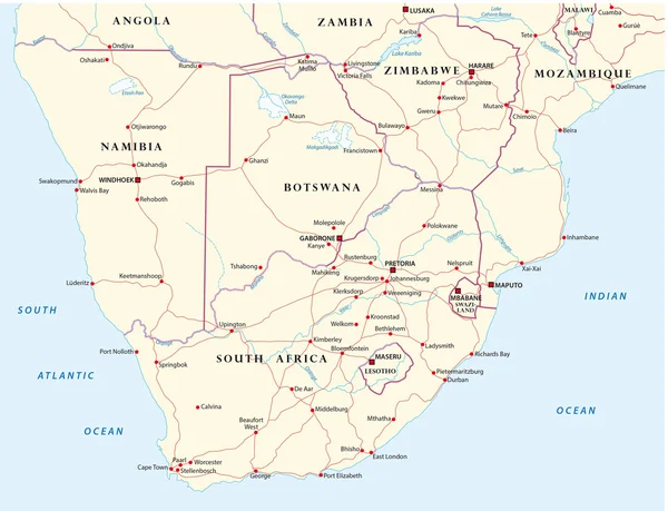
Stock vector Southern Africa region political map
Published:
May.31, 2019 14:02:21
Author:
Furian
Views:
56
Downloads:
3
File type:
vector
/
eps
File size:
2.84 MB
Orginal size:
9666
x
6444
px
Available sizes:
S
(500 x 333)
M
(1000 x 667)
L
(2000 x 1333)
XL
(9666 x 6444)
VECT
(9666 x 6444)
EL0
(9666 x 6444)
Level:
silver
Download Vector
Vector topics:
Group
Vector
Illustration
Labeling
Travel
Border
African
Gray
South
Country
Map
Cartography
Geography
Africa
Continent
Land
Overview
State
Boundary
Political
Republic
Region
Southern
English
Malawi
Atlas
Nation
Mapping
Namibia
Madagascar
Swaziland
Botswana
Lesotho
Mozambique
Zambia
Zimbabwe
White Background
Southern Africa
South Africa
Political Map
Africa Map
Subregion
Map Of Africa
English Labeling
African Region
Similar stock vectors
Southern Africa Political Map
8033 × 8035
Southern Africa Region, Political Map
9733 × 6489
Blue-gray Detailed Map Of South Africa Administrative Divisions And Location On The Globe. Vector Illustration
5304 × 6912
Illustrated Country Shape Of South Africa
4167 × 2778
Ryazan, Russia - July 08, 2018: Country Of Botswana On The Google Maps Service
5184 × 3456
East Africa Region Political Map
6445 × 9666
Road Map Of States Of Southern Africa
4050 × 3100