Home
Images
Vectors
Videos
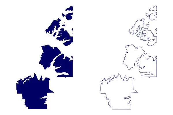
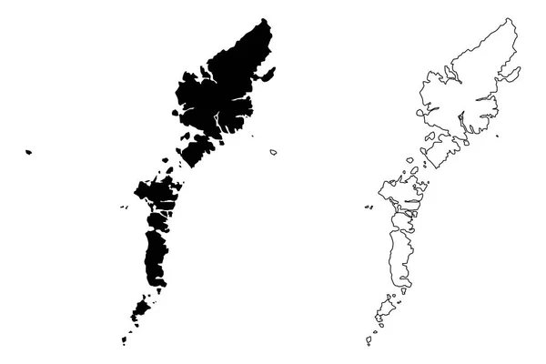
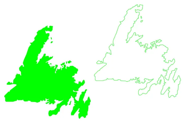
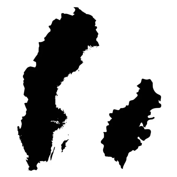
Stock vector Southland blank outline map set
Published:
Mar.27, 2024 08:46:12
Author:
davidzydd
Views:
0
Downloads:
0
File type:
vector
/
eps
File size:
10.41 MB
Orginal size:
6000
x
3000
px
Available sizes:
S
(500 x 250)
M
(1000 x 500)
L
(2000 x 1000)
XL
(6000 x 3000)
VECT
(6000 x 3000)
EL0
(6000 x 3000)
Level:
silver
Download Vector
Vector topics:
Illustration
Design
Set
Isolated
Shape
Empty
Cut
Silhouette
Symbol
Flat
Template
Detailed
Collection
Map
Area
Administrative
Atlas
Regional
Southland
New Zealand
Blank Map
Outline Map
Regional Map
New Zealand Regions
New Zealand Region Map
New Zealand Region
Regional Maps
Southland Border Map
Southland Boundary
Southland Contour
Southland Contour Map
Southland Map
Southland Map Vector
Southland Maps
Southland Outline
Southland Outline Map
Southland Outline Maps
Southland Region Map
Southland Silhouette
Blank Map Of Southland
Empty Southland Map
Vector Map Of Southland
Similar stock vectors
Inuvik Region (Canada, Northwest Territories, North America) Map Vector Illustration, Scribble Sketch Inuvik Map
7087 × 4726
Comhairle Nan Eilean Siar (United Kingdom, Scotland, Local Government In Scotland) Map Vector Illustration, Scribble Sketch Na H-Eileanan Siar ( Outer Hebrides And Isle Of Lewis) Map
7087 × 4726
Scandinavia Map. Norway, Sweden, Finland, Denmark, Iceland And Faroe Islands. Nordic Countries Map. Vector Illustration For Infographics
8824 × 7263
Dot Sweden Map With Blue Variant
6021 × 6058
Norway Map Colorful Country Icon
4521 × 4521
Norway - Detailed Country Outline And Location On World Map. Vector Illustration
7647 × 5410
Newfoundland Island (Canada, Newfoundland And Labrador Province, North America) Map Vector Illustration, Scribble Sketch Newfoundland Map
7087 × 4726
Isolated Vector Illustration. Black On White Background. EPS 10 Illustration
10000 × 10000