photo free
Home Images Vectors Videos

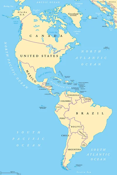
Stock vector The Americas political map
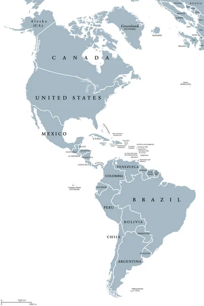
Stock vector The Americas political map
Published: Jul.31, 2017 07:47:00
Author: Furian
Views: 439
Downloads: 10
File type: vector / eps
File size: 3.26 MB
Orginal size: 6521 x 9777 px
Available sizes:
S
(333 x 500)
M
(667 x 1000)
L
(1334 x 2000)
XL
(6521 x 9777)
VECT
(6521 x 9777)
EL0
(6521 x 9777)
Level: silver
Download Vector
Vector topics:

Similar stock vectors

stock vector Latin America countries political map

Latin America Countries Political Map

7444 × 8666
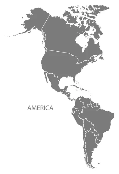
stock vector America with countries Map grey

America With Countries Map Grey

5000 × 7287
stock vector The Americas, North and South America, political map

The Americas, North And South America, Political Map

6520 × 9777
stock vector Great social US republic capital zone shape on white paper texture. Line black ink hand drawn web global planet island logo emblem pictogram concept frame design in art modern doodle cartoon vector style

Great Social US Republic Capital Zone Shape On White Paper Texture. Line Black Ink Hand Drawn Web Global Planet Island Logo Emblem Pictogram Concept Frame Design In Art Modern Doodle Cartoon Vector Style

3794 × 5454
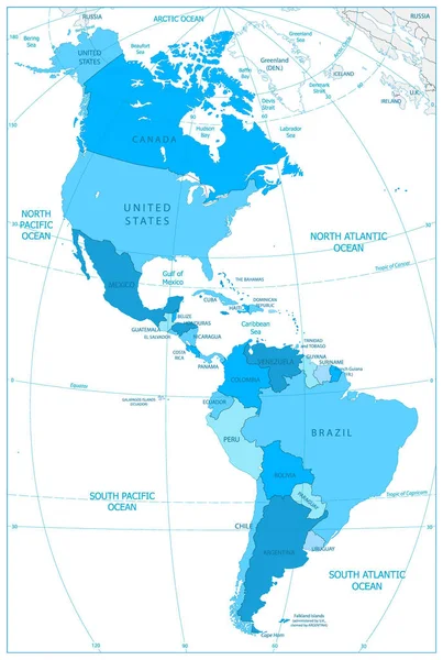
stock vector North and South America Map In Colors Of Blue

North And South America Map In Colors Of Blue

5511 × 8192
stock vector South and North America Political Map in Mercator Projection. Vector Illustration. Map with Name of Countries Isolated on White.

South And North America Political Map In Mercator Projection. Vector Illustration. Map With Name Of Countries Isolated On White.

6833 × 8150
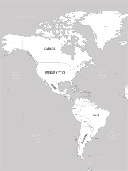
stock vector Americas map - white lands and grey water. High detailed political map of North and South America continent with country, capital, ocean and sea names labeling

Americas Map - White Lands And Grey Water. High Detailed Political Map Of North And South America Continent With Country, Capital, Ocean And Sea Names Labeling

4500 × 6000
stock vector Americas map. High detailed political map of North and South America continent with country, capital, ocean and sea names labeling

Americas Map. High Detailed Political Map Of North And South America Continent With Country, Capital, Ocean And Sea Names Labeling

4500 × 6000