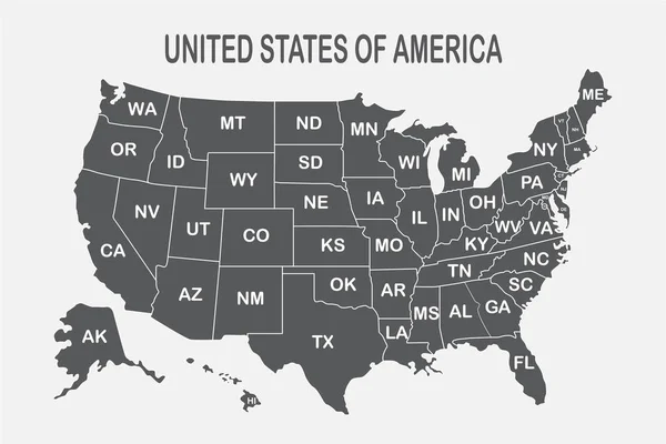
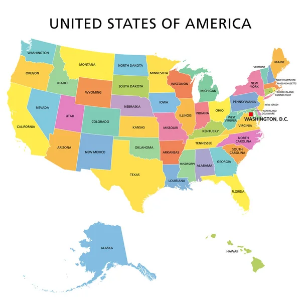
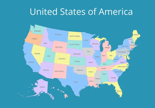
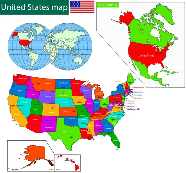
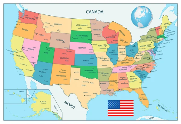
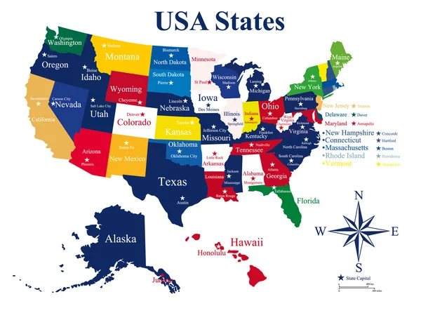
Stock vector the USA map

Published: May.16, 2017 13:58:38
Author: Caribia
Views: 132
Downloads: 0
File type: vector / eps
File size: 3.38 MB
Orginal size: 7000 x 4197 px
Available sizes:
Level: bronze