Home
Images
Vectors
Videos
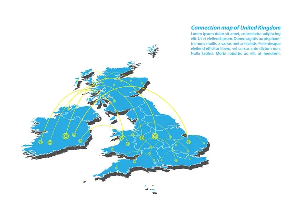
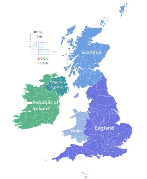
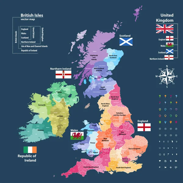
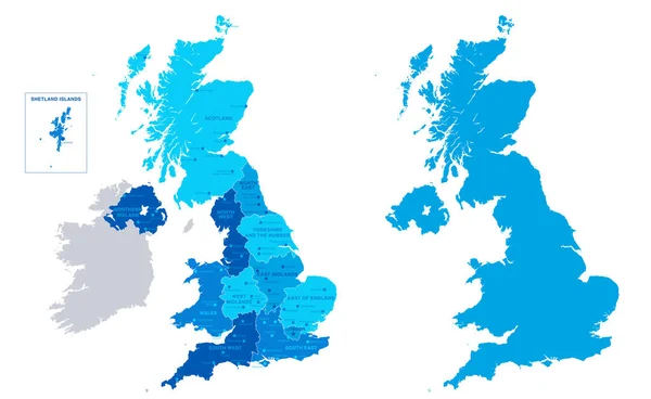
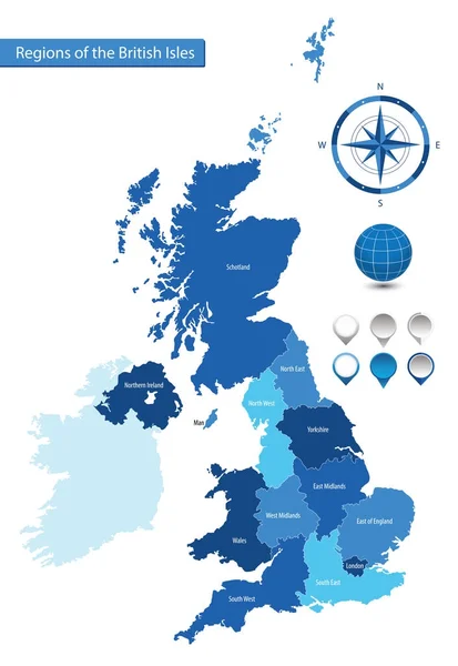
Stock vector Vector map of the regions of the British Isles
Published:
Dec.12, 2017 10:02:54
Author:
martinova4
Views:
180
Downloads:
2
File type:
vector
/
eps
File size:
1.58 MB
Orginal size:
4887
x
7087
px
Available sizes:
S
(345 x 500)
M
(690 x 1000)
L
(1379 x 2000)
XL
(4887 x 7087)
VECT
(4887 x 7087)
EL0
(4887 x 7087)
Level:
beginner
Download Vector
Vector topics:
Vector
Illustration
Business
Man
European
Border
Flag
City
Earth
Northern
Map
National
Ireland
Land
State
Topography
Island
Government
Politics
United
Commonwealth
Kingdom
Britain
London
British
England
Yorkshire
Wales
Scotland
County
Staffordshire
Topographic
Hampshire
Regions
Cheshire
Devon
Belfast
Schotland
North West
South West
Northern Ireland
West Midlands
South East
North East
Monarchia
East Of England
And Painting
Similar stock vectors
Modern Of United Kingdom Map Connections Network Design, Best Internet Concept Of United Kingdom Map Business From Concepts Series, Map Point And Line Composition. Infographic Map. Vector Illustration.
5000 × 3500
Blue-green Detailed Map Of United Kingdom And Administrative Divisions With Country Flag And Location On The Globe.
5329 × 6332
Telecommunications Network Of The British Isles, Abstract United Kingdom Map Polygonal Geographic Map, Political Map Of Great Britain And Ireland Blank For Design
7889 × 5906
Vector Map Of British Isles
5979 × 7292
Vector Map Of British Isles Administrative Divisions Colored By Countries And Regions. Districts And Counties Maps And Flags Of United Kingdom,Northern Ireland, Wales, Scotland And Republic Of Ireland
7292 × 7292
United Kingdom -highly Detailed Map.All Elements Are Separated In Editable Layers Clearly Labeled. Vector
8000 × 4911
United Kingdom - Map And Flag - Illustration.
5400 × 6470