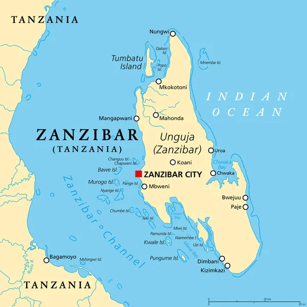
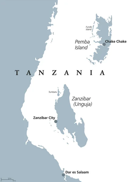
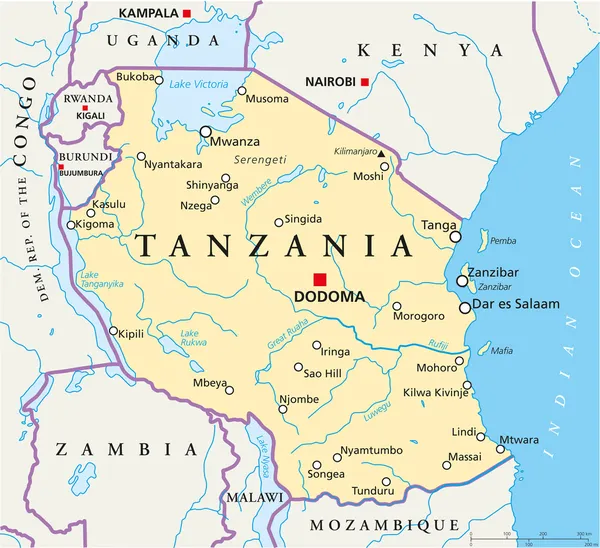
Stock vector Zanzibar Political Map

Published: Dec.05, 2014 13:41:29
Author: Furian
Views: 1512
Downloads: 16
File type: vector / eps
File size: 1.26 MB
Orginal size: 6000 x 8925 px
Available sizes:
Level: silver