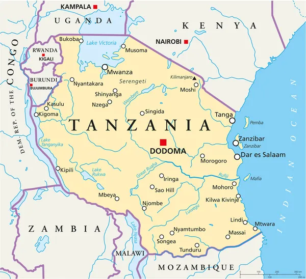
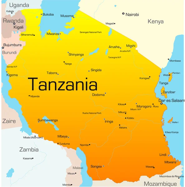
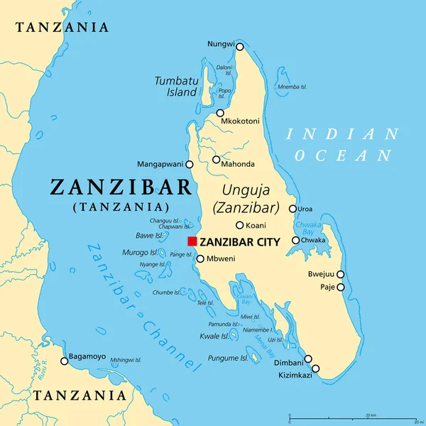
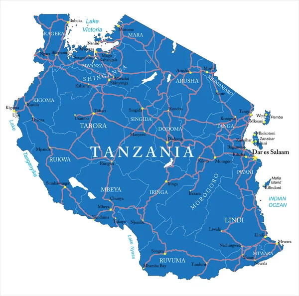
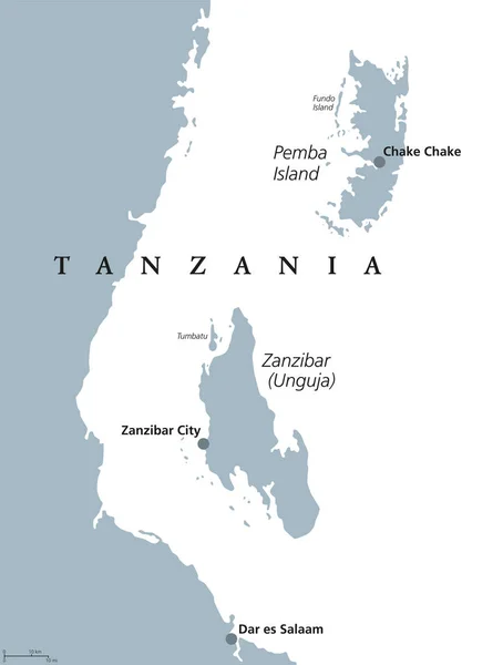
Stock vector Zanzibar and Pemba Tanzania political map
Published: Jul.19, 2017 06:50:01
Author: Furian
Views: 166
Downloads: 8
File type: vector / eps
File size: 2.22 MB
Orginal size: 6913 x 9133 px
Available sizes:
Level: silver