
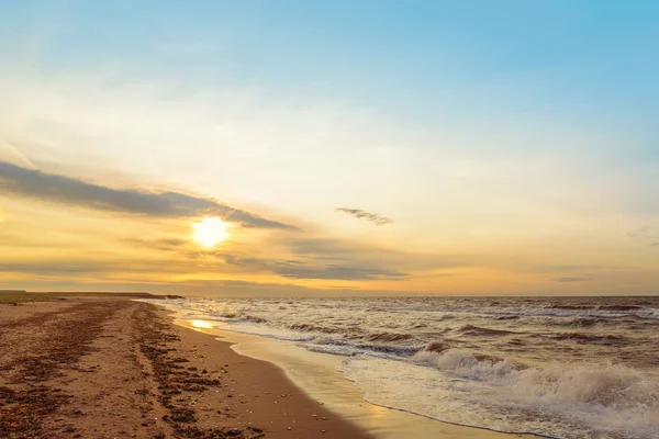
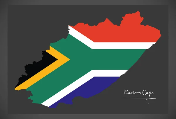
Stock image Cape Provinces

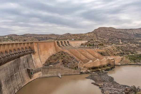
Wall Of The Vanderkloof Dam In The Orange River On The Border Of The Free State And Northern Cape Provinces
Image, 5.53MB, 3591 × 2400 jpg

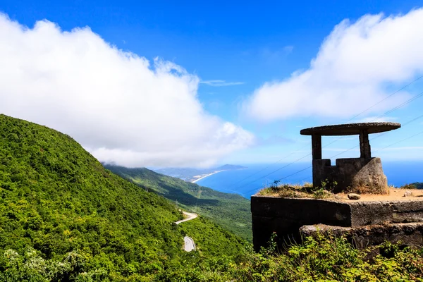


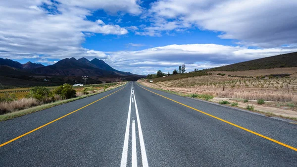
Middle Of Road Through Wine Vineyard Farms Route Through Local Mountain Landscape.
Image, 15.63MB, 5616 × 3159 jpg
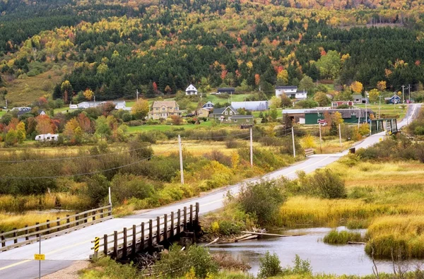
Small Town Near Cheticamp, Cape Breton Highlands, Nova Scotia, Canada
Image, 7.33MB, 5450 × 3592 jpg

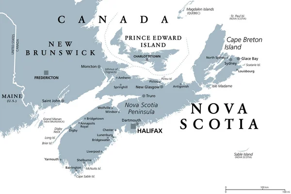
Nova Scotia, Maritime And Atlantic Province Of Canada, Political Map. Cape Breton Island And Nova Scotia Peninsula, With Capital Halifax. Borders On The Bay Of Fundy, Gulf Of Maine And Atlantic Ocean.
Vector, 5.15MB, 9000 × 6000 eps
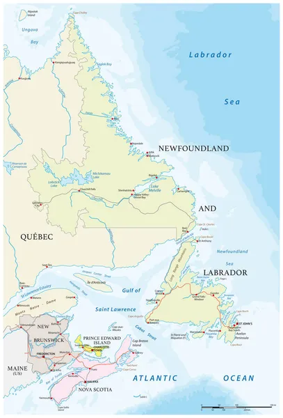
Nova Scotia, Maritime And Atlantic Province Of Canada, Gray Political Map. Cape Breton Island And Nova Scotia Peninsula, With Capital Halifax. Bordering On The Gulf Of Maine And On The Atlantic Ocean.
Vector, 2.38MB, 9000 × 6000 eps
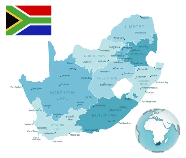
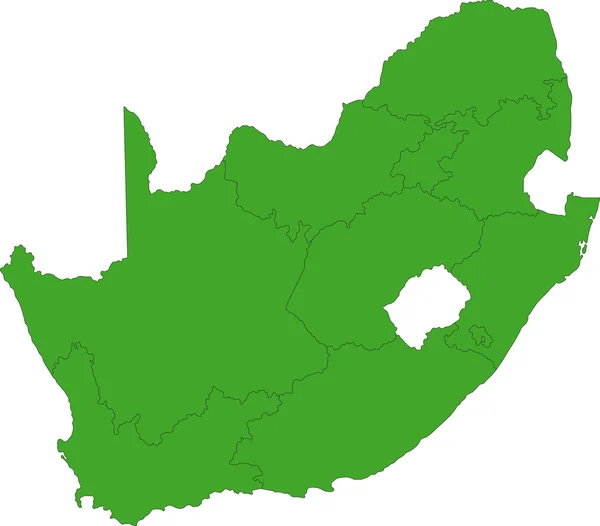
South Africa Administrative Blue-green Map With Country Flag And Location On A Globe. Vector Illustration
Vector, 8.43MB, 5704 × 4847 eps

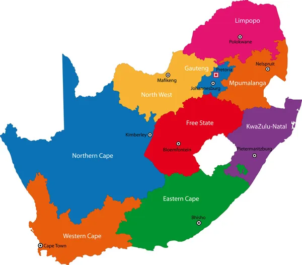
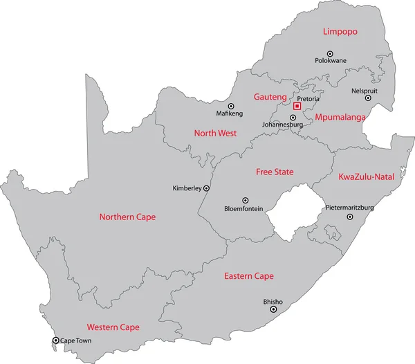

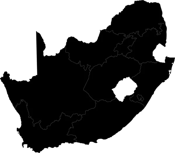
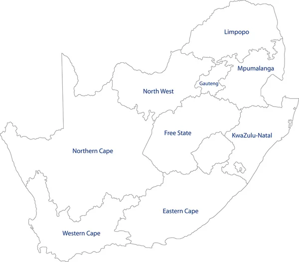
Country Political Geographical Map Of South Africa With Provinces With Shadows
Image, 0.65MB, 3500 × 2000 jpg
Page 1 >> Next