photo free
Home Images Vectors Videos

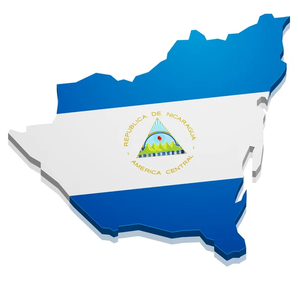
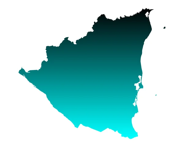
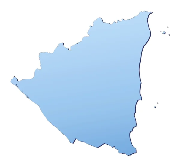
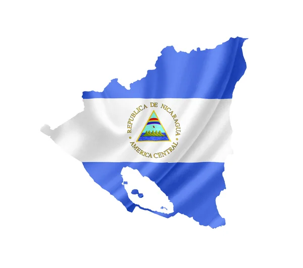
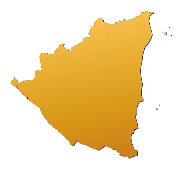
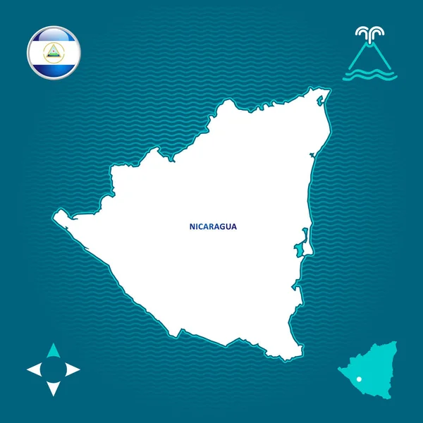
Stock image Nicaragua Contour Map

stock vector nicaragua

Nicaragua

Vector, 2.35MB, 4000 × 4000 eps
stock vector Nicaragua outline map set

Nicaragua Outline Map Set

Vector, 3.08MB, 4872 × 4955 eps
stock vector Nicaragua

Nicaragua

Vector, 0.27MB, 5666 × 2685 eps
stock vector Nicaragua map

Nicaragua Map

Vector, 2.14MB, 5000 × 4000 eps
stock image map Nicaragua. Isolated Illustration. Black on White background.

Map Nicaragua. Isolated Illustration. Black On White Background.

Image, 0.49MB, 5000 × 5000 jpg
stock vector North America map

North America Map

Vector, 16.2MB, 7012 × 6015 eps
stock vector Map of Caribbean region and Central America. Grey land silhouette and blue water background. Simple flat vector illustration

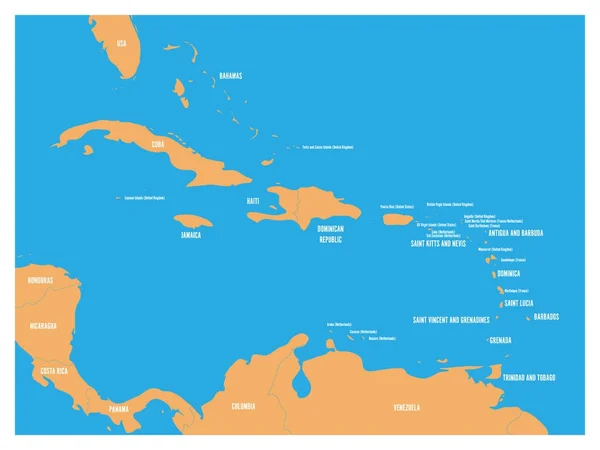
Map Of Caribbean Region And Central America. Grey Land Silhouette And Blue Water Background. Simple Flat Vector Illustration

Vector, 0.41MB, 8000 × 6000 eps
stock vector Central America and Carribean states political map. Black outline borders. Simple flat vector illustration

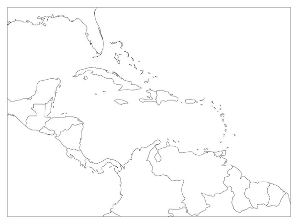
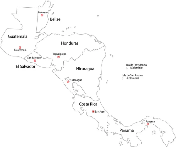
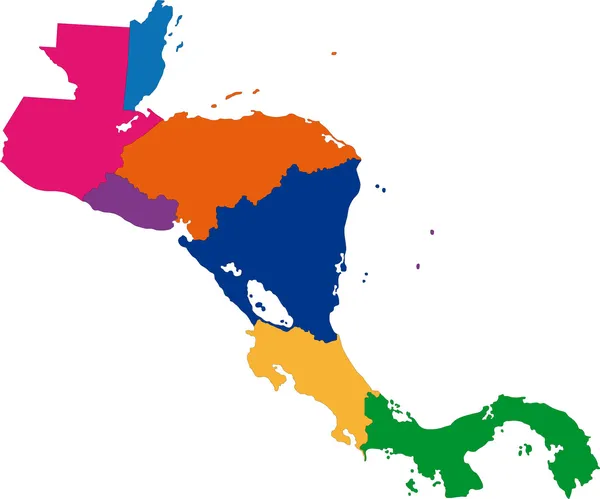
Central America And Carribean States Political Map. Black Outline Borders. Simple Flat Vector Illustration

Vector, 1.73MB, 8000 × 6000 eps
stock vector Central America polygonal outline vector maps

Central America Polygonal Outline Vector Maps

Vector, 0.13MB, 6667 × 5000 eps
stock vector Map Nicaragua

Map Nicaragua

Vector, 3.22MB, 5906 × 5906 eps
stock vector North America map and country contours - Illustration.

North America Map And Country Contours - Illustration.

Vector, 5.77MB, 5400 × 4488 eps
stock vector Modern of nicaragua Map connections network design, Best Internet Concept of nicaragua map business from concepts series, map point and line composition. Infographic map. Vector Illustration.

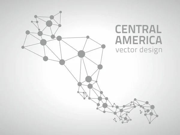
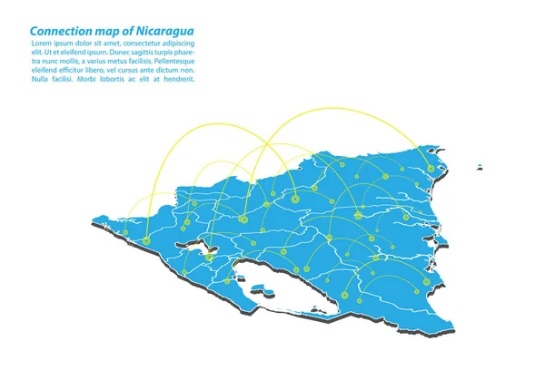
Modern Of Nicaragua Map Connections Network Design, Best Internet Concept Of Nicaragua Map Business From Concepts Series, Map Point And Line Composition. Infographic Map. Vector Illustration.

Vector, 6.28MB, 5000 × 3500 eps
stock vector Map of Nicaragua connection. Vector low-poly image of a global map with lights in the form of cities

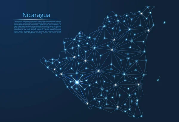
Map Of Nicaragua Connection. Vector Low-poly Image Of A Global Map With Lights In The Form Of Cities

Vector, 5.61MB, 8192 × 5600 eps
stock vector Central America and Carribean states political map. Black outline borders with black country names labels. Simple flat vector illustration

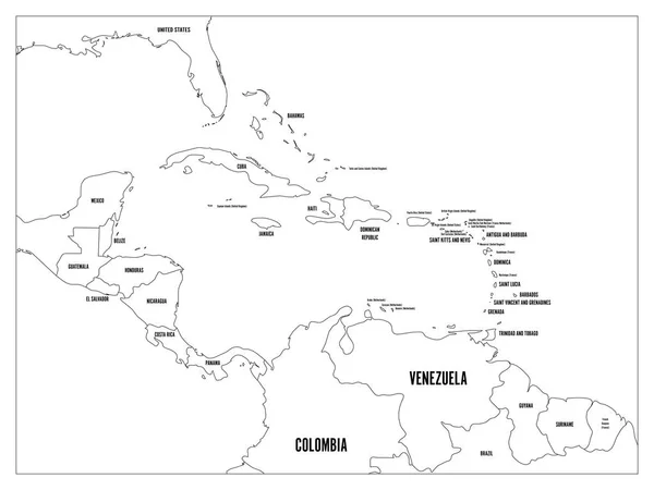
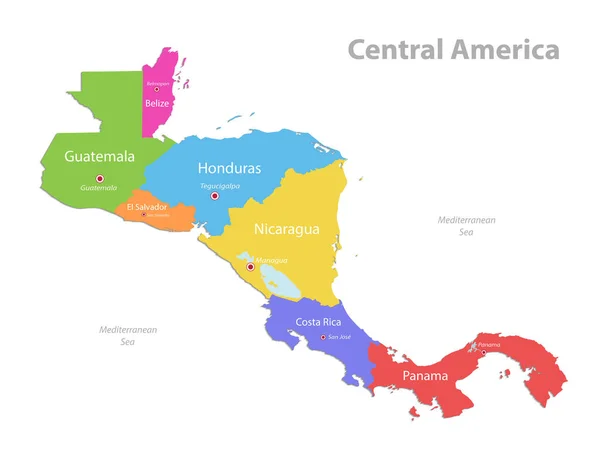
Central America And Carribean States Political Map. Black Outline Borders With Black Country Names Labels. Simple Flat Vector Illustration

Vector, 2.59MB, 8000 × 6000 eps
stock vector Map of Nicaragua

Map Of Nicaragua

Vector, 0.66MB, 5000 × 4000 eps
stock vector South America map and country contours - Illustration.

South America Map And Country Contours - Illustration.

Vector, 4.51MB, 5400 × 4905 eps
stock vector nicaragua administrative map with flag

Nicaragua Administrative Map With Flag

Vector, 1.02MB, 3582 × 3100 eps
stock vector Central America and Carribean states political map. Yellow land with black country names labels on blue sea background. Simple flat vector illustration

Central America And Carribean States Political Map. Yellow Land With Black Country Names Labels On Blue Sea Background. Simple Flat Vector Illustration

Vector, 1.2MB, 6000 × 4500 eps
stock vector Contour Central America map

Contour Central America Map

Vector, 2.93MB, 6005 × 5005 eps
stock image Nicaragua map

Nicaragua Map

Image, 1.17MB, 3356 × 3106 jpg
stock vector North America countries

North America Countries

Vector, 1.58MB, 3543 × 4724 eps
stock image Caribbean islands Central America map, new political detailed map, separate individual states, isolated on white background 3D raster

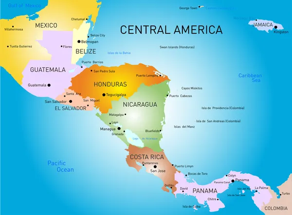
Caribbean Islands Central America Map, New Political Detailed Map, Separate Individual States, Isolated On White Background 3D Raster

Image, 1.03MB, 5011 × 3300 jpg
stock vector Nicaragua vector map with infographic elements, pointer marks. Editable template with regions, cities and capital Managua.

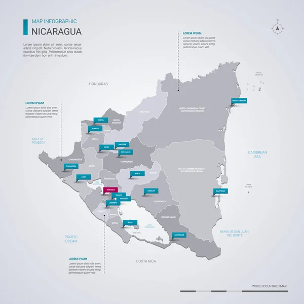
Nicaragua Vector Map With Infographic Elements, Pointer Marks. Editable Template With Regions, Cities And Capital Managua.

Vector, 2.74MB, 4000 × 4000 eps
stock image Map of Nicaragua with waving flag isolated on white

Map Of Nicaragua With Waving Flag Isolated On White

Image, 1.35MB, 3216 × 2848 jpg
stock vector Honduras

Honduras

Vector, 1.23MB, 5020 × 3626 eps
stock vector North America - map and navigation icons - illustration.

North America - Map And Navigation Icons - Illustration.

Vector, 4.62MB, 5400 × 7396 eps
stock vector Chinandega Department (Republic of Nicaragua, Departments of Nicaragua) map vector illustration, scribble sketch Chinandega (NI-CI) ma

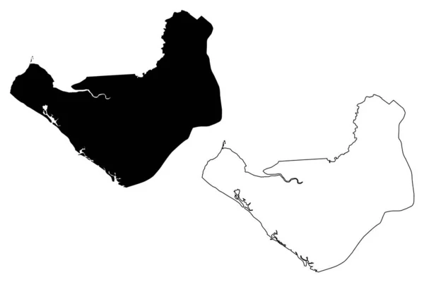
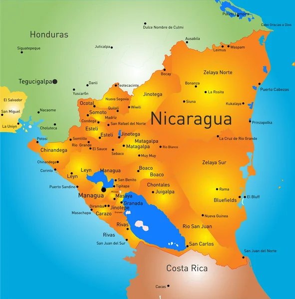
Chinandega Department (Republic Of Nicaragua, Departments Of Nicaragua) Map Vector Illustration, Scribble Sketch Chinandega (NI-CI) Ma

Vector, 0.63MB, 7087 × 4726 eps
stock vector Outline map of North America. vector illustration.

Outline Map Of North America. Vector Illustration.

Vector, 1.09MB, 5000 × 5000 eps
stock vector North America political map

North America Political Map

Vector, 5.86MB, 7000 × 8218 eps
stock vector Central America and Carribean states political map. Yellow land with black country names labels on blue sea background. Simple flat vector illustration

Central America And Carribean States Political Map. Yellow Land With Black Country Names Labels On Blue Sea Background. Simple Flat Vector Illustration

Vector, 2.62MB, 8000 × 6000 eps
stock vector Outline Nicaragua map

Outline Nicaragua Map

Vector, 3.06MB, 5304 × 4577 eps
stock image Physical map of the world, satellite view of central America. Globe. Hemisphere. Reliefs and oceans. 3d rendering. Elements of this image are furnished by NASA

Physical Map Of The World, Satellite View Of Central America. Globe. Hemisphere. Reliefs And Oceans. 3d Rendering. Elements Of This Image Are Furnished By NASA

Image, 8.99MB, 5511 × 4000 jpg
stock image Nicaragua map

Nicaragua Map

Image, 1.35MB, 3356 × 3106 jpg
stock vector central america map

Central America Map

Vector, 1.47MB, 8535 × 6317 eps
stock vector Central America map

Central America Map

Vector, 2.81MB, 6002 × 5002 eps
stock vector Central America map, separate individual states with state names, color map isolated on white background vector

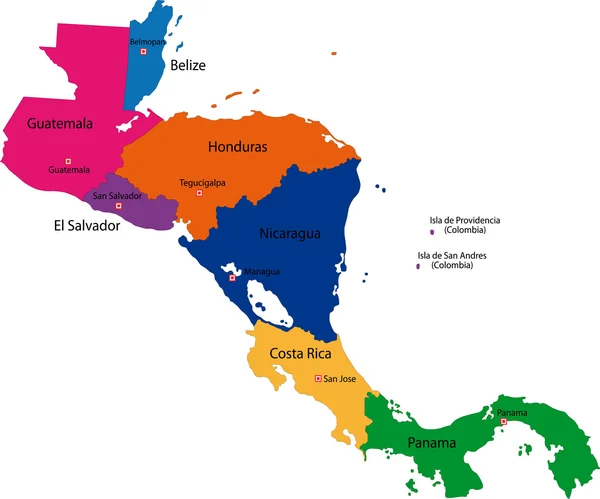
Central America Map, Separate Individual States With State Names, Color Map Isolated On White Background Vector

Vector, 1.5MB, 5198 × 4000 eps
stock vector Central America map

Central America Map

Vector, 2.92MB, 6002 × 5002 eps
stock vector nicaragua

Nicaragua

Vector, 1.75MB, 6290 × 6384 eps
stock vector Simple outline map of Nicaragua with national symbols

Simple Outline Map Of Nicaragua With National Symbols

Vector, 2.86MB, 2362 × 2362 eps
stock vector Editable Central America map with all countries.

Editable Central America Map With All Countries.

Vector, 2.09MB, 4272 × 4167 eps
stock vector Green Central America

Green Central America

Vector, 2.92MB, 6004 × 5003 eps
stock vector Central America map, separate states whit names, blue background vector

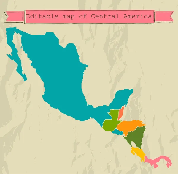
Central America Map, Separate States Whit Names, Blue Background Vector

Vector, 1.27MB, 5561 × 4000 eps
stock vector Nicaragua map

Nicaragua Map

Vector, 2.83MB, 6004 × 5003 eps
stock vector Costa Rica

Costa Rica

Vector, 2.18MB, 5747 × 6276 eps
stock vector Green Nicaragua map

Green Nicaragua Map

Vector, 3.13MB, 5303 × 4575 eps
stock vector Black Central America map

Black Central America Map

Vector, 2.81MB, 6005 × 5005 eps
stock vector North America map

North America Map

Vector, 8.32MB, 7000 × 7000 eps
stock vector South America - map and navigation icons - illustration.

South America - Map And Navigation Icons - Illustration.

Vector, 3.4MB, 5400 × 7453 eps
stock vector Central America map

Central America Map

Vector, 5.14MB, 7000 × 7000 eps
stock vector Black Nicaragua map

Black Nicaragua Map

Vector, 2.95MB, 5301 × 4575 eps
Page 1 >> Next