
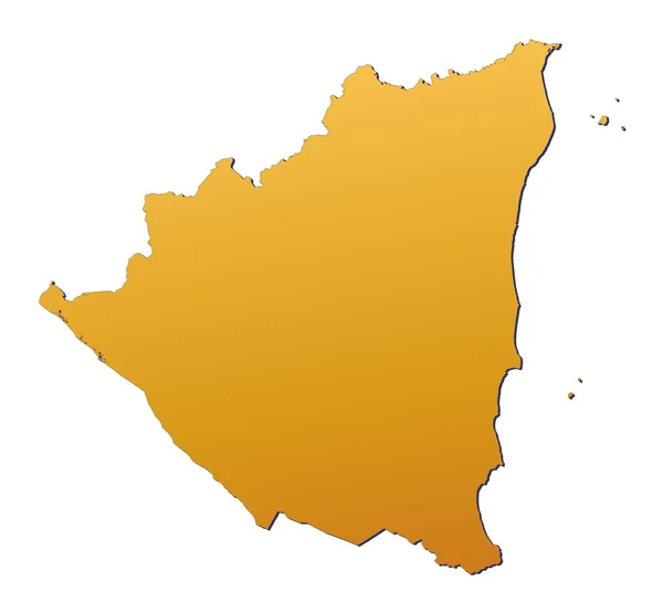
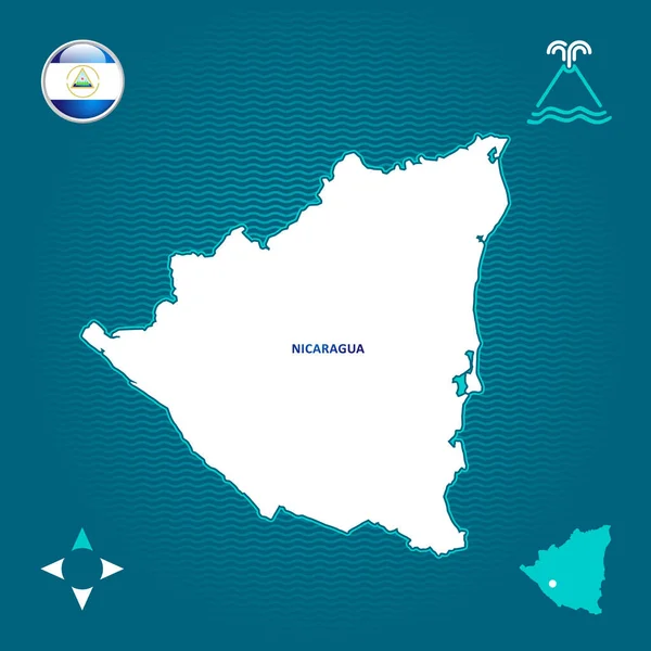
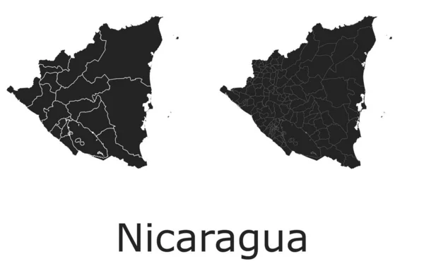
Stock image Nicaragua Contour Map page 2
Chinandega Department (Republic Of Nicaragua, Departments Of Nicaragua) Map Vector Illustration, Scribble Sketch Chinandega (NI-CI) Ma
Vector, 0.63MB, 7087 × 4726 eps

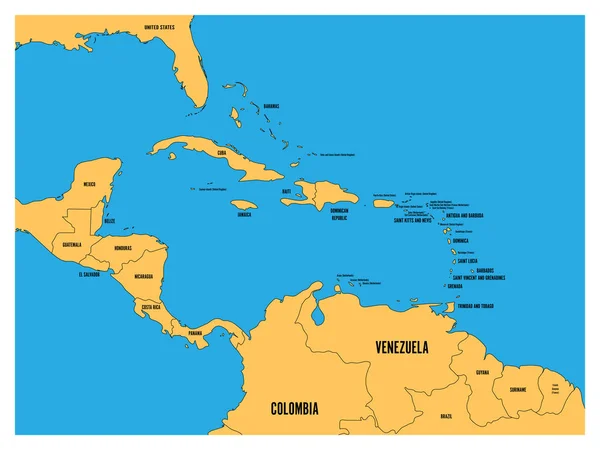
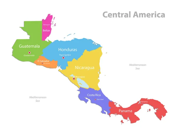
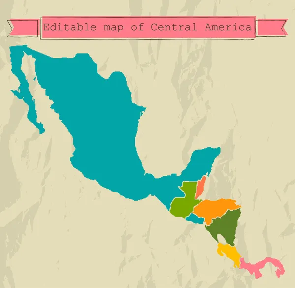
Central America And Carribean States Political Map. Yellow Land With Black Country Names Labels On Blue Sea Background. Simple Flat Vector Illustration
Vector, 2.62MB, 8000 × 6000 eps


Physical Map Of The World, Satellite View Of Central America. Globe. Hemisphere. Reliefs And Oceans. 3d Rendering. Elements Of This Image Are Furnished By NASA
Image, 8.99MB, 5511 × 4000 jpg
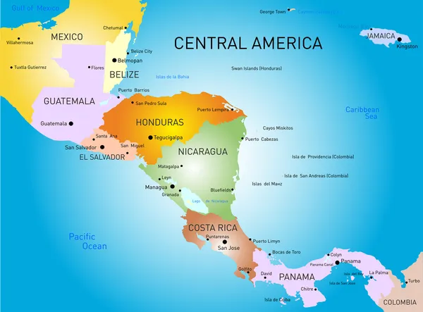
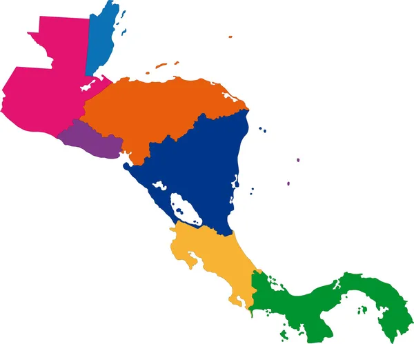
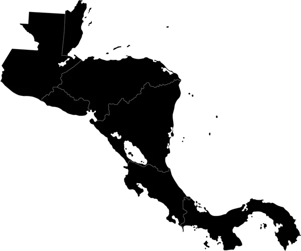
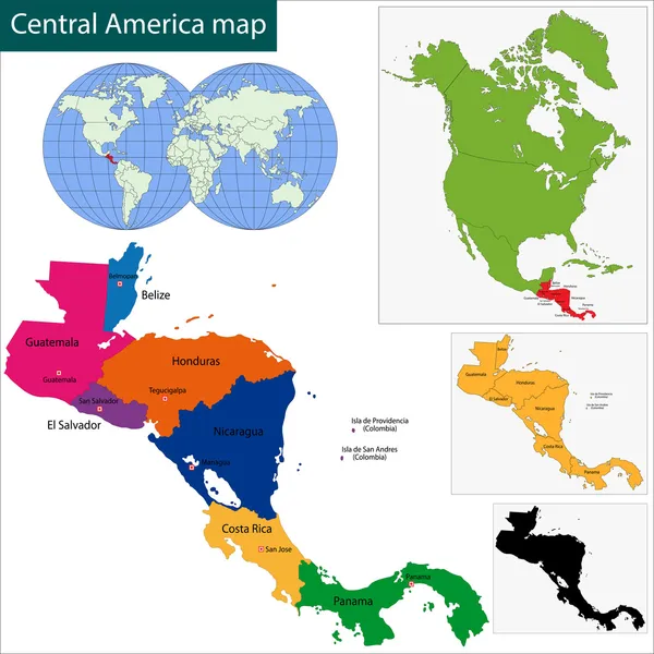
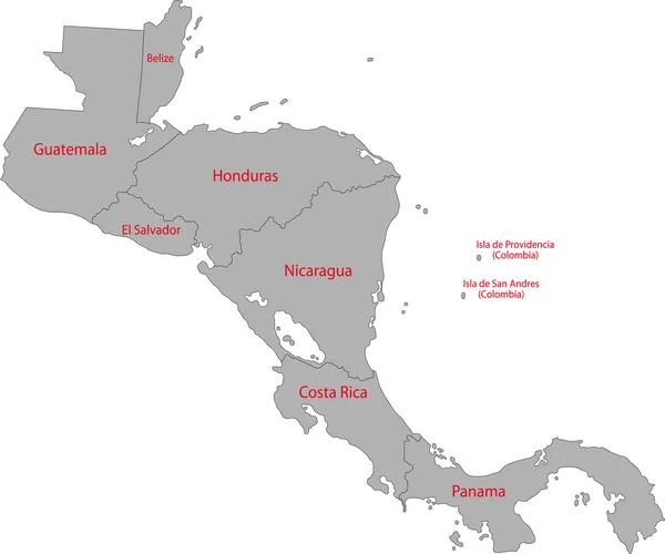
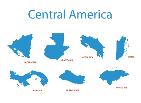
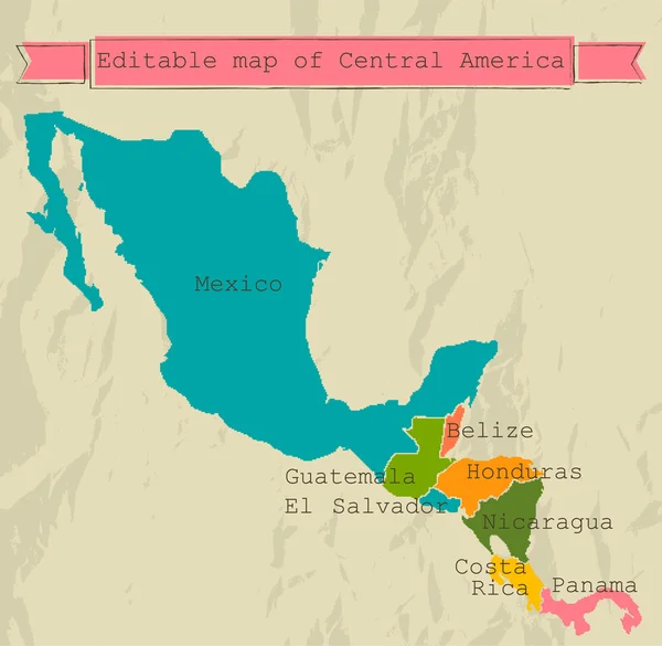
Central America Map, Separate Individual States With State Names, Color Map Isolated On White Background Vector
Vector, 1.5MB, 5198 × 4000 eps
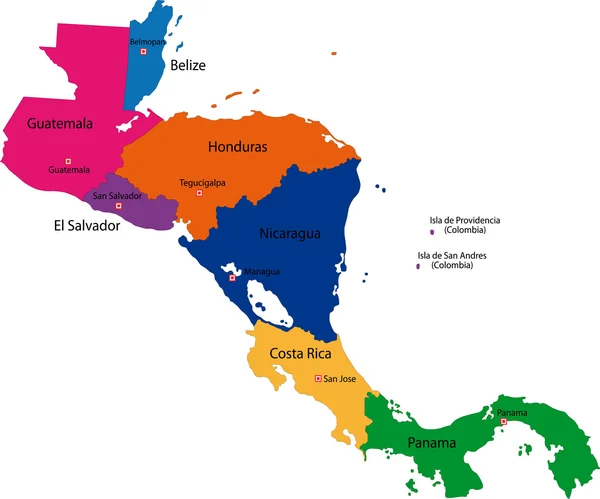


Central America Map, Separate States Whit Names, Blue Background Vector
Vector, 1.27MB, 5561 × 4000 eps


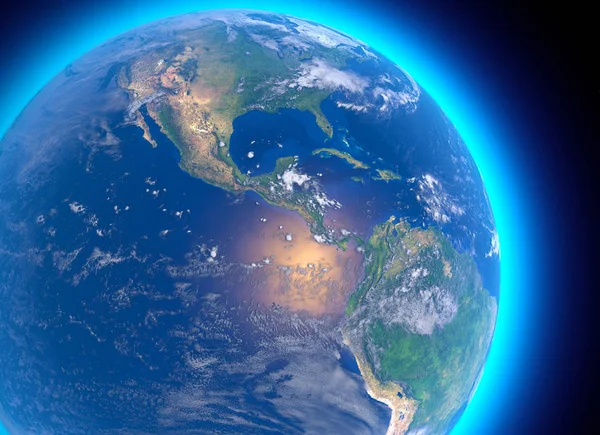
Physical Map Of The World, Satellite View Of Central America. Globe. Hemisphere. Reliefs And Oceans. 3d Rendering. Elements Of This Image Are Furnished By NASA
Image, 11.58MB, 5511 × 4000 jpg
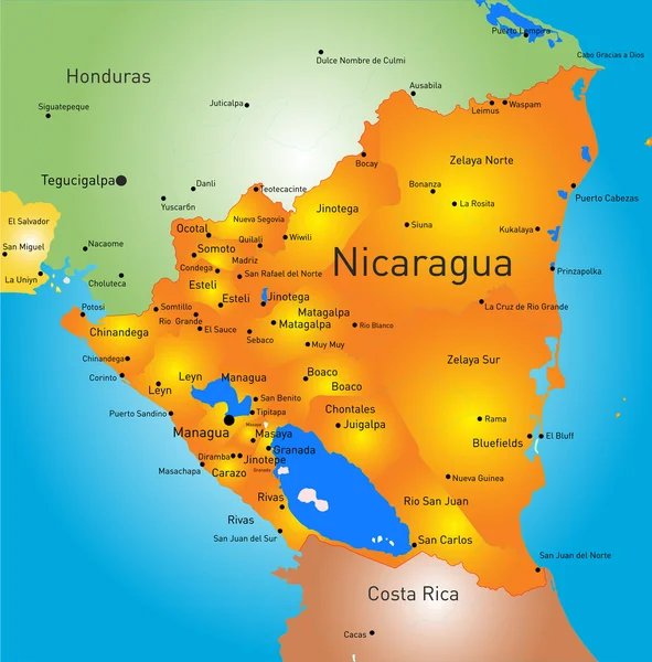
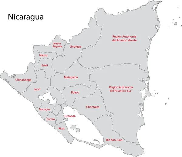
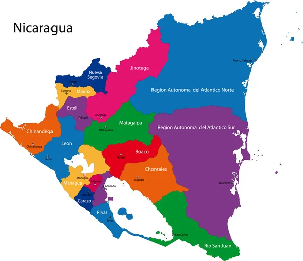
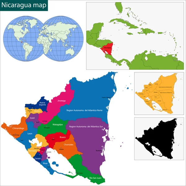
Nicaragua Vector Maps With Administrative Regions, Municipalities, Departments, Borders
Vector, 12.06MB, 11144 × 7319 eps

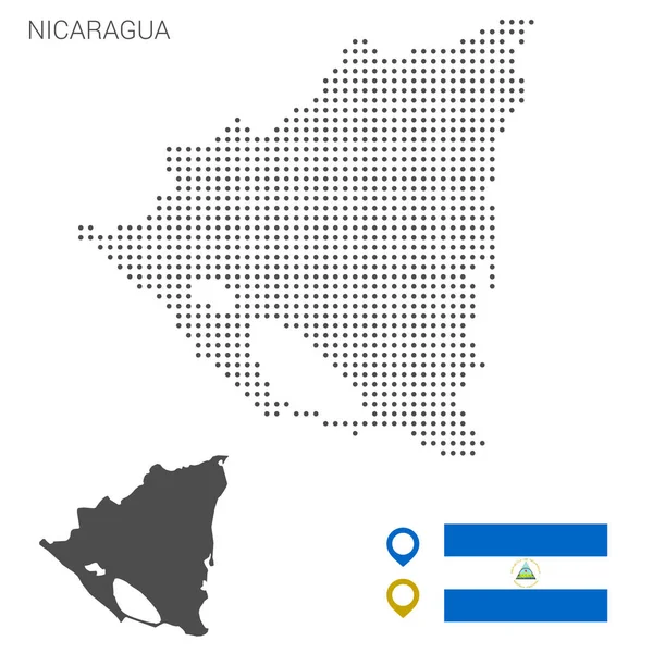
Nicaragua Map Dotted With Flag And Pin. Illustration For Technology Design Or Infographics. Isolated On White Background. Travel Vector Illustration
Vector, 3.3MB, 5669 × 5669 eps

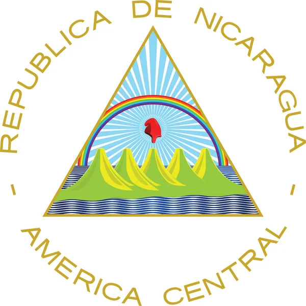
Official Current Vector Coat Of Arms Of Unitary Dominant-party Presidential Constitutional Republic Of Nicaragua
Vector, 0.72MB, 5000 × 5000 eps


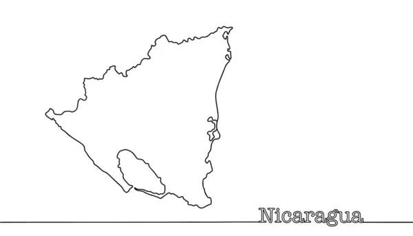
Continuous Line Map Of Nicaragua. The Largest Country In Central America By Area. Black And White Vector Illustration.
Vector, 0.32MB, 5760 × 3297 eps


Previous << Page 2 >> Next