photo free
Home Images Vectors Videos

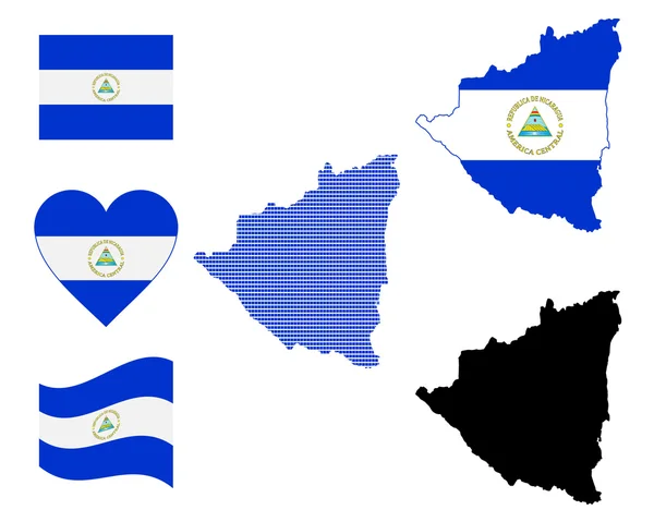
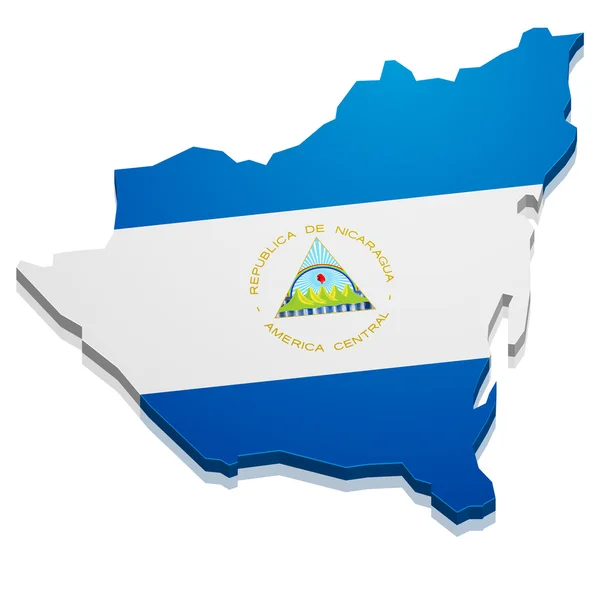
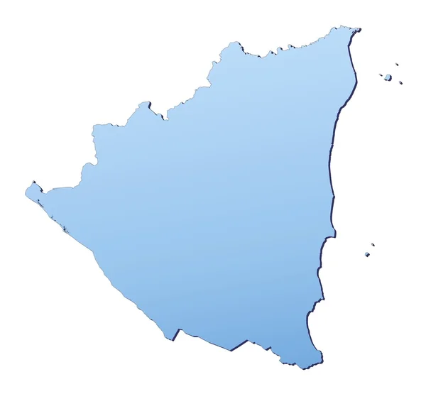
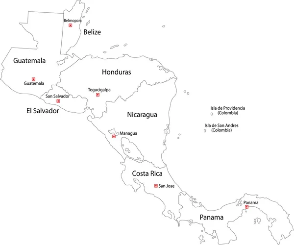
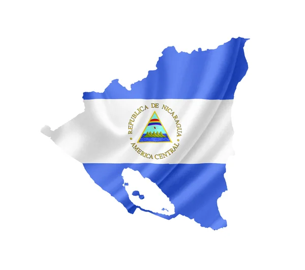
Stock image Nicaragua Outline Map

stock vector Nicaragua outline map set

Nicaragua Outline Map Set

Vector, 3.08MB, 4872 × 4955 eps
stock image Nicaragua flag map. Country outline with national flag

Nicaragua Flag Map. Country Outline With National Flag

Image, 1.49MB, 4000 × 4000 jpg
stock vector nicaragua

Nicaragua

Vector, 2.35MB, 4000 × 4000 eps
stock vector Simple outline map of Nicaragua with national symbols

Simple Outline Map Of Nicaragua With National Symbols

Vector, 2.86MB, 2362 × 2362 eps
stock vector  simple outline map of Central America

Simple Outline Map Of Central America

Vector, 3.26MB, 4134 × 3983 eps
stock vector Nicaragua blank outline map set

Nicaragua Blank Outline Map Set

Vector, 3.47MB, 6000 × 3000 eps
stock vector Nicaragua blank outline map design

Nicaragua Blank Outline Map Design

Vector, 0.78MB, 4000 × 4800 eps
stock vector Nicaragua

Nicaragua

Vector, 0.27MB, 5666 × 2685 eps
stock vector Nicaragua map

Nicaragua Map

Vector, 2.14MB, 5000 × 4000 eps
stock image map Nicaragua. Isolated Illustration. Black on White background.

Map Nicaragua. Isolated Illustration. Black On White Background.

Image, 0.49MB, 5000 × 5000 jpg
stock vector map of South America with flags

Map Of South America With Flags

Vector, 5.4MB, 3726 × 4929 eps
stock vector Flag of Nicaragua

Flag Of Nicaragua

Vector, 7.59MB, 5984 × 5984 eps
stock vector Doodle Map of Nicaragua

Doodle Map Of Nicaragua

Vector, 8.36MB, 5983 × 5983 eps
stock vector Political map of Americas in grey on white background. North and South America with country labels. Simple flat vector illustration

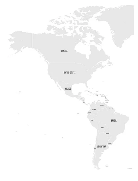
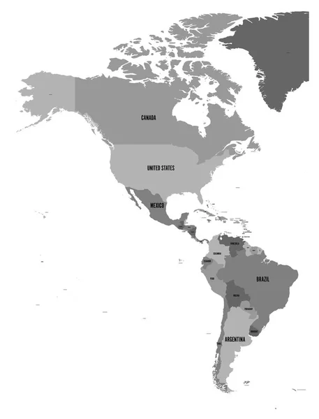
Political Map Of Americas In Grey On White Background. North And South America With Country Labels. Simple Flat Vector Illustration

Vector, 2.36MB, 6000 × 7876 eps
stock image Map of the world with a selected country of Nicaragua

Map Of The World With A Selected Country Of Nicaragua

Image, 1.07MB, 4167 × 2778 jpg
stock vector Political map of Americas in four shades of turquoise blue on white background. North and South America with country labels. Simple flat vector illustration

Political Map Of Americas In Four Shades Of Turquoise Blue On White Background. North And South America With Country Labels. Simple Flat Vector Illustration

Vector, 1.69MB, 4572 × 6001 eps
stock vector Political map of Americas in four shades of blue on white background. North and South America with country labels. Simple flat vector illustration

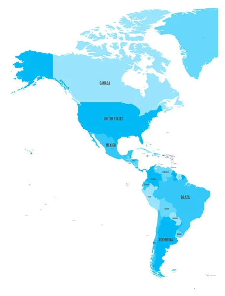
Political Map Of Americas In Four Shades Of Blue On White Background. North And South America With Country Labels. Simple Flat Vector Illustration

Vector, 1.9MB, 6000 × 7876 eps
stock vector Central America and Carribean states political map. Black outline borders. Simple flat vector illustration

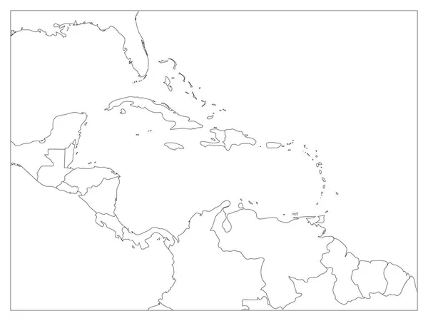
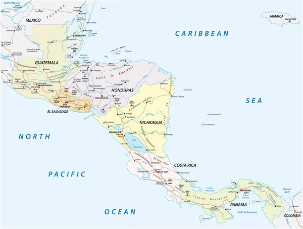
Central America And Carribean States Political Map. Black Outline Borders. Simple Flat Vector Illustration

Vector, 1.73MB, 8000 × 6000 eps
stock vector Central America polygonal outline vector maps

Central America Polygonal Outline Vector Maps

Vector, 0.13MB, 6667 × 5000 eps
stock vector Political map of Americas in four shades of green on white background. North and South America with country labels. Simple flat vector illustration

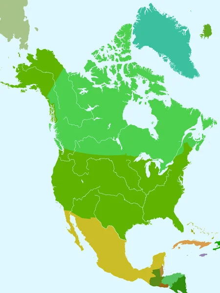
Political Map Of Americas In Four Shades Of Green On White Background. North And South America With Country Labels. Simple Flat Vector Illustration

Vector, 1.69MB, 4572 × 6001 eps
stock vector Map Nicaragua

Map Nicaragua

Vector, 3.22MB, 5906 × 5906 eps
stock vector Political map of Americas in four colors on dark grey background. North and South America with country labels. Simple flat vector illustration

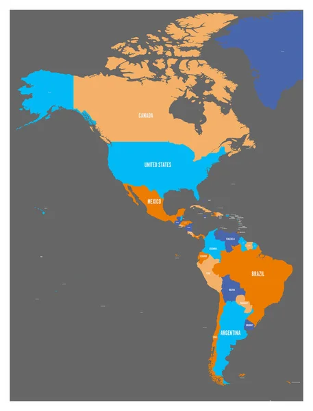
Political Map Of Americas In Four Colors On Dark Grey Background. North And South America With Country Labels. Simple Flat Vector Illustration

Vector, 1.91MB, 6000 × 7876 eps
stock vector Modern of nicaragua Map connections network design, Best Internet Concept of nicaragua map business from concepts series, map point and line composition. Infographic map. Vector Illustration.

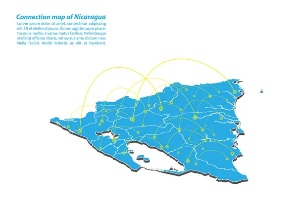
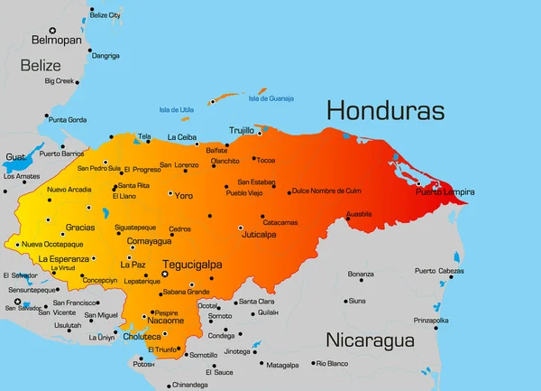
Modern Of Nicaragua Map Connections Network Design, Best Internet Concept Of Nicaragua Map Business From Concepts Series, Map Point And Line Composition. Infographic Map. Vector Illustration.

Vector, 6.28MB, 5000 × 3500 eps
stock vector South America Highly Detailed Map and World Map

South America Highly Detailed Map And World Map

Vector, 10.92MB, 8037 × 8192 eps
stock image Map in 3D illustration

Map In 3D Illustration

Image, 5.62MB, 6000 × 5000 jpg
stock vector Political map of Americas in four shades of grey on white background. North and South America with country labels. Simple flat vector illustration

Political Map Of Americas In Four Shades Of Grey On White Background. North And South America With Country Labels. Simple Flat Vector Illustration

Vector, 1.69MB, 4572 × 6001 eps
stock vector Association of Caribbean States map

Association Of Caribbean States Map

Vector, 3MB, 5370 × 4295 eps
stock vector Political map of Americas in four shades of orange. North and South America with country labels. Simple flat vector illustration

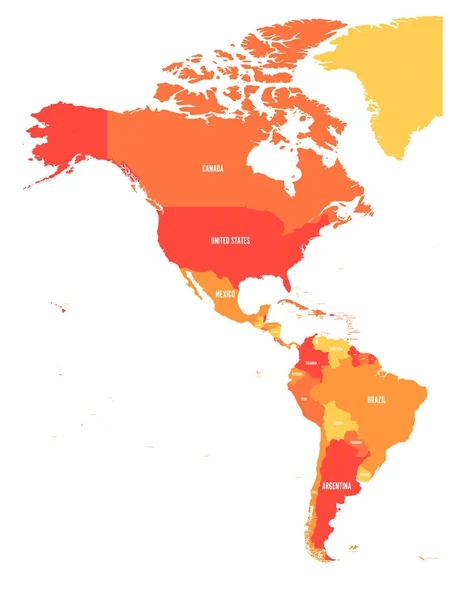
Political Map Of Americas In Four Shades Of Orange. North And South America With Country Labels. Simple Flat Vector Illustration

Vector, 1.7MB, 6000 × 7875 eps
stock vector Central America and Carribean states political map. Black outline borders with black country names labels. Simple flat vector illustration

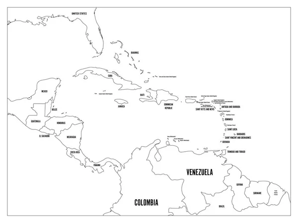
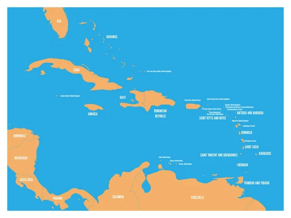
Central America And Carribean States Political Map. Black Outline Borders With Black Country Names Labels. Simple Flat Vector Illustration

Vector, 2.59MB, 8000 × 6000 eps
stock vector Map of Nicaragua

Map Of Nicaragua

Vector, 5.55MB, 5983 × 5983 eps
stock vector nicaragua administrative map with flag

Nicaragua Administrative Map With Flag

Vector, 1.02MB, 3582 × 3100 eps
stock vector Doodle Map of Central America and Mexico

Doodle Map Of Central America And Mexico

Vector, 4.15MB, 6000 × 3002 eps
stock image Nicaragua map

Nicaragua Map

Image, 1.17MB, 3356 × 3106 jpg
stock vector Central America Region. Map of countries in central part of America. Vector illustration

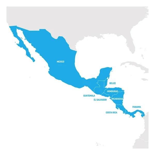
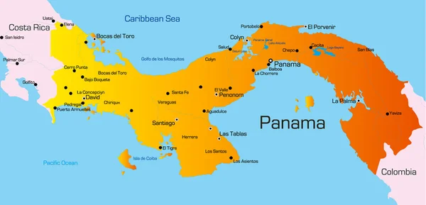
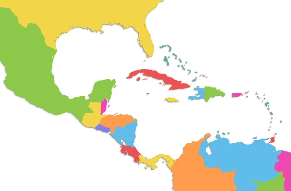
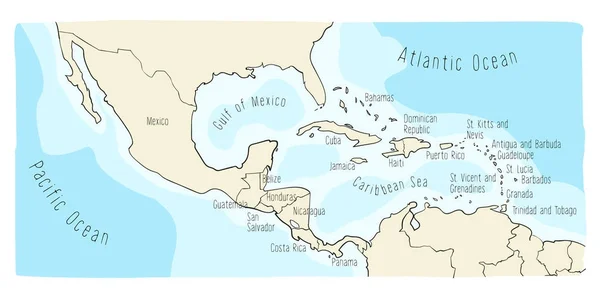
Central America Region. Map Of Countries In Central Part Of America. Vector Illustration

Vector, 1.35MB, 6000 × 6000 eps
stock vector Central America and Carribean states political map. Yellow land with black country names labels on blue sea background. Simple flat vector illustration

Central America And Carribean States Political Map. Yellow Land With Black Country Names Labels On Blue Sea Background. Simple Flat Vector Illustration

Vector, 1.2MB, 6000 × 4500 eps
stock vector Panama

Panama

Vector, 1.02MB, 6452 × 3115 eps
stock vector Contour Central America map

Contour Central America Map

Vector, 2.93MB, 6005 × 5005 eps
stock vector vector road map of the states of central america.

Vector Road Map Of The States Of Central America.

Vector, 2.16MB, 4104 × 3100 eps
stock vector North America countries

North America Countries

Vector, 1.58MB, 3543 × 4724 eps
stock image Caribbean islands Central America map, new political detailed map, separate individual states, isolated on white background 3D raster

Caribbean Islands Central America Map, New Political Detailed Map, Separate Individual States, Isolated On White Background 3D Raster

Image, 1.03MB, 5011 × 3300 jpg
stock image Map of Nicaragua isolated

Map Of Nicaragua Isolated

Image, 3.29MB, 3216 × 2848 jpg
stock image Vintage map of Nicaragua on grunge paper

Vintage Map Of Nicaragua On Grunge Paper

Image, 9.53MB, 3216 × 2848 jpg
stock image Map of Nicaragua with waving flag isolated on white

Map Of Nicaragua With Waving Flag Isolated On White

Image, 1.35MB, 3216 × 2848 jpg
stock vector Nicaragua vector map with infographic elements, pointer marks. Editable template with regions, cities and capital Managua.

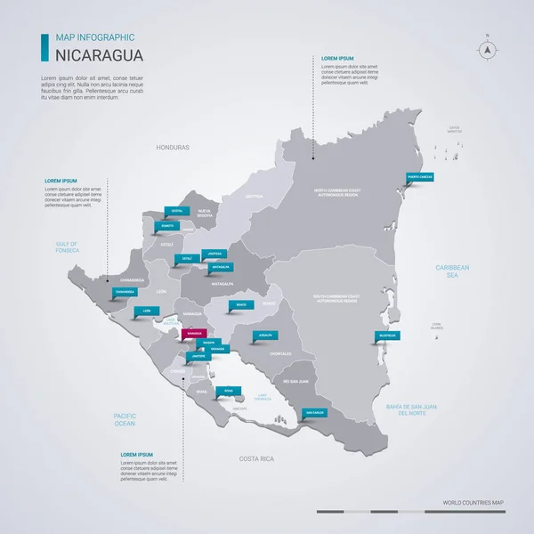
Nicaragua Vector Map With Infographic Elements, Pointer Marks. Editable Template With Regions, Cities And Capital Managua.

Vector, 2.74MB, 4000 × 4000 eps
stock vector Honduras

Honduras

Vector, 1.23MB, 5020 × 3626 eps
stock image Colorful North America map

Colorful North America Map

Image, 2.45MB, 2400 × 3200 jpg
stock vector Chinandega Department (Republic of Nicaragua, Departments of Nicaragua) map vector illustration, scribble sketch Chinandega (NI-CI) ma

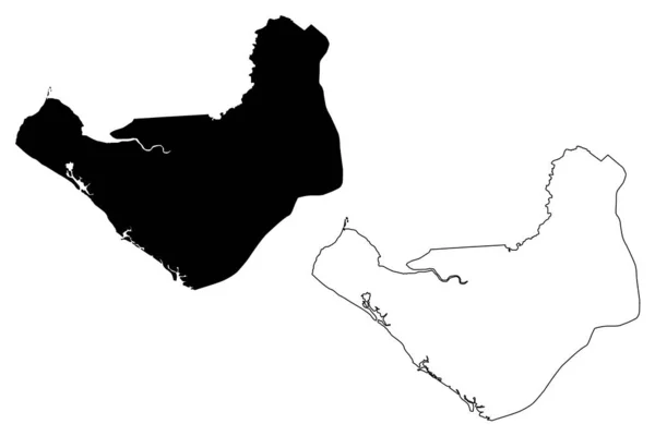
Chinandega Department (Republic Of Nicaragua, Departments Of Nicaragua) Map Vector Illustration, Scribble Sketch Chinandega (NI-CI) Ma

Vector, 0.63MB, 7087 × 4726 eps
stock vector Outline map of North America. vector illustration.

Outline Map Of North America. Vector Illustration.

Vector, 1.09MB, 5000 × 5000 eps
stock vector Continent map Southern America vector illustration with wild animals. Travel destination for tourist. Wildlife exotic attraction jaguar, chinchilla, cayman, capybara, lama, anteater, macaw parrot.

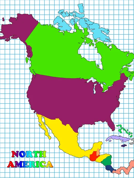
Continent Map Southern America Vector Illustration With Wild Animals. Travel Destination For Tourist. Wildlife Exotic Attraction Jaguar, Chinchilla, Cayman, Capybara, Lama, Anteater, Macaw Parrot.

Vector, 8.89MB, 4464 × 5585 eps
stock vector Doodle Map of Central America and Mexico

Doodle Map Of Central America And Mexico

Vector, 4.12MB, 6000 × 3002 eps
Page 1 >> Next