
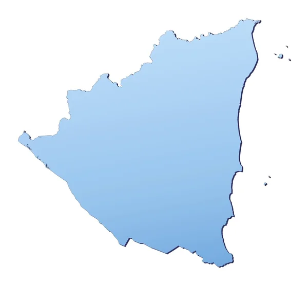
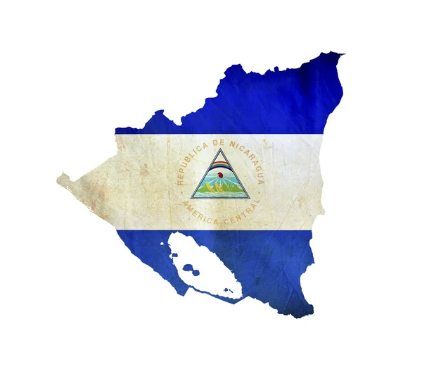
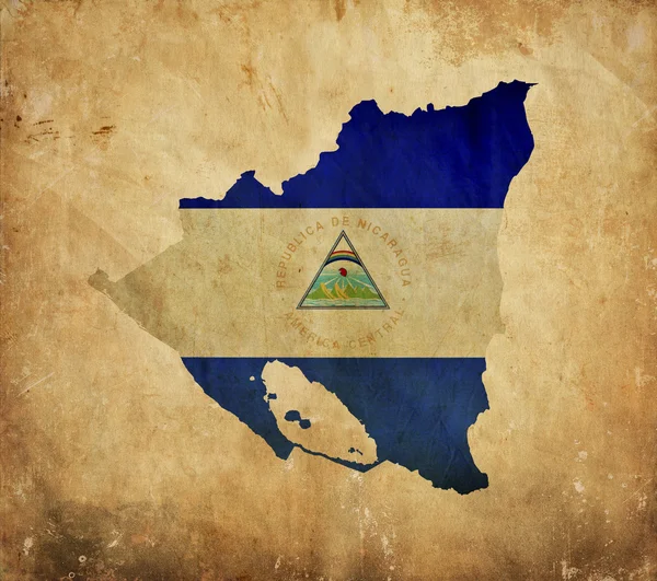
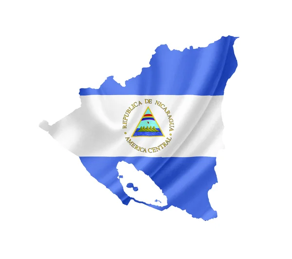
Stock image Nicaragua Outline Map page 2
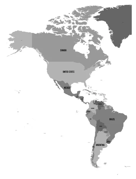
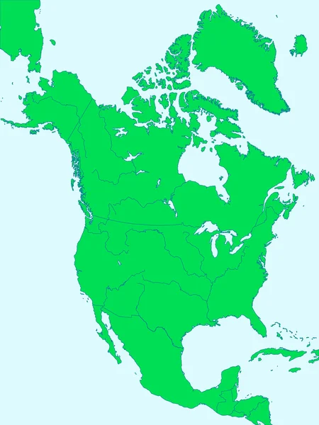
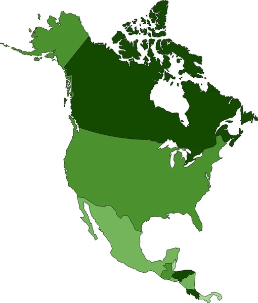
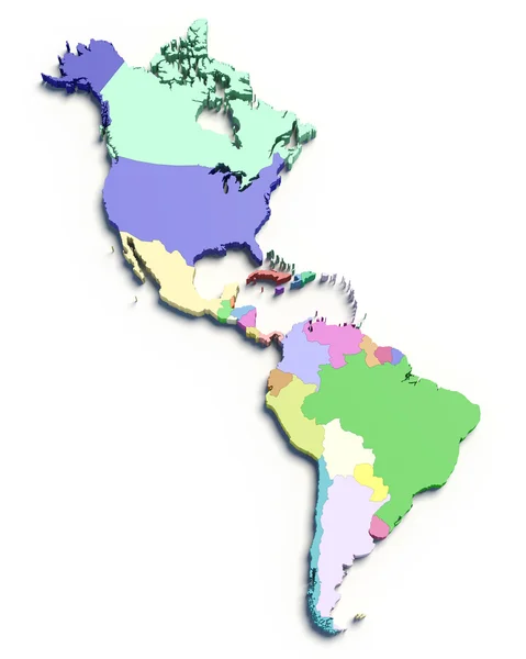
Political Map Of Americas In Four Shades Of Grey On White Background. North And South America With Country Labels. Simple Flat Vector Illustration
Vector, 1.69MB, 4572 × 6001 eps

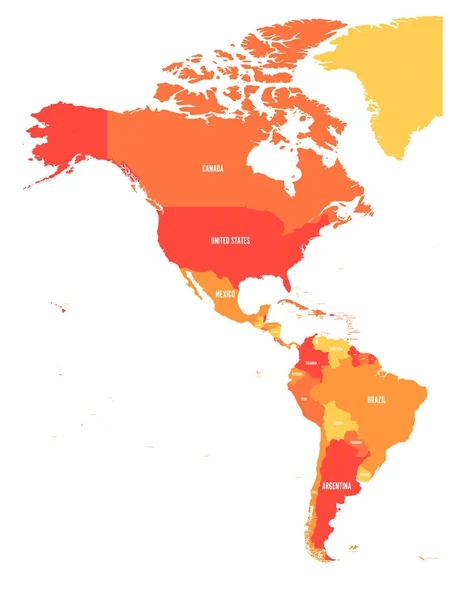
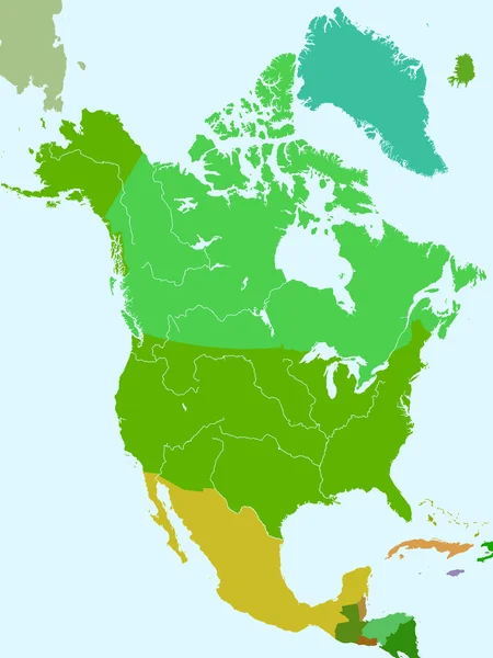
Political Map Of Americas In Four Shades Of Orange. North And South America With Country Labels. Simple Flat Vector Illustration
Vector, 1.7MB, 6000 × 7875 eps
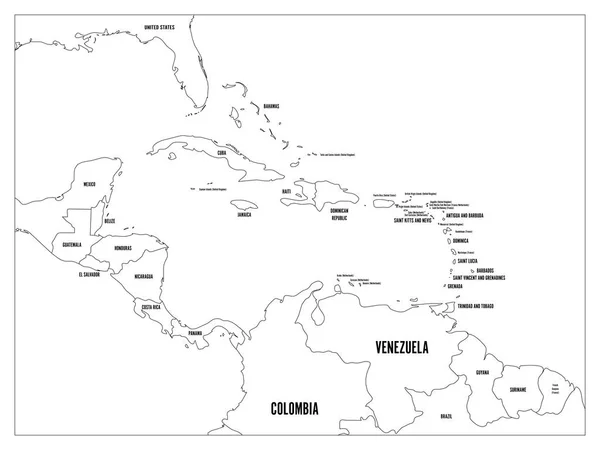
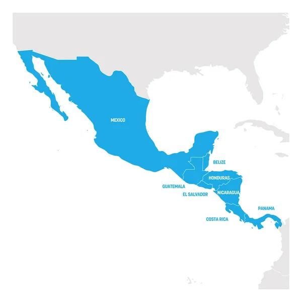
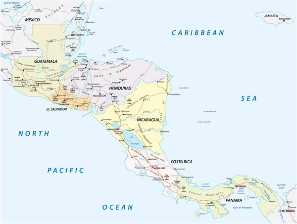
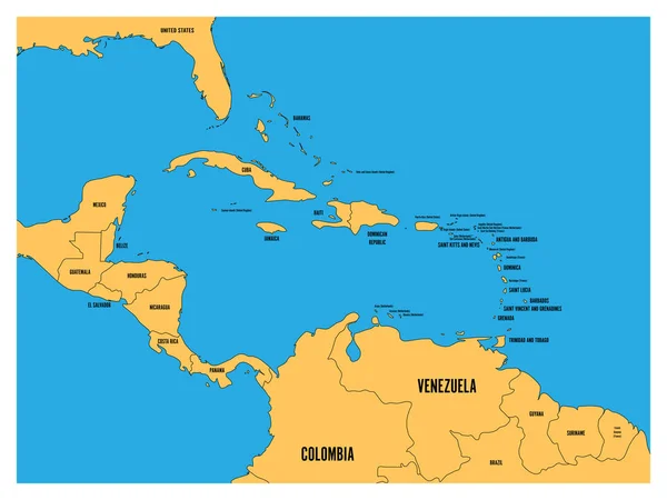
Central America And Carribean States Political Map. Black Outline Borders With Black Country Names Labels. Simple Flat Vector Illustration
Vector, 2.59MB, 8000 × 6000 eps


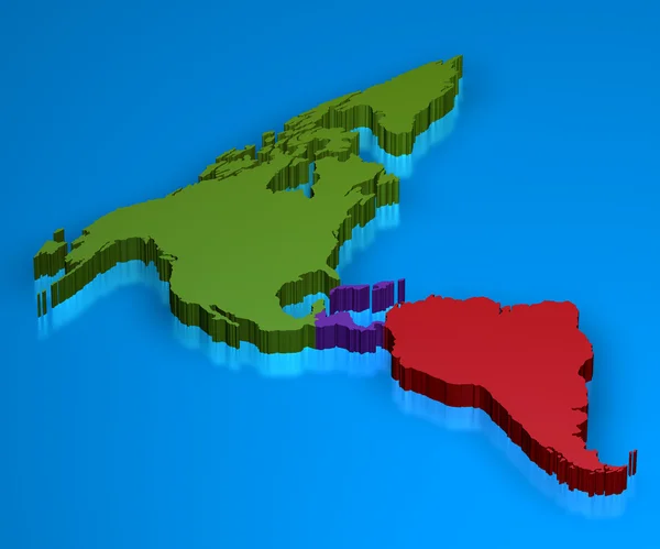
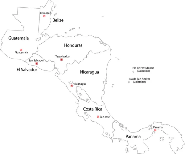
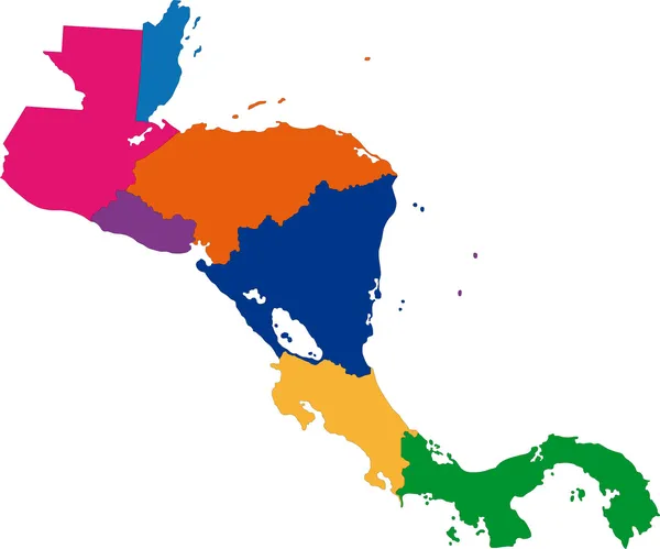
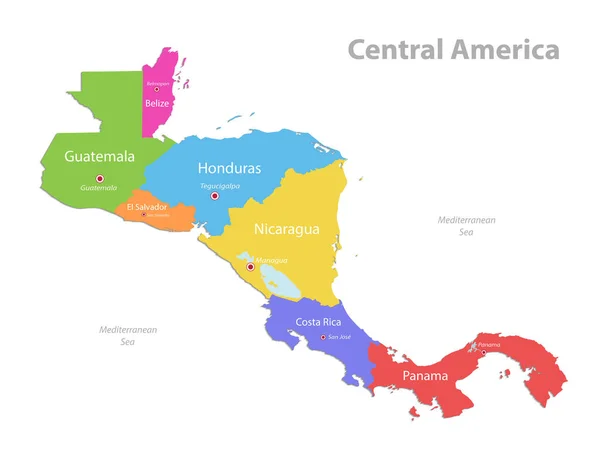
Central America Region. Map Of Countries In Central Part Of America. Vector Illustration
Vector, 1.35MB, 6000 × 6000 eps
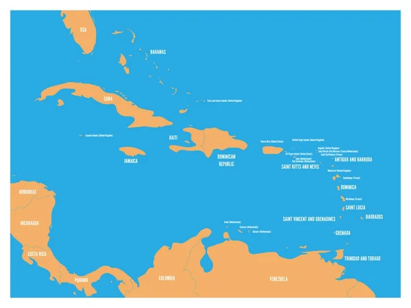
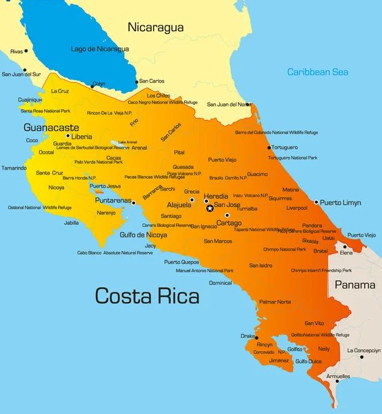
Central America And Carribean States Political Map. Yellow Land With Black Country Names Labels On Blue Sea Background. Simple Flat Vector Illustration
Vector, 1.2MB, 6000 × 4500 eps
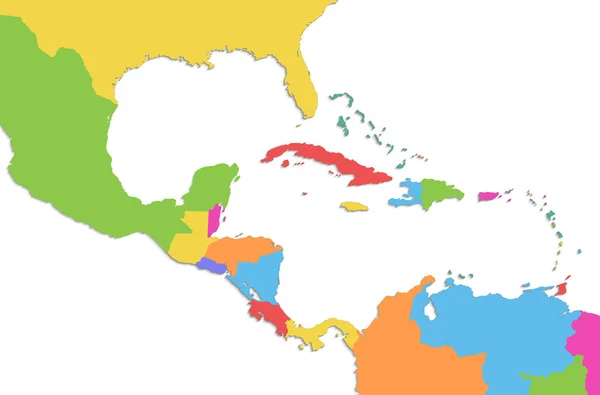
Caribbean Islands Central America Map, New Political Detailed Map, Separate Individual States, Isolated On White Background 3D Raster
Image, 1.03MB, 5011 × 3300 jpg
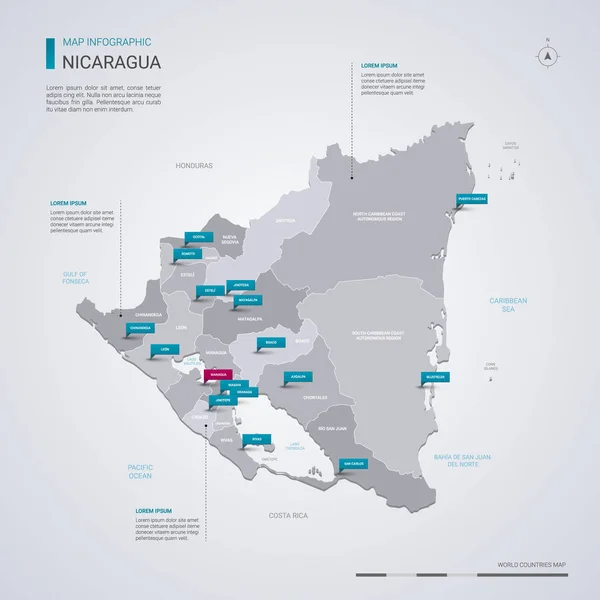
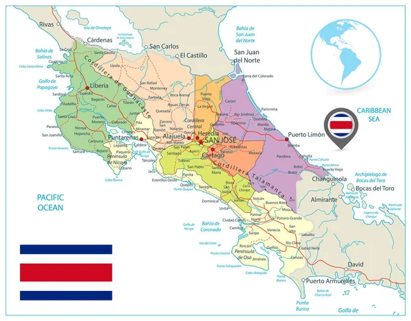
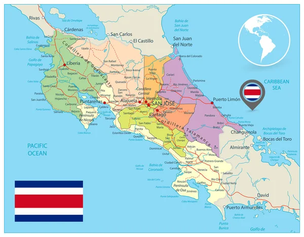
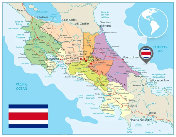
Nicaragua Vector Map With Infographic Elements, Pointer Marks. Editable Template With Regions, Cities And Capital Managua.
Vector, 2.74MB, 4000 × 4000 eps
Chinandega Department (Republic Of Nicaragua, Departments Of Nicaragua) Map Vector Illustration, Scribble Sketch Chinandega (NI-CI) Ma
Vector, 0.63MB, 7087 × 4726 eps


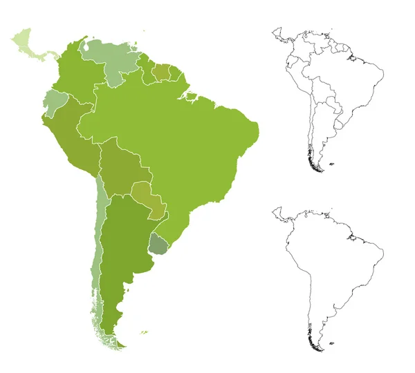
Continent Map Southern America Vector Illustration With Wild Animals. Travel Destination For Tourist. Wildlife Exotic Attraction Jaguar, Chinchilla, Cayman, Capybara, Lama, Anteater, Macaw Parrot.
Vector, 8.89MB, 4464 × 5585 eps
Central America Region. Map Of Countries In Central Part Of America. Vector Illustration
Vector, 1.2MB, 6000 × 6000 eps

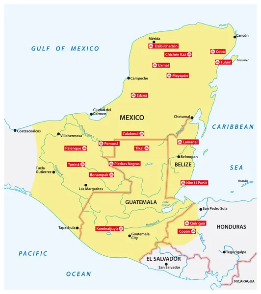
Map Of The Mayan Empire With The Most Important Cities In Central America
Vector, 1.37MB, 3100 × 3497 eps
Central America And Carribean States Political Map. Yellow Land With Black Country Names Labels On Blue Sea Background. Simple Flat Vector Illustration
Vector, 2.62MB, 8000 × 6000 eps


Physical Map Of The World, Satellite View Of Central America. Globe. Hemisphere. Reliefs And Oceans. 3d Rendering. Elements Of This Image Are Furnished By NASA
Image, 8.99MB, 5511 × 4000 jpg

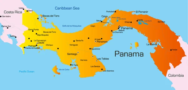
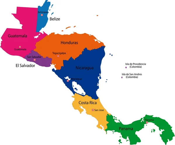
Central America Map, Separate Individual States With State Names, Color Map Isolated On White Background Vector
Vector, 1.5MB, 5198 × 4000 eps
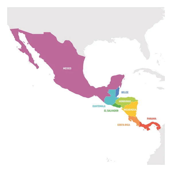
Central America Region. Colorful Map Of Countries In Central Part Of America. Vector Illustration
Vector, 1.38MB, 6000 × 6000 eps
Previous << Page 2 >> Next