
Stock image Ohio Administrative
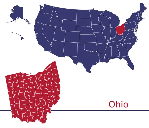
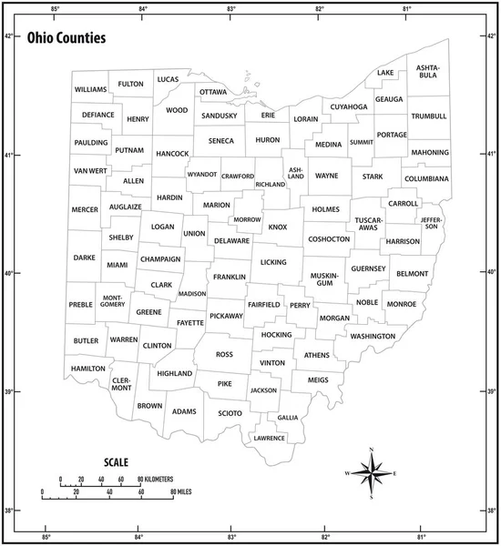
Ohio Vector Maps Counties, Townships, Regions, Municipalities, Departments, Borders
Vector, 5.36MB, 4736 × 4071 eps
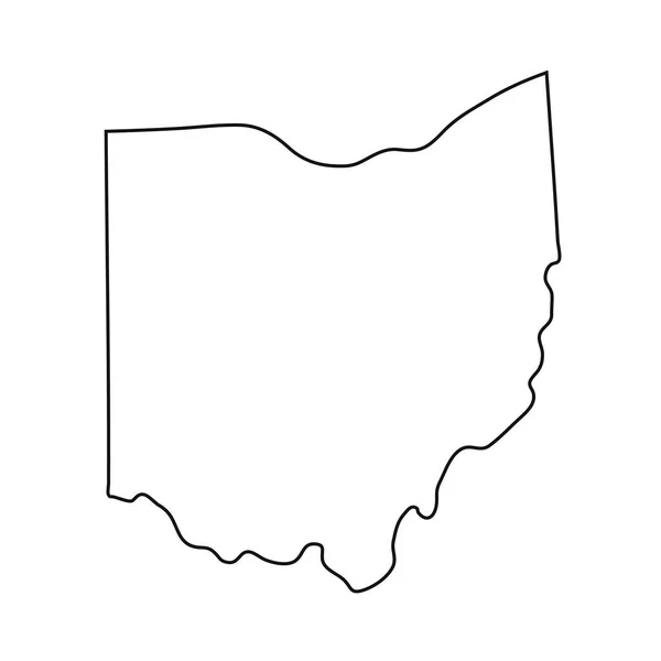
Vector Ohio Map Silhouette. Isolated Vector Illustration. Black On White Background.
Vector, 1.48MB, 6325 × 3953 eps

Desaturated Shape Of Mainland United States With Its Capital, Main Regional Division And The Separated Ohio Area. Labels. Colored Elevation Map. 3D Rendering
Image, 1MB, 2880 × 1620 jpg

Flag And Silhouette Of The American State Of Ohio Vector Illustratio
Vector, 5.11MB, 5650 × 7271 eps


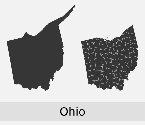
Ohio State Outline Administrative And Political Vector Map In Black And White
Vector, 0.95MB, 3100 × 3651 eps

Ohio State Outline Administrative And Political Vector Map In Black And White
Vector, 0.92MB, 3100 × 3379 eps
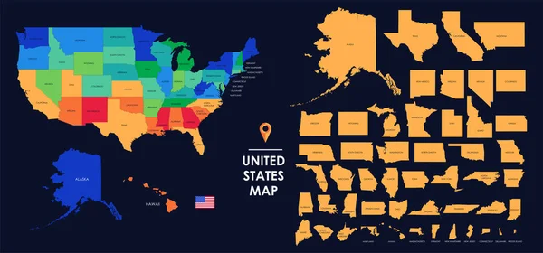
Detailed Map Of The USA, Each State Is Signed And Highlighted, The States Are Located On The Largest Territory, Colorful Infographic Of The United States Of America, Vector Illustration
Vector, 5.89MB, 11205 × 5237 eps
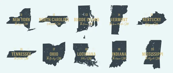
Vector Set 4 Of 10 Highly Detailed Silhouettes Of US State Maps, Divided Into Counties With Names And Territory Nicknames
Vector, 6.15MB, 9585 × 3348 eps


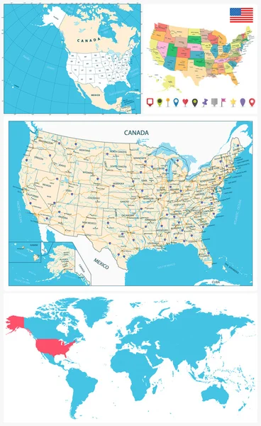
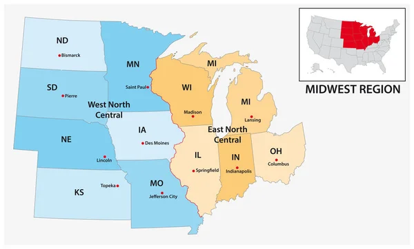
United States Census Bureau Regions And Divisions Vector Map. Flag Of United States Of America
Vector, 6.79MB, 7292 × 3543 eps
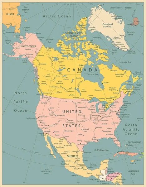
North America Political Map Vintage Colors. Highly Detailed Map. All Elements Are Separated In Editable Layers Clearly Labeled.
Vector, 12.9MB, 3767 × 4826 eps

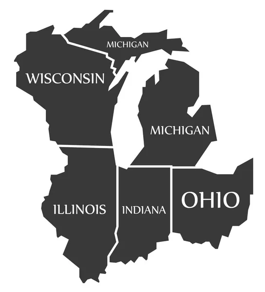
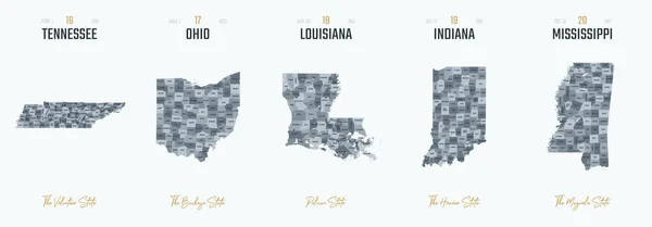
Highly Detailed Vector Silhouettes Of US State Maps, Division United States Into Counties, Political And Geographic Subdivisions Of A States, East North Central - Illinois, Indiana, Ohio - Set 4 Of 17
Vector, 6.95MB, 9608 × 4501 eps
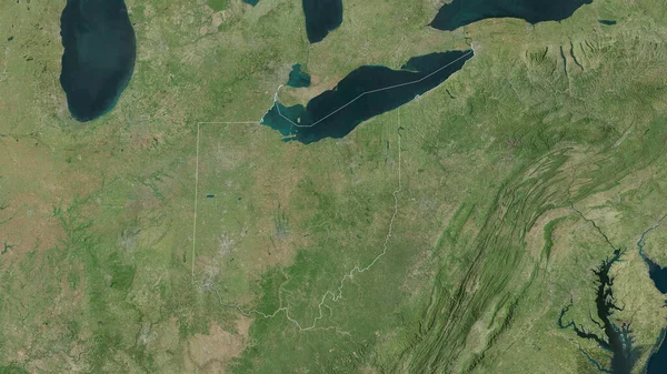
Ohio, State Of United States. Satellite Imagery. Shape Outlined Against Its Country Area. 3D Rendering
Image, 7.55MB, 2880 × 1620 jpg

Map Of Guernsey County In Ohio State On White Background. Single County Map Highlighted By Black Colour On Ohio Map. UNITED STATES, US
Image, 5.59MB, 8000 × 8000 jpg

Map Of Fairfield County In Ohio State On White Background. Single County Map Highlighted By Black Colour On Ohio Map. UNITED STATES, US
Image, 5.59MB, 8000 × 8000 jpg

Map Of Wyandot County In Ohio State On White Background. Single County Map Highlighted By Black Colour On Ohio Map. UNITED STATES, US
Image, 5.59MB, 8000 × 8000 jpg


Map Of Highland County In Ohio State On White Background. Single County Map Highlighted By Black Colour On Ohio Map. UNITED STATES, US
Image, 5.59MB, 8000 × 8000 jpg

Map Of Tuscarawas County In Ohio State On White Background. Single County Map Highlighted By Black Colour On Ohio Map. UNITED STATES, US
Image, 5.59MB, 8000 × 8000 jpg

Map Of Summit County In Ohio State On White Background. Single County Map Highlighted By Black Colour On Ohio Map. UNITED STATES, US
Image, 5.59MB, 8000 × 8000 jpg

Map Of Geauga County In Ohio State On White Background. Single County Map Highlighted By Black Colour On Ohio Map. UNITED STATES, US
Image, 5.59MB, 8000 × 8000 jpg

Map Of Crawford County In Ohio State On White Background. Single County Map Highlighted By Black Colour On Ohio Map. UNITED STATES, US
Image, 5.59MB, 8000 × 8000 jpg

Map Of Monroe County In Ohio State On White Background. Single County Map Highlighted By Black Colour On Ohio Map. UNITED STATES, US
Image, 5.59MB, 8000 × 8000 jpg

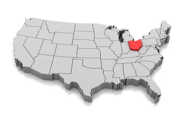
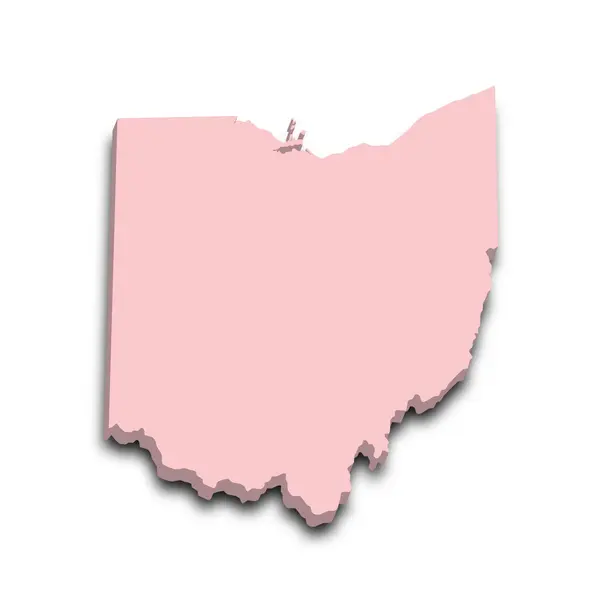
3d Map Of Ohio State With Color. United State Of America, US, United State.
Image, 7.98MB, 8000 × 8000 jpg

3d Map Of Ohio State With Color. United State Of America, US, United State.
Image, 10.51MB, 8000 × 8000 jpg

Map Of Shelby County In Ohio State On White Background. Single County Map Highlighted By Black Colour On Ohio Map. UNITED STATES, US
Image, 5.59MB, 8000 × 8000 jpg

Map Of Portage County In Ohio State On White Background. Single County Map Highlighted By Black Colour On Ohio Map. UNITED STATES, US
Image, 5.59MB, 8000 × 8000 jpg

3d Map Of Ohio State With Color. United State Of America, US, United State.
Image, 7.87MB, 8000 × 8000 jpg

3d Map Of Ohio State With Color. United State Of America, US, United State.
Image, 9.82MB, 8000 × 8000 jpg

Map Of Knox County In Ohio State On White Background. Single County Map Highlighted By Black Colour On Ohio Map. UNITED STATES, US
Image, 5.59MB, 8000 × 8000 jpg

Map Of Morgan County In Ohio State On White Background. Single County Map Highlighted By Black Colour On Ohio Map. UNITED STATES, US
Image, 5.59MB, 8000 × 8000 jpg

Map Of Clark County In Ohio State On White Background. Single County Map Highlighted By Black Colour On Ohio Map. UNITED STATES, US
Image, 5.59MB, 8000 × 8000 jpg

3d Map Of Ohio State With Color. United State Of America, US, United State.
Image, 9.24MB, 8000 × 8000 jpg
3d Map Of Ohio State With Color. United State Of America, US, United State.
Image, 9.23MB, 8000 × 8000 jpg

3d Map Of Ohio State With Color. United State Of America, US, United State.
Image, 8.67MB, 8000 × 8000 jpg

Map Of Meigs County In Ohio State On White Background. Single County Map Highlighted By Black Colour On Ohio Map. UNITED STATES, US
Image, 5.59MB, 8000 × 8000 jpg

Map Of Carroll County In Ohio State On White Background. Single County Map Highlighted By Black Colour On Ohio Map. UNITED STATES, US
Image, 5.59MB, 8000 × 8000 jpg

Symbol Map Of The State Ohio (United States Of America) Showing The Outline Of The State As An Asphalt Surface
Image, 23.4MB, 5101 × 6000 jpg

Ohio, U.S. State, Subdivided Into 88 Counties, Multi Colored Political Map With Capital Columbus, Borders And County Names. State In The Midwestern Region Of USA. Buckeye State, And Heart Of It All.
Vector, 2.3MB, 6000 × 6525 eps

Map Of Fulton County In Ohio State On White Background. Single County Map Highlighted By Black Colour On Ohio Map. UNITED STATES, US
Image, 5.59MB, 8000 × 8000 jpg
Page 1 >> Next