
Stock image Azimuthal Equidistant Projection
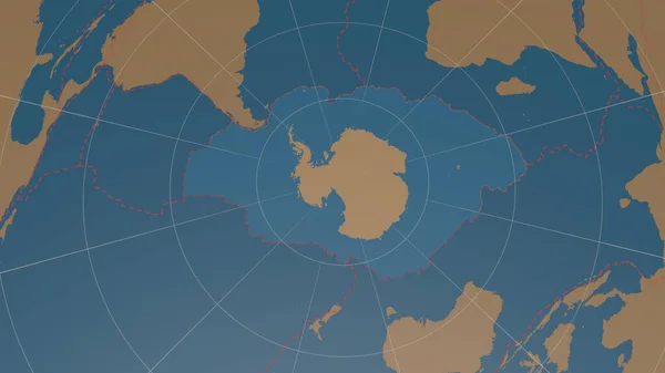
Antarctic Tectonic Plate Overview The Global Shapes Only - Land/ocean Mask In The Azimuthal Equidistant Projection With Dashed Plates Borders. 3D Rendering
Image, 1.56MB, 2880 × 1620 jpg
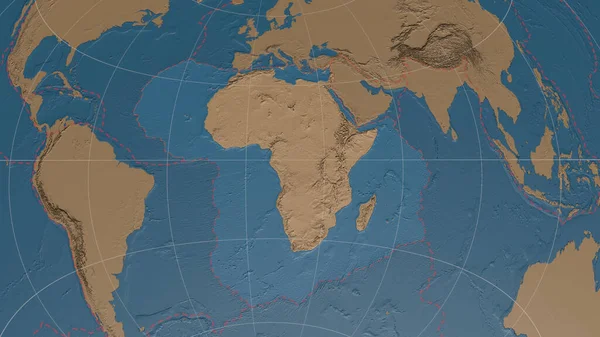
Africann Tectonic Plate Overview The Global Grayscale Elevation Map In The Azimuthal Equidistant Projection With Dashed Plates Borders. 3D Rendering
Image, 3.52MB, 2880 × 1620 jpg

South American Tectonic Plate Enlarged And Extruded The Global Grayscale Elevation Map In The Azimuthal Equidistant Projection With Dashed Plates Borders. 3D Rendering
Image, 2.87MB, 2880 × 1620 jpg

North American Tectonic Plate Enlarged, Extruded And Rotated To The West Side The Global Shapes Only - Land/ocean Mask In The Azimuthal Equidistant Projection With Dashed Plates Borders. 3D Rendering
Image, 1.74MB, 2880 × 1620 jpg
Arabiann Tectonic Plate Overview The Global Grayscale Elevation Map In The Azimuthal Equidistant Projection With Dashed Plates Borders. 3D Rendering
Image, 3.32MB, 2880 × 1620 jpg

Relief Map Of The Area Around The Molucca Sea Tectonic Plate. 3D Rendering
Image, 4.05MB, 2880 × 1620 jpg
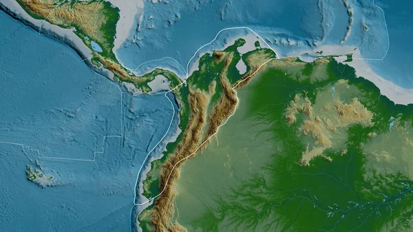
Outline Of The North Andes Tectonic Plate With The Borders Of Surrounding Plates Against The Background Of A Physical Map. 3D Rendering
Image, 4.76MB, 2880 × 1620 jpg

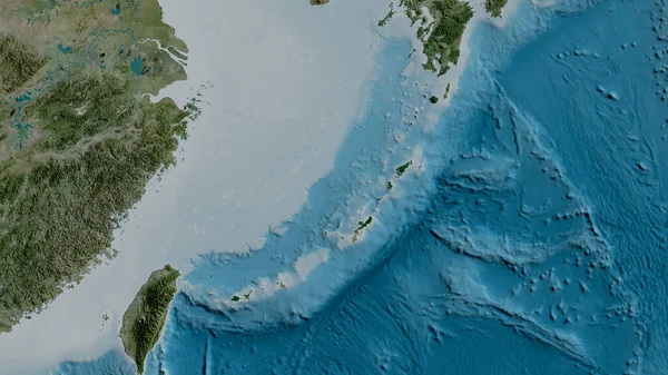
Satellite Map Of The Area Around The Okinawa Tectonic Plate. 3D Rendering
Image, 4.05MB, 2880 × 1620 jpg
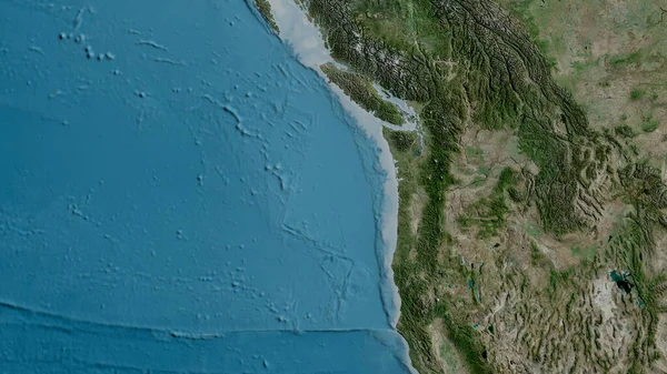
Satellite Map Of The Area Around The Juan De Fuca Tectonic Plate. 3D Rendering
Image, 5.02MB, 2880 × 1620 jpg
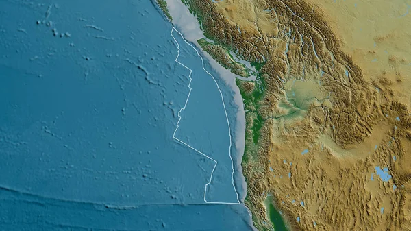
Outline Of The Juan De Fuca Tectonic Plate With The Borders Of Surrounding Plates Against The Background Of A Physical Map. 3D Rendering
Image, 4.92MB, 2880 × 1620 jpg

Outline Of The Burma Tectonic Plate With The Borders Of Surrounding Plates Against The Background Of A Satellite Map. 3D Rendering
Image, 3.58MB, 2880 × 1620 jpg
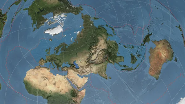
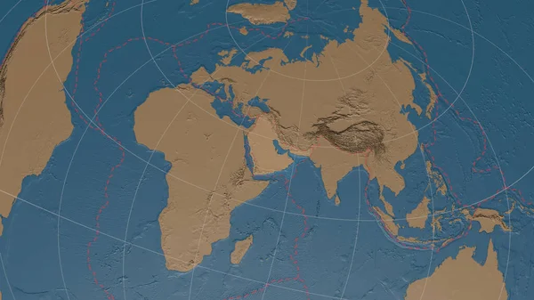
Eurasiann Tectonic Plate Overview The Global Satellite Imagery In The Azimuthal Equidistant Projection With Dashed Plates Borders. 3D Rendering
Image, 4.4MB, 2880 × 1620 jpg

Outline Of The Amur Tectonic Plate With The Borders Of Surrounding Plates Against The Background Of A Pattern Map. 3D Rendering
Image, 4.78MB, 2880 × 1620 jpg
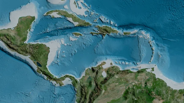
Satellite Map Of The Area Around The Caribbean Tectonic Plate. 3D Rendering
Image, 4.64MB, 2880 × 1620 jpg
Page 1 >> Next