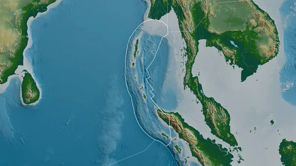
Stock image Outline of the Burma tectonic plate with the borders of surrounding plates against the background of a satellite map. 3D rendering

Published: Jun.19, 2020 09:47:41
Author: Yarr65
Views: 38
Downloads: 1
File type: image / jpg
File size: 3.58 MB
Orginal size: 2880 x 1620 px
Available sizes:
Level: bronze
Similar stock images


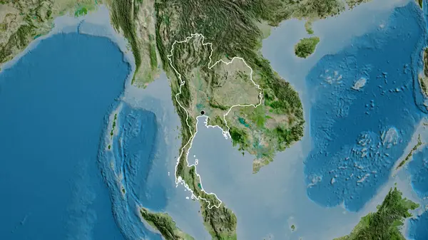
Close-up Of The Thailand Border Area On A Satellite Map. Capital Point. Glow Around The Country Shape.
3840 × 2160

Myanmar Area On The Satellite D Map In The Stereographic Projection - Raw Composition Of Raster Layers
2880 × 1620