Home
Images
Vectors
Videos
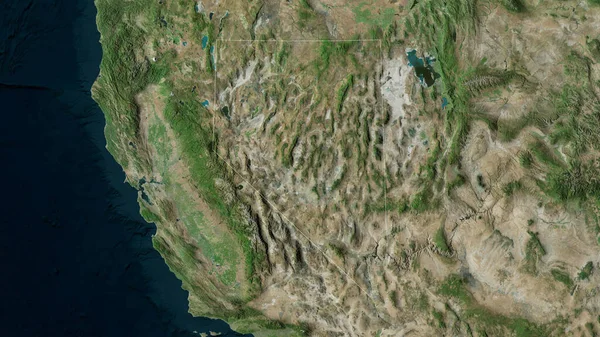
Stock image Satellite map of the area around the Juan De Fuca tectonic plate. 3D rendering
Published:
Jun.19, 2020 09:49:44
Author:
Yarr65
Views:
9
Downloads:
2
File type:
image
/
jpg
File size:
5.02 MB
Orginal size:
2880
x
1620
px
Available sizes:
S
(500 x 281)
M
(1000 x 563)
L
(2000 x 1125)
XL
(2880 x 1620)
EL0
(2880 x 1620)
Level:
bronze
Download Image
Image topics:
Nature
Education
Earth
Science
Globe
Raster
Imagery
Elevation
Ridge
Continent
Core
Projection
Volcano
Satellite
Continents
Magma
Mantle
Earthquake
Nasa
Rift
Seismic
Convection
Geophysics
Lithosphere
Ring Of Fire
Seismic Activity
Juan De Fuca
Wegener
Tectonic Plate
Azimuthal Equidistant Projection
Continental Drift
Subduction Zone
Supercontinents
Similar stock images
Outline Of The Juan De Fuca Tectonic Plate With The Borders Of Surrounding Plates Against The Background Of A Satellite Map. 3D Rendering
2880 × 1620
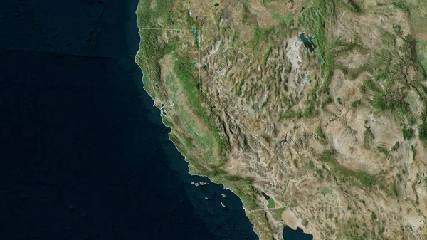
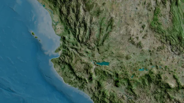
California, State Of United States. Satellite Imagery. Shape Outlined Against Its Country Area. 3D Rendering
2880 × 1620
Nevada, State Of United States. Satellite Imagery. Shape Outlined Against Its Country Area. 3D Rendering
2880 × 1620
Jalisco, State Of Mexico. Satellite Imagery. Shape Outlined Against Its Country Area. 3D Rendering
2880 × 1620
Extended Area Of Angola. Satellite Imagery. 3D Rendering
3000 × 2000
Extended Area Of Outlined Angola. Satellite Imagery. 3D Rendering
3000 × 2000
Close-up Of Asatellite Map Centered On Republic Of The Congo
3840 × 2160
Extended Area Of Angola With Country Outline, International And Regional Borders. Satellite Imagery. 3D Rendering
3000 × 2000