photo free
Home Images Vectors Videos

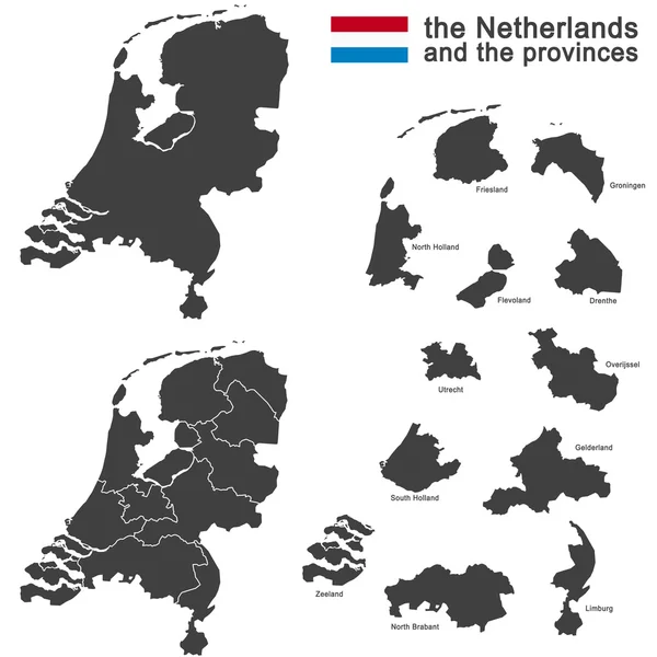
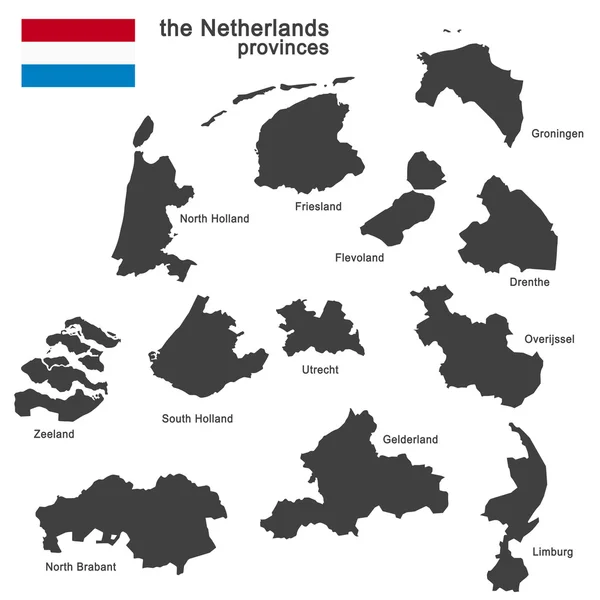
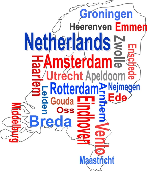
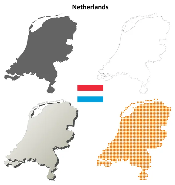
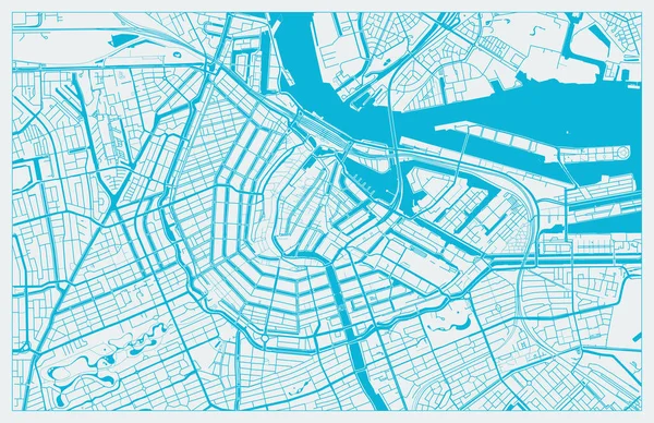
Stock image Holland Map

stock vector Netherlands Symbols Set

Netherlands Symbols Set

Vector, 0.51MB, 4500 × 4500 eps
stock vector Netherlands - map of provinces

Netherlands - Map Of Provinces

Vector, 1.01MB, 6000 × 6000 eps
stock vector the Netherlands and provinces

The Netherlands And Provinces

Vector, 4.08MB, 5079 × 5079 eps
stock vector Illustration map of Holland

Illustration Map Of Holland

Vector, 1.57MB, 2688 × 2800 eps
stock vector Netherlands Travel Concept.

Netherlands Travel Concept.

Vector, 1.67MB, 5000 × 5000 eps
stock vector Netherlands high detailed local municipalities map colored by provinces. All elements are separated in detachable and labeled layers. Vector

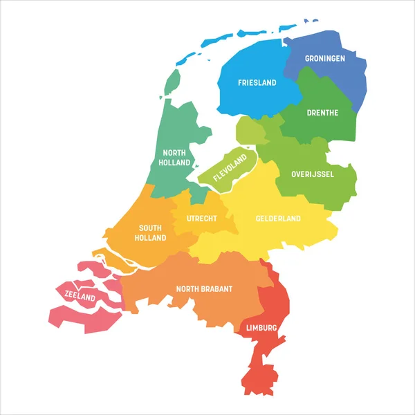
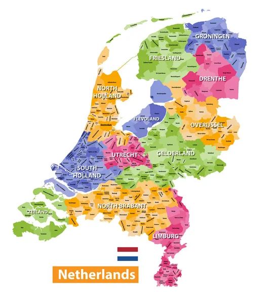
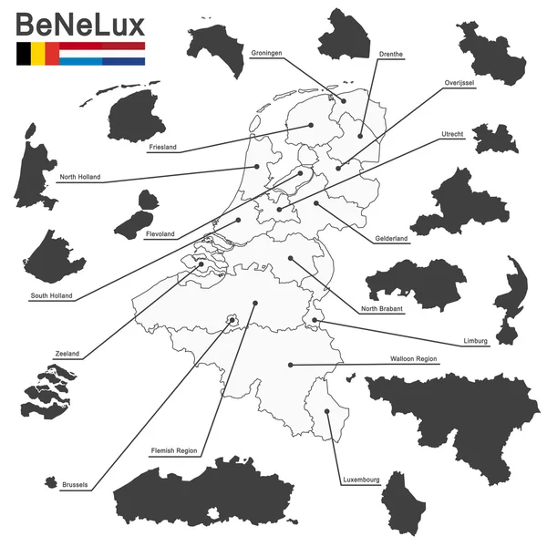
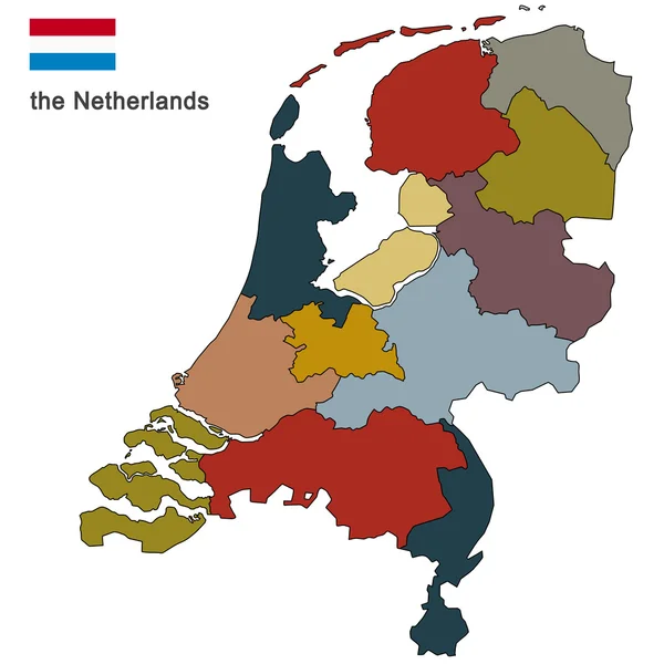
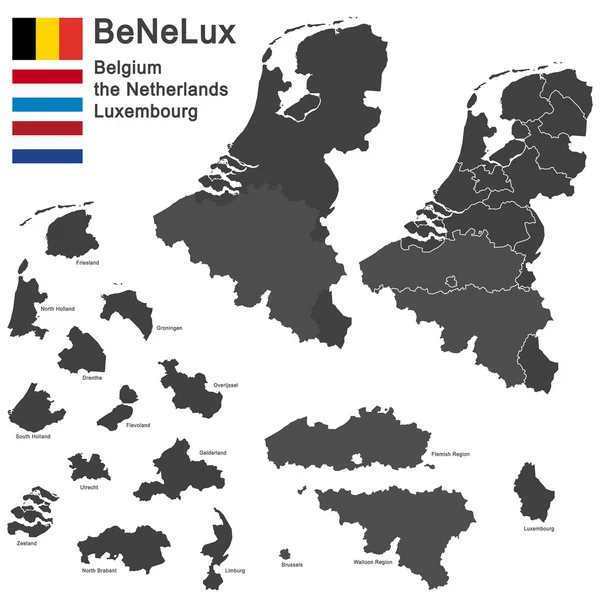
Netherlands High Detailed Local Municipalities Map Colored By Provinces. All Elements Are Separated In Detachable And Labeled Layers. Vector

Vector, 9.61MB, 6537 × 7292 eps
stock vector the Netherlands and provinces

The Netherlands And Provinces

Vector, 0.52MB, 5054 × 5669 eps
stock vector country the Netherlands

Country The Netherlands

Vector, 1.1MB, 5079 × 5079 eps
stock vector Abstract Netherlands map

Abstract Netherlands Map

Vector, 0.8MB, 4267 × 4267 eps
stock vector Netherlands physical map with labeling.

Netherlands Physical Map With Labeling.

Vector, 6.4MB, 4572 × 5670 eps
stock vector Dotted Netherlands map

Dotted Netherlands Map

Vector, 1.15MB, 4242 × 5000 eps
stock vector Amsterdam Holland Map in Retro Style.

Amsterdam Holland Map In Retro Style.

Vector, 1.63MB, 8150 × 4702 eps
stock vector High detailed Europe map with coutries names and region borders

High Detailed Europe Map With Coutries Names And Region Borders

Vector, 14.42MB, 10418 × 8686 eps
stock vector Belgium, the netherlands, luxembourg

Belgium, The Netherlands, Luxembourg

Vector, 1.84MB, 5079 × 5079 eps
stock vector Netherlands Map - Vintage Vector Illustration

Netherlands Map - Vintage Vector Illustration

Vector, 3.42MB, 5500 × 6234 eps
stock vector Netherlands Holland map flag glass water card paper 3D vector

Netherlands Holland Map Flag Glass Water Card Paper 3D Vector

Vector, 5.73MB, 4022 × 4000 eps
stock vector Vector Holland Map

Vector Holland Map

Vector, 2.02MB, 4000 × 4000 eps
stock vector Netherlands Political Map

Netherlands Political Map

Vector, 3.76MB, 6000 × 6868 eps
stock image Silhouette of Holland map with flag

Silhouette Of Holland Map With Flag

Image, 3.24MB, 4925 × 4925 jpg
stock vector country the Netherlands

Country The Netherlands

Vector, 0.88MB, 5079 × 5079 eps
stock vector country the Netherlands

Country The Netherlands

Vector, 0.88MB, 5079 × 5079 eps
stock vector the Netherlands and provinces

The Netherlands And Provinces

Vector, 1.38MB, 5079 × 5079 eps
stock vector Belgium, the netherlands, luxembourg

Belgium, The Netherlands, Luxembourg

Vector, 0.69MB, 4724 × 5906 eps
stock vector Belgium, the netherlands, luxembourg

Belgium, The Netherlands, Luxembourg

Vector, 7.73MB, 5079 × 5079 eps
stock vector country the Netherlands

Country The Netherlands

Vector, 0.75MB, 5079 × 5079 eps
stock vector Netherlands Holland map card paper 3D natural vector

Netherlands Holland Map Card Paper 3D Natural Vector

Vector, 3MB, 4000 × 4022 eps
stock vector BeNeLux countries

BeNeLux Countries

Vector, 1.51MB, 5079 × 5079 eps
stock vector BeNeLux countries

BeNeLux Countries

Vector, 1.2MB, 4724 × 6240 eps
stock vector BeNeLux countries

BeNeLux Countries

Vector, 1.2MB, 4724 × 6240 eps
stock vector Holland map and words cloud with larger cities

Holland Map And Words Cloud With Larger Cities

Vector, 0.73MB, 4207 × 4901 eps
stock vector Netherlands outline map set

Netherlands Outline Map Set

Vector, 2.44MB, 5107 × 5395 eps
stock vector Friesland province (Kingdom of the Netherlands, Holland) map vector illustration, scribble sketch Frisia or Fryslan map

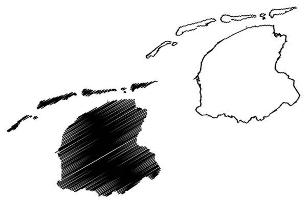
Friesland Province (Kingdom Of The Netherlands, Holland) Map Vector Illustration, Scribble Sketch Frisia Or Fryslan Map

Vector, 0.7MB, 7087 × 4726 eps
stock vector colored silhouettes of the netherlands, Luxembourg and Belgium

Colored Silhouettes Of The Netherlands, Luxembourg And Belgium

Vector, 1.24MB, 7467 × 9862 eps
stock vector Netherlands Holland map blackboard chalkboard vector

Netherlands Holland Map Blackboard Chalkboard Vector

Vector, 7.83MB, 3993 × 4044 eps
stock vector Map of the Netherlands

Map Of The Netherlands

Vector, 0.2MB, 4000 × 5000 eps
stock image Holland map on Euro money background and green arrow rising

Holland Map On Euro Money Background And Green Arrow Rising

Image, 3.21MB, 6000 × 4084 jpg
stock vector Map of the Netherlands

Map Of The Netherlands

Vector, 0.03MB, 4000 × 5000 eps
stock vector Netherlands Heart Concept

Netherlands Heart Concept

Vector, 0.54MB, 4500 × 4500 eps
stock vector Amsterdam colored vector map

Amsterdam Colored Vector Map

Vector, 2.37MB, 7087 × 5061 eps
stock vector Set of flat design Holland travel icons, infographics elements with landmarks and famous Dutch symbols

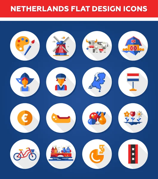
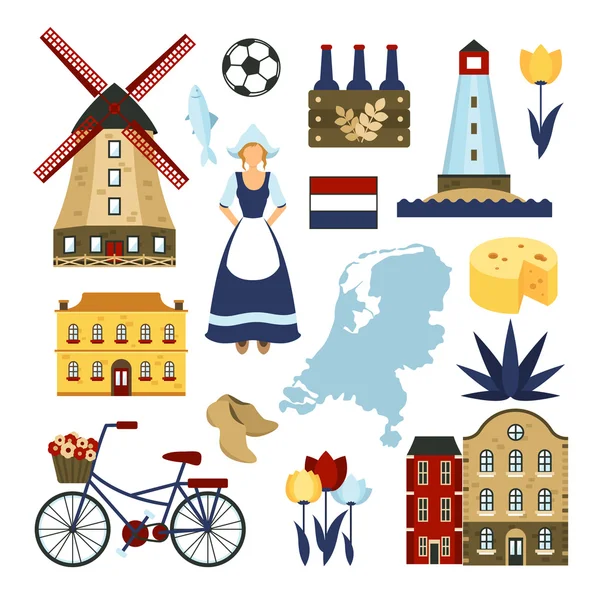
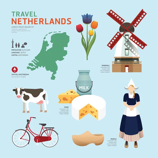
Set Of Flat Design Holland Travel Icons, Infographics Elements With Landmarks And Famous Dutch Symbols

Vector, 0.58MB, 4167 × 4716 eps
stock vector Rotterdam vector map with river, channels, main roads, bridges. Grey background, administrative urban borders.

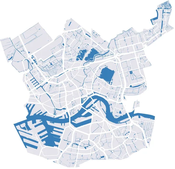
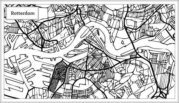
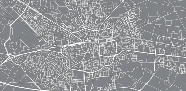
Rotterdam Vector Map With River, Channels, Main Roads, Bridges. Grey Background, Administrative Urban Borders.

Vector, 4.99MB, 4175 × 4036 eps
stock vector Netherlands set. Canal boat, cheese, windmill, clogs, tulips, bicycle and museum. cartoon vector illustration

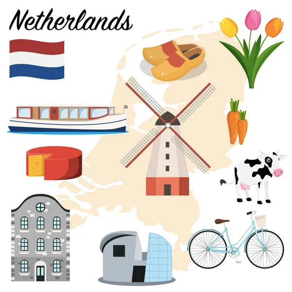
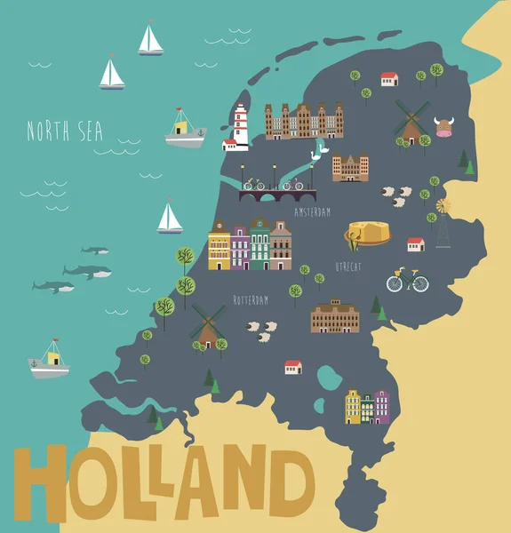
Netherlands Set. Canal Boat, Cheese, Windmill, Clogs, Tulips, Bicycle And Museum. Cartoon Vector Illustration

Vector, 5.49MB, 6000 × 6000 eps
stock vector White and grey vector city map of Amsterdam

White And Grey Vector City Map Of Amsterdam

Vector, 3.86MB, 7714 × 4881 eps
stock vector Map of Cyprus connection. Vector low-poly image of a global map with lights in the form of cities or population density, consisting of points and shapes in the form of stars and space.

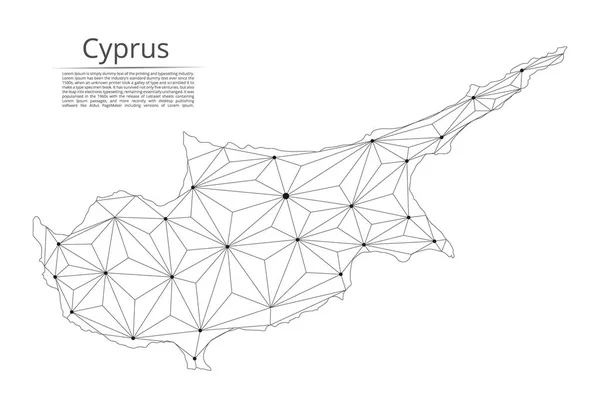
Map Of Cyprus Connection. Vector Low-poly Image Of A Global Map With Lights In The Form Of Cities Or Population Density, Consisting Of Points And Shapes In The Form Of Stars And Space.

Vector, 1.24MB, 4100 × 2800 eps
stock vector Rotterdam Map in Black and White Color.

Rotterdam Map In Black And White Color.

Vector, 1.09MB, 8150 × 4702 eps
stock vector White and Blue vector city map of Amsterdam

White And Blue Vector City Map Of Amsterdam

Vector, 3.71MB, 8016 × 5182 eps
stock vector Urban vector city map of Maastricht, The Netherlands

Urban Vector City Map Of Maastricht, The Netherlands

Vector, 8.53MB, 6000 × 2916 eps
stock vector Urban vector city map of Enschede, The Netherlands

Urban Vector City Map Of Enschede, The Netherlands

Vector, 3.85MB, 6000 × 2933 eps
stock vector Russia communication network map. Vector low poly image of

Russia Communication Network Map. Vector Low Poly Image Of

Vector, 4.27MB, 8192 × 5595 eps
stock vector Venezuela communication network map. Vector low poly image of a global map with lights in the form of cities in or population density consisting of points and shapes and space. Easy to edit

Venezuela Communication Network Map. Vector Low Poly Image Of A Global Map With Lights In The Form Of Cities In Or Population Density Consisting Of Points And Shapes And Space. Easy To Edit

Vector, 1.33MB, 2800 × 4100 eps
Page 1 >> Next