
Stock image Isolated Cornwall Map

Shape Of Cornwall, Administrative County Of England, With Its Capital Isolated On White Background. Topographic Relief Map. 3D Rendering
Image, 4.3MB, 3836 × 3655 jpg
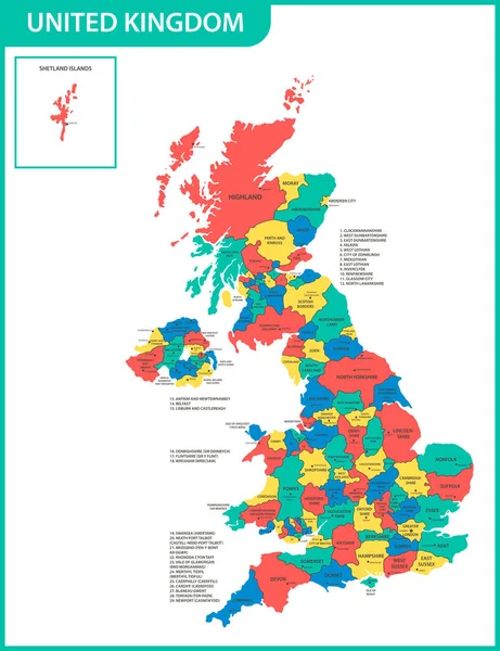
The Detailed Map Of The United Kingdom With Regions Or States And Cities, Capitals. Actual Current Relevant UK, Great Britain Administrative Devision.
Vector, 2.52MB, 5000 × 6500 eps

Cornwall (United Kingdom, England, Non-metropolitan County, Shire County) Map Vector Illustration, Scribble Sketch Cornwall Map
Vector, 0.65MB, 7087 × 4726 eps

The Detailed Map Of The United Kingdom With Regions Or States And Cities, Capitals. Actual Current Relevant UK, Great Britain Administrative Devision.
Vector, 2.56MB, 5000 × 6500 eps
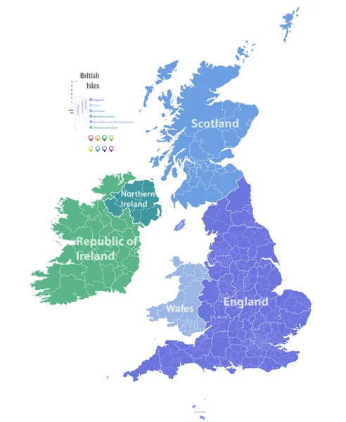
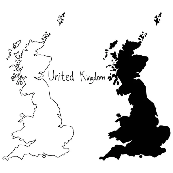
Outline And Silhouette Map Of United Kingdom - Vector Illustration Hand Drawn With Black Lines, Isolated On White Background
Vector, 5.28MB, 5000 × 5000 eps
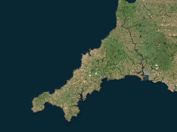
Cornwall, Administrative County Of England - Great Britain. Low Resolution Satellite Map
Image, 4.13MB, 3840 × 2880 jpg

Symbol Map Of The Unitary Single-Tier County Cornwall (United Kingdom) Showing The State/province With A Pattern Of Black Squares Like A Chessboard
Vector, 0.63MB, 6000 × 5921 eps

Cornwall Island In The The Northwestern Passages, Belonging To Canada, Isolated On A Bilevel Elevation Map, With Distance Scale
Image, 0.56MB, 2160 × 2160 jpg

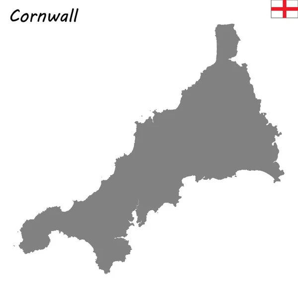
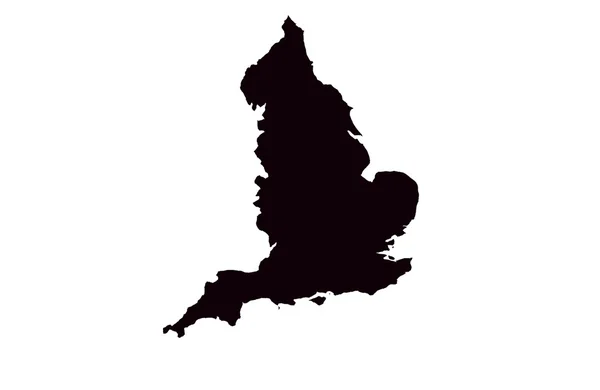
Cornwall Map, Administrative County Of England. Vector Illustration.
Vector, 5.33MB, 8334 × 8334 eps

Cornwall Island In The The Northwestern Passages, Belonging To Canada, Isolated On A Topographic, OSM Humanitarian Style Map, With Distance Scale
Image, 0.29MB, 2160 × 2160 jpg

Cornwall Island In The The Northwestern Passages, Belonging To Canada, Isolated On A Satellite Image Taken In February 13, 2013, With Distance Scale
Image, 1.52MB, 2160 × 2160 jpg
Page 1 >> Next