
Stock image Liguria Border


View Of Dolceacqua Castle And The Bridge In The Old Town Of Dolceacqua, Imperia Province, Liguria Region, Italy
Image, 11.52MB, 4876 × 3448 jpg


Flag Of Liguria From Brush Strokes. Italian Republic. Flag Of Liguria On Transparent Background For Your Web Site Design, Logo, App, UI. Stock Vector. EPS10.
Vector, 7.14MB, 5000 × 5000 eps

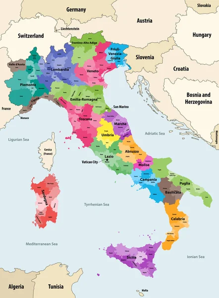
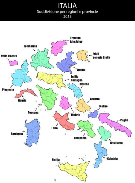
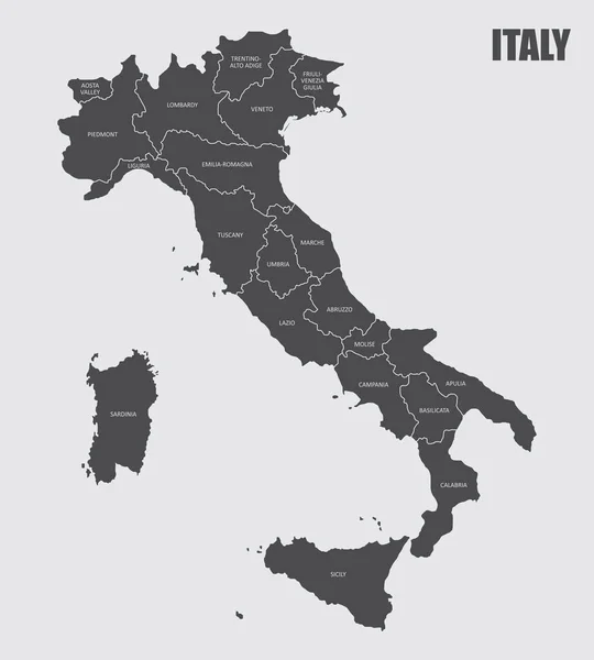
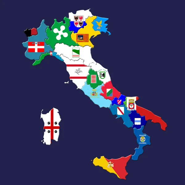
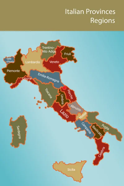
Italy Provinces Colored By Regions Vector Map With Neighbouring Countries And Territories
Vector, 8.02MB, 6154 × 8333 eps

Tilsit Gate, Bridge Of Queen Louise Across Niemen River Separating Russia And Lithuania
Image, 12.26MB, 6000 × 4000 jpg

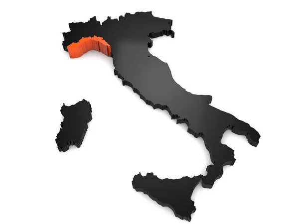
Italy 3d Black And Orange Map, With Liguria Region Highlighted. 3d Render
Image, 0.87MB, 5600 × 4200 jpg

Tilsit Gate, Bridge Of Queen Louise Across Niemen River Separating Russia And Lithuania
Image, 12.72MB, 6000 × 4000 jpg
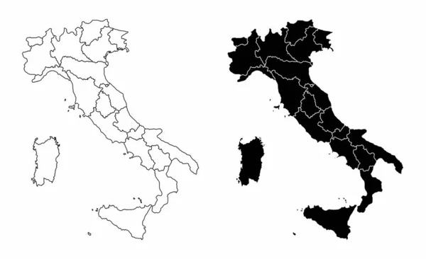


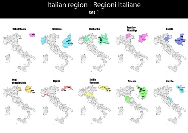
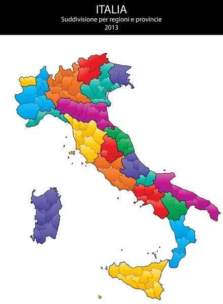
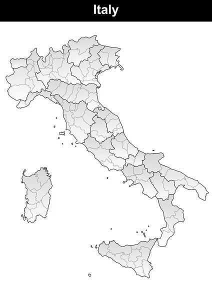
Colorful Map Of Italy Vector Silhouette Illustration Isolated On White Background. Autonomous Communities Of Italy. Detailed Italian Regions Administrative Divisions, Separated Provinces. Outline Map.
Vector, 1.2MB, 4599 × 5187 eps

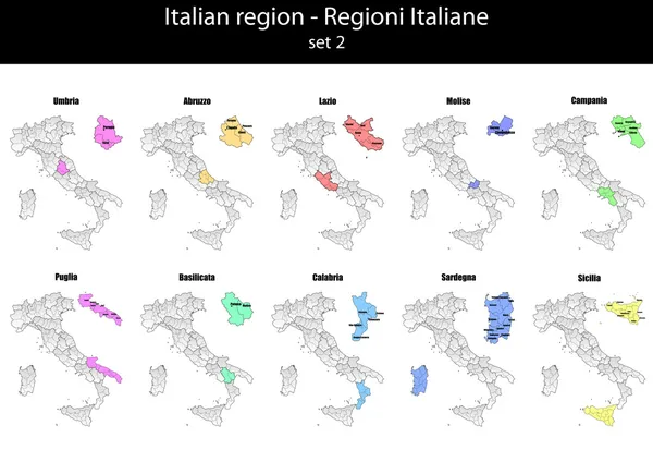
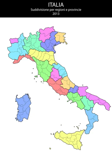
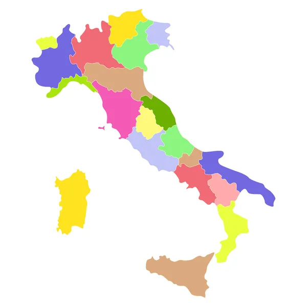
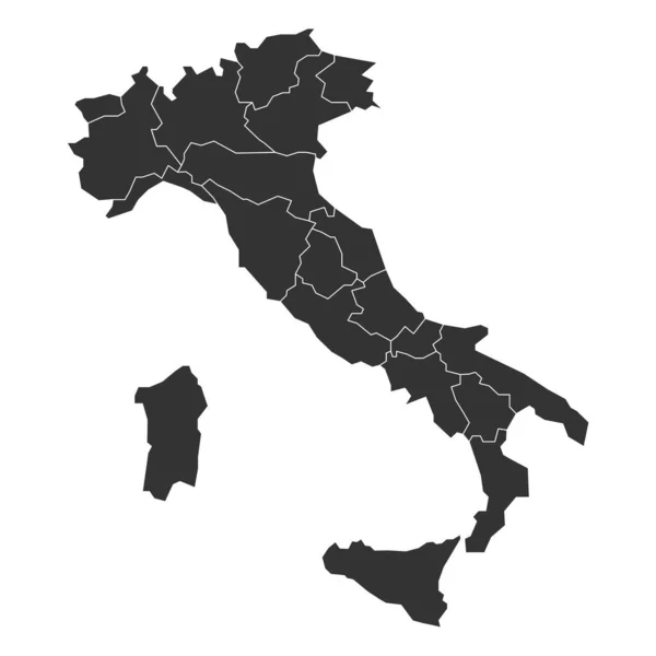
Regions Of Italy. Map Of Regional Country Administrative Divisions. Colorful Vector Illustration
Vector, 0.36MB, 6000 × 6000 eps

High Quality Map Of Genoa Is A City Italy, With Borders Of The Districts. Map Genoa Of Liguria Your Web Site Design, App, UI. EPS10.
Vector, 4.11MB, 7500 × 3750 eps


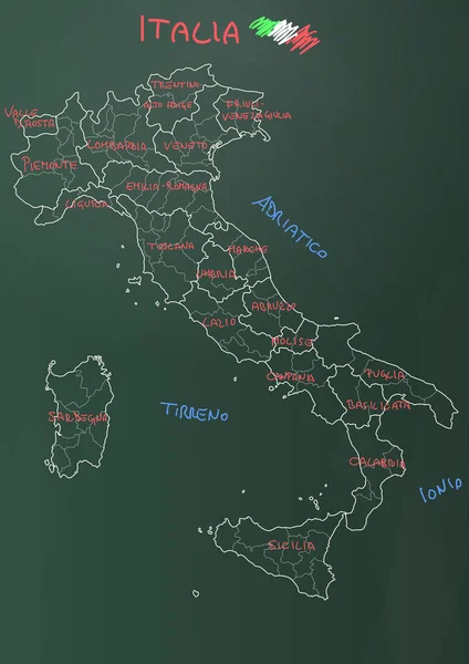
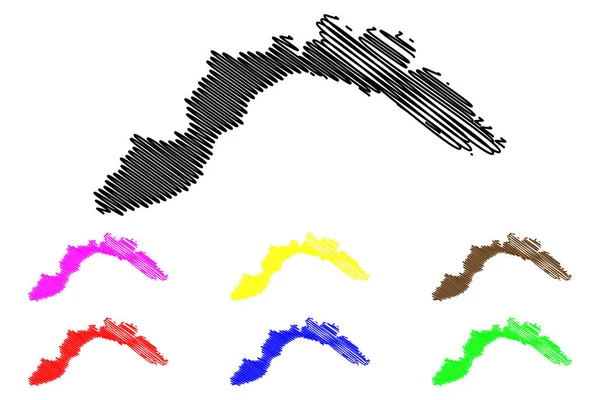
Liguria (Autonomous Region Of Italy) Map Vector Illustration, Scribble Sketch Liguria Map
Vector, 0.6MB, 7087 × 4724 eps

Sunset Over The Ligurian Alps, Along The French-Italian Border, Province Of Imperia, Italy
Image, 5.32MB, 4300 × 2867 jpg

Southern France Coasts, Political Map. Southernmost Part Of France, Bordering The Mediterranean Sea. Map With Provence And French Riviera, Corsica And Part Of Liguria And Italian Riviera, And Corsica.
Vector, 2.49MB, 9000 × 6000 eps

Liguria (Autonomous Region Of Italy) Map Vector Illustration, Scribble Sketch Liguria Map
Vector, 0.9MB, 7087 × 4724 eps
Page 1 >> Next