
Stock image Map Of North Rhine Westphalia
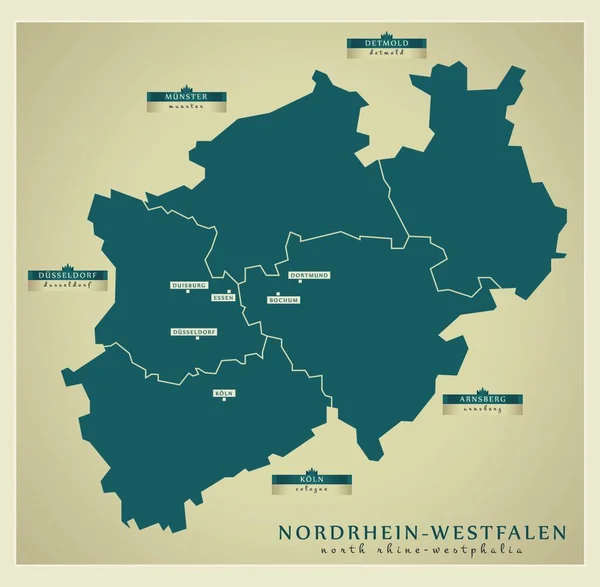
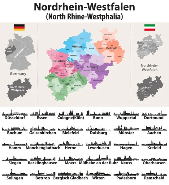
Germany State North Rhine-Westphalia High Detailed Vector Map With Largest Cities Skylines Silhouettes
Vector, 11.97MB, 8334 × 9148 eps
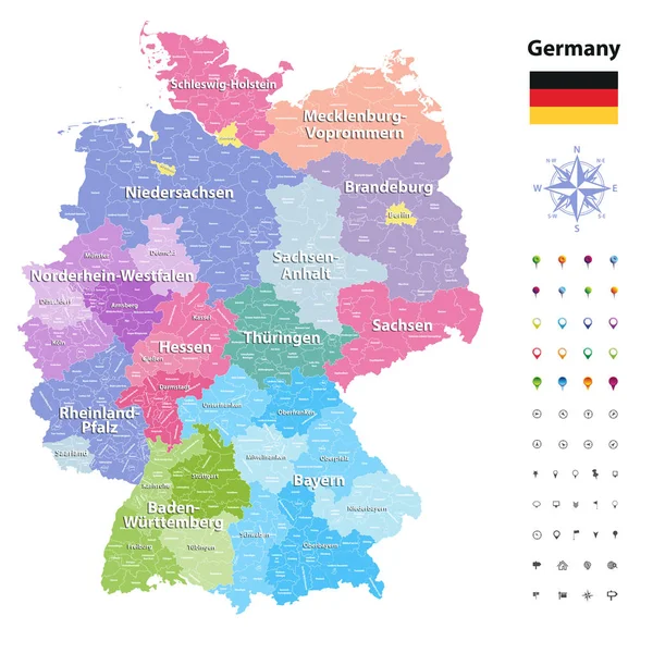
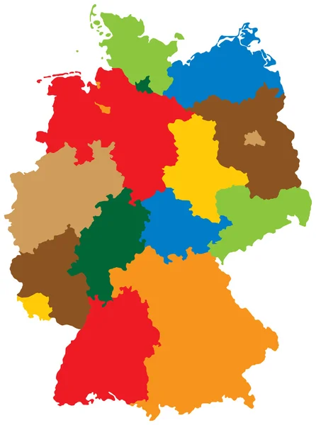
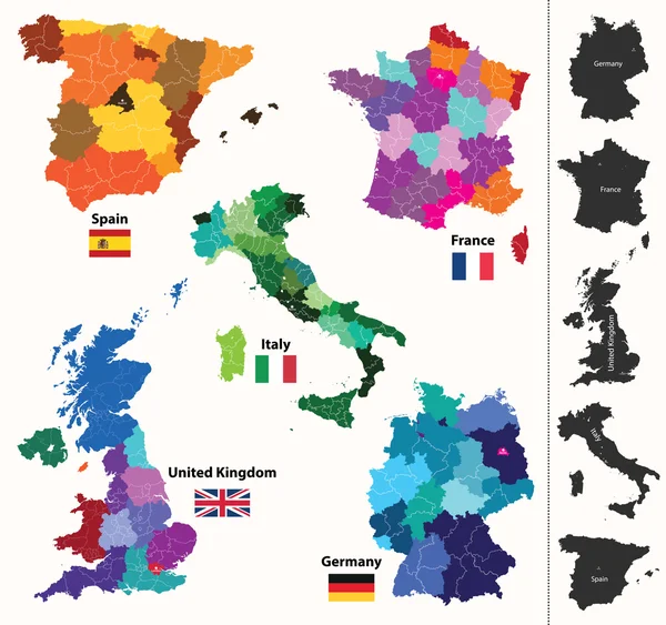
Germany Vector Map (colored By States And Administrative Districts) With Subdivisions.
Vector, 14.14MB, 7292 × 7293 eps


Nordrhein-Westfalen, State Of Germany. Colored Shader Data With Lakes And Rivers. Shape Presented Against Its Country Area With Informative Overlays. 3D Rendering
Image, 3.76MB, 2880 × 1620 jpg

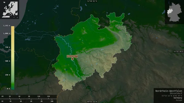
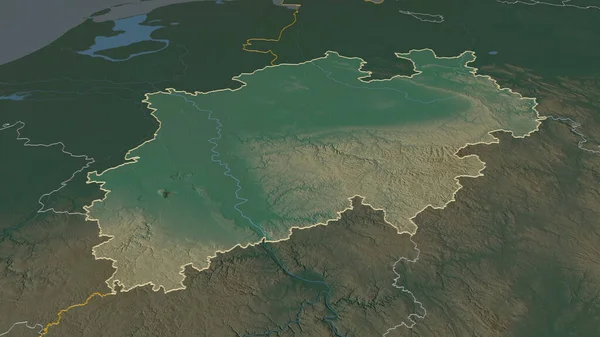
Zoom In On Nordrhein-Westfalen (state Of Germany) Extruded. Oblique Perspective. Bilevel Elevation Map With Surface Waters. 3D Rendering
Image, 1.9MB, 3840 × 2160 jpg
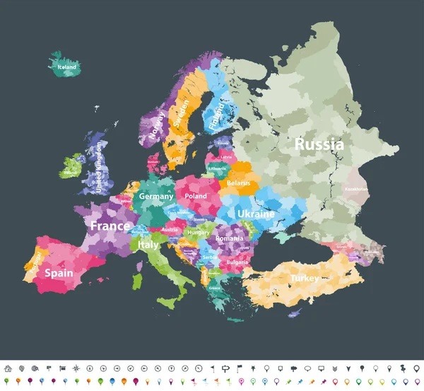
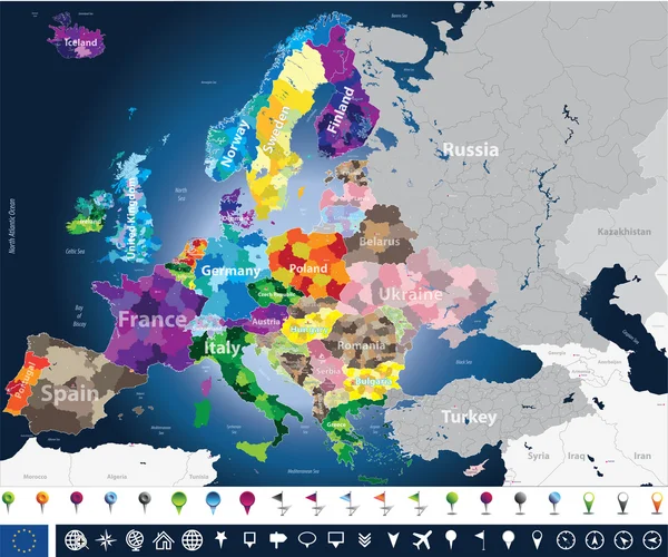
Europe Map Colored By Countries With Regions Borders. Navigation, Location And Travel Icons Collection.
Vector, 10.4MB, 7292 × 5952 eps

Map Of Europe Colored By Countries With Regions Borders. Flags Of All European Countries. Navigation, Location And Travel Icons. All Elements Separated In Labeled And Detached Layers. Vector
Vector, 13.87MB, 7292 × 7292 eps
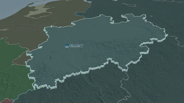
Zoom In On Nordrhein-Westfalen (state Of Germany) Outlined. Oblique Perspective. Topographic Relief Map With Surface Waters. 3D Rendering
Image, 2.33MB, 3840 × 2160 jpg
Europe Map Colored By Countries With Regions Borders. Navigation, Location And Travel Icons Collection. All Elements Separated In Labeled And Detachable Layers. Vector
Vector, 12.21MB, 7292 × 6731 eps
Zoom In On Nordrhein-Westfalen (state Of Germany) Extruded. Oblique Perspective. Colored And Bumped Map Of The Administrative Division With Surface Waters. 3D Rendering
Image, 1.88MB, 3840 × 2160 jpg

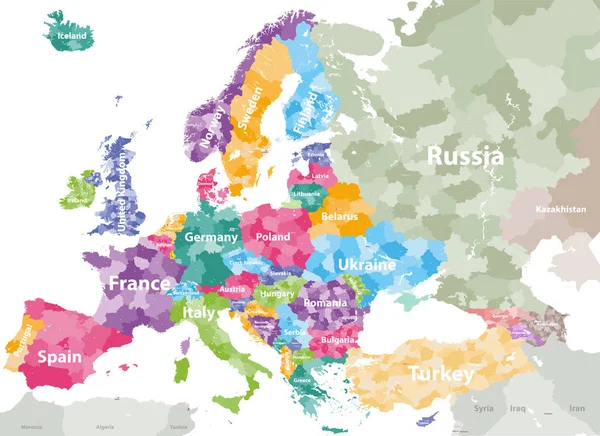
High Detailed Colored Political Map Of Europe With Countries' Regions. Vector
Vector, 11.99MB, 7285 × 5297 eps

Vector Illustration Of Germany State's North Rhine-Westphlia Map With Largest Cities Skylines
Vector, 13.69MB, 8333 × 9166 eps

Zoom In On Nordrhein-Westfalen (state Of Germany) Outlined. Oblique Perspective. Colored And Bumped Map Of The Administrative Division With Surface Waters. 3D Rendering
Image, 1.95MB, 3840 × 2160 jpg
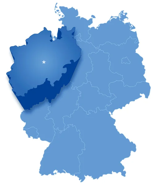
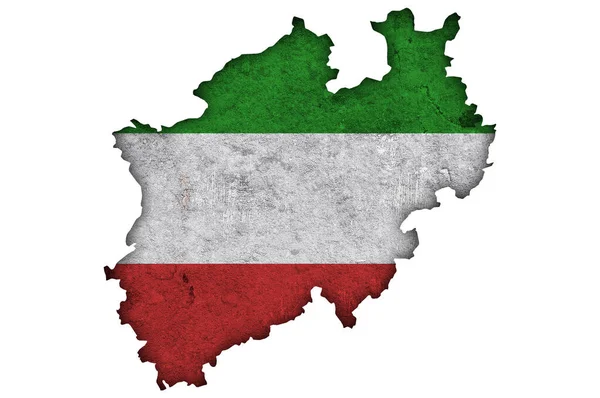
Map Of Germany Where North Rhine-Westphalia (Nordrhein-Westfalen) Is Pulled Out
Vector, 2.89MB, 4722 × 5722 eps

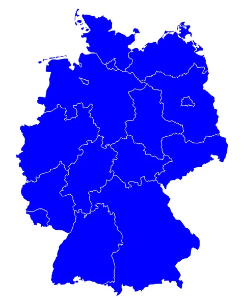
Administrative And Political Map Of Germany Newly Revised 2019 In Black And White
Vector, 7.28MB, 6258 × 8029 eps
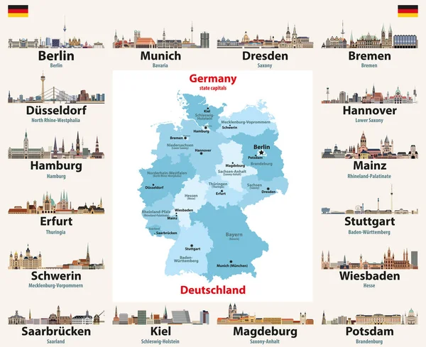
Germany Map With State Capitals Cities Skylines Vector Illustration. All Layers Are Labelled, Editable And Well Organized
Vector, 13.44MB, 8333 × 6791 eps


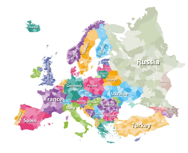
Colored Political Map Of Europe With Countries' Regions. Vector Illustration
Vector, 12.22MB, 7292 × 5961 eps

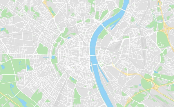
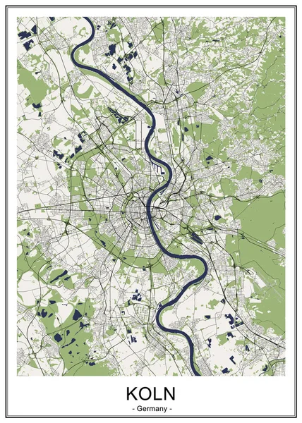
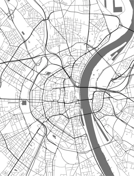
Detailed Map Of The State Of North Rhine - Westphalia (Germany) With Borders Of Municipalities, Subdistricts, Districts, And Provinces. Vector Illustration
Vector, 9.18MB, 5000 × 5000 eps

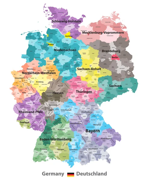
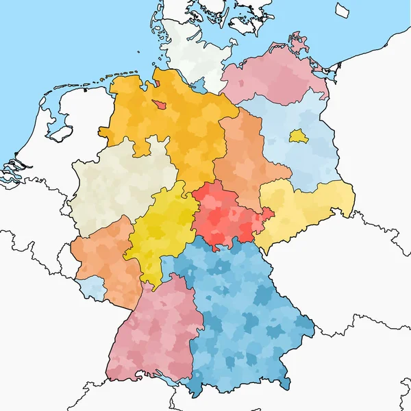
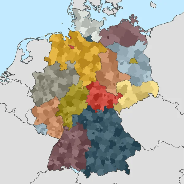
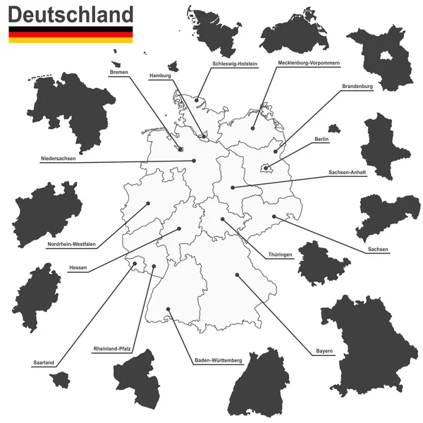
Germany Map (colored By States And Administrative Districts) With Subdivisions
Vector, 10.61MB, 5788 × 7188 eps
Page 1 >> Next