photo free
Home Images Vectors Videos

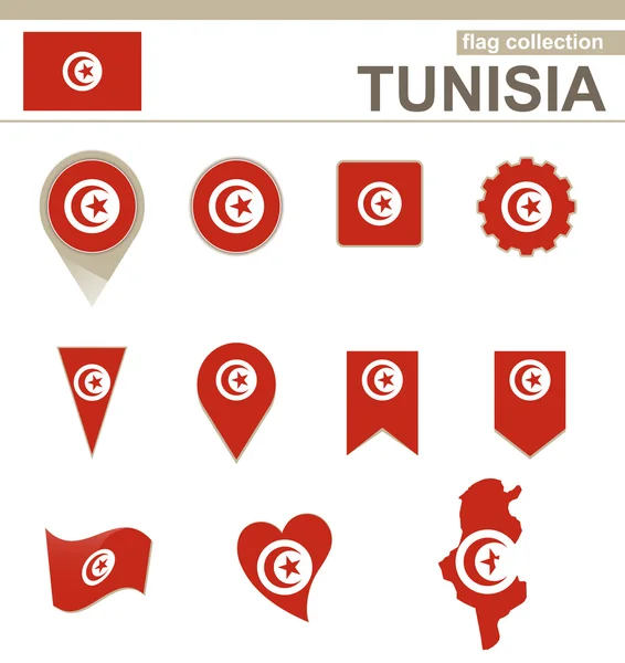
Stock image Map Tunisia page 2

stock vector Stylized map of Tunisia. Isometric 3D green map with cities, borders, capital, regions. Vector illustration. Editable layers clearly labeled. English language.

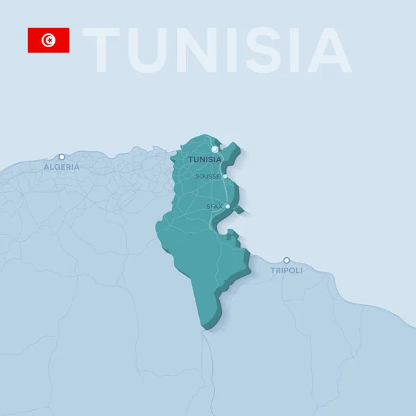
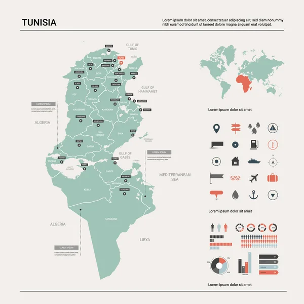
Stylized Map Of Tunisia. Isometric 3D Green Map With Cities, Borders, Capital, Regions. Vector Illustration. Editable Layers Clearly Labeled. English Language.

Vector, 3.32MB, 4800 × 4000 eps
stock vector blue map of africa

Blue Map Of Africa

Vector, 7.44MB, 7918 × 5269 eps
stock vector Map of Africa.

Map Of Africa.

Vector, 7.35MB, 3806 × 2786 eps
stock vector Tunisia Flag Collection

Tunisia Flag Collection

Vector, 0.4MB, 5000 × 5294 eps
stock vector Streets of Tunis, map of the city, capital, Tunisia. Street. Africa

Streets Of Tunis, Map Of The City, Capital, Tunisia. Street. Africa

Vector, 4.23MB, 6659 × 4992 eps
stock vector Tunisia - infographic map and flag - Detailed Vector Illustration

Tunisia - Infographic Map And Flag - Detailed Vector Illustration

Vector, 5.65MB, 5500 × 7593 eps
stock image Mahdia, governorate of Tunisia. Open Street Map

Mahdia, Governorate Of Tunisia. Open Street Map

Image, 4.53MB, 3840 × 2880 jpg
stock image Map of the Mediterranean Sea and Europe, map of heights, sea bottom, Africa and Middle East, 3d rendering. Physical map

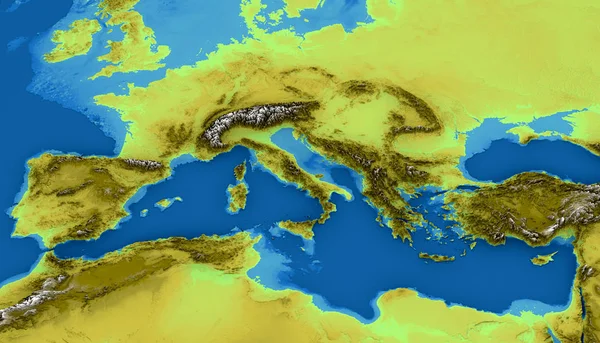
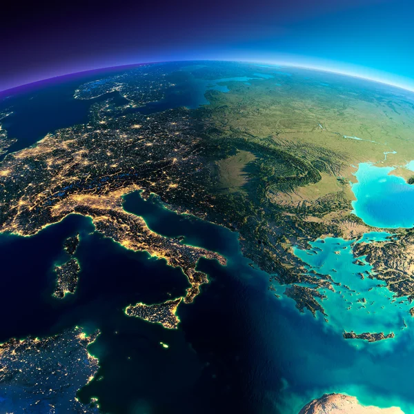
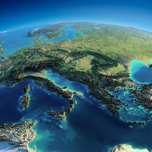
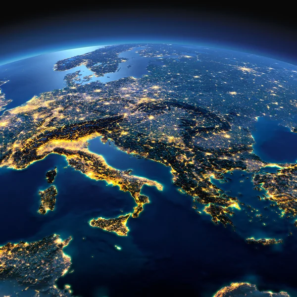
Map Of The Mediterranean Sea And Europe, Map Of Heights, Sea Bottom, Africa And Middle East, 3d Rendering. Physical Map

Image, 8.39MB, 4724 × 2703 jpg
stock vector Vector Classic Africa Map

Vector Classic Africa Map

Vector, 10.85MB, 6998 × 6988 eps
stock vector Modern of tunisia Map connections network design, Best Internet Concept of tunisia map business from concepts series, map point and line composition. Infographic map. Vector Illustration.

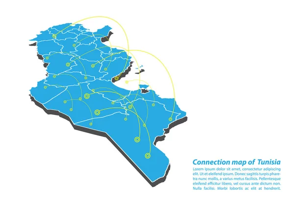
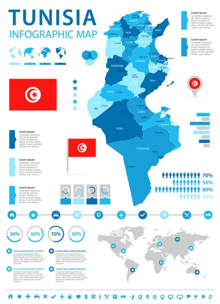
Modern Of Tunisia Map Connections Network Design, Best Internet Concept Of Tunisia Map Business From Concepts Series, Map Point And Line Composition. Infographic Map. Vector Illustration.

Vector, 6.09MB, 5000 × 3500 eps
stock vector Map of Tunisia. Vector illustration

Map Of Tunisia. Vector Illustration

Vector, 0.65MB, 6250 × 5000 eps
stock image hand made map with the travel style

Hand Made Map With The Travel Style

Image, 6.34MB, 5760 × 3840 jpg
stock vector Africa, Arabia and India Global World in Space

Africa, Arabia And India Global World In Space

Vector, 2.64MB, 5343 × 5760 eps
stock image Detailed Earth. North Africa. Algeria, Morocco and Tunisia on a

Detailed Earth. North Africa. Algeria, Morocco And Tunisia On A

Image, 10.22MB, 5000 × 5000 jpg
stock vector Map pointer - Tunisia

Map Pointer - Tunisia

Vector, 12.91MB, 7000 × 6624 eps
stock vector Verctor Map of cities and roads in Tunisia.

Verctor Map Of Cities And Roads In Tunisia.

Vector, 5.18MB, 7087 × 7087 eps
stock vector Simple flat map of Africa continent with national borders and country name labels on blue background. Vector illustration

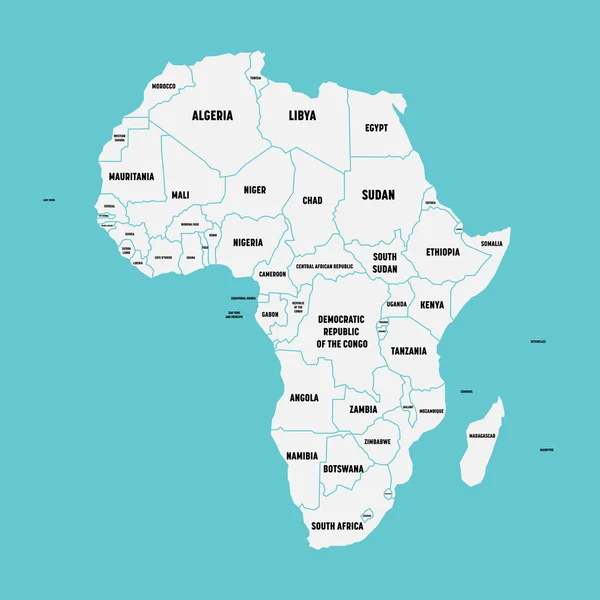
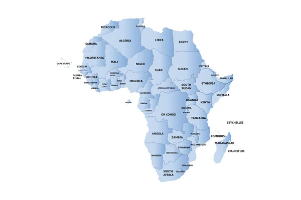
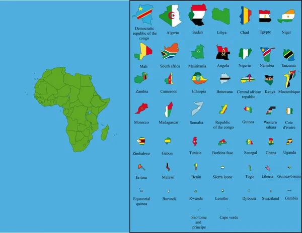
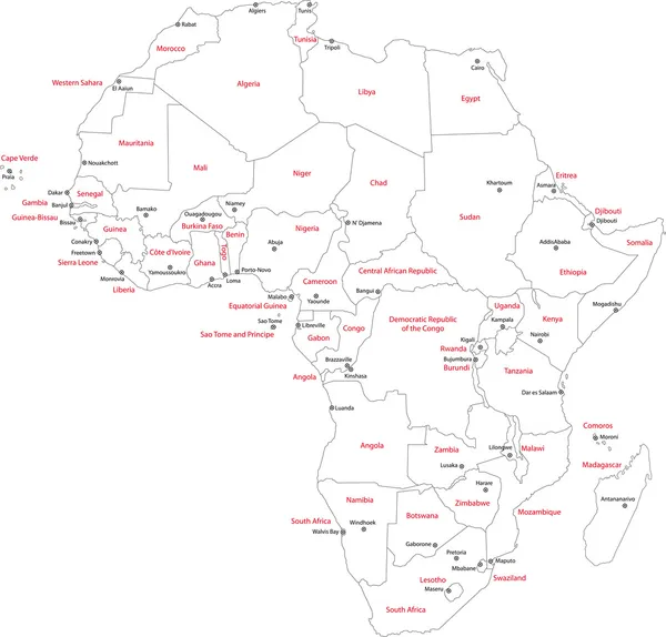
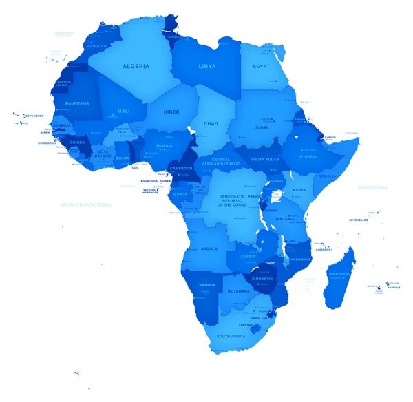
Simple Flat Map Of Africa Continent With National Borders And Country Name Labels On Blue Background. Vector Illustration

Vector, 0.62MB, 6000 × 6000 eps
stock image Detailed Earth. Italy, Greece and the Mediterranean Sea

Detailed Earth. Italy, Greece And The Mediterranean Sea

Image, 10.99MB, 5000 × 5000 jpg
stock vector tunisia flag and pins for infographic, and map design

Tunisia Flag And Pins For Infographic, And Map Design

Vector, 2.22MB, 8192 × 8192 eps
stock image Satellite view of  North Africa map

Satellite View Of North Africa Map

Image, 7.9MB, 4724 × 3149 jpg
stock vector Vector detailed map of Africa with borders and country names.

Vector Detailed Map Of Africa With Borders And Country Names.

Vector, 2.07MB, 5000 × 5000 eps
stock vector Stylized vector Tunisia map.  Infographic 3d gold map illustration with cities, borders, capital, administrative divisions and pointer marks, shadow; gradient background.

Stylized Vector Tunisia Map. Infographic 3d Gold Map Illustration With Cities, Borders, Capital, Administrative Divisions And Pointer Marks, Shadow; Gradient Background.

Vector, 1.89MB, 2500 × 3000 eps
stock vector Map of the Mena Region, Middle East and North Africa

Map Of The Mena Region, Middle East And North Africa

Vector, 3.44MB, 6406 × 3100 eps
stock vector Highly detailed political map of Northern Africa and the Middle

Highly Detailed Political Map Of Northern Africa And The Middle

Vector, 4.87MB, 8192 × 4923 eps
stock vector Tunisia highly detailed vector map with administrative regions, main cities and roads.

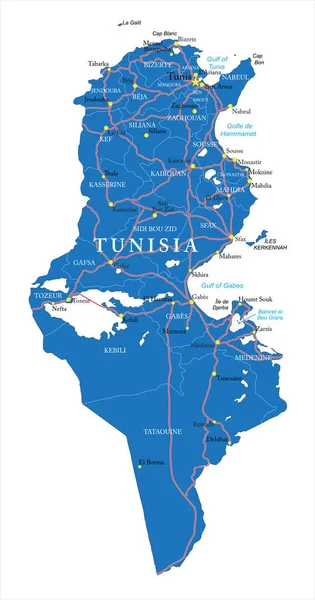
Tunisia Highly Detailed Vector Map With Administrative Regions, Main Cities And Roads.

Vector, 1.43MB, 3155 × 6000 eps
stock vector Africa map separate individual states green vector

Africa Map Separate Individual States Green Vector

Vector, 2.63MB, 3986 × 3960 eps
stock vector Africa

Africa

Vector, 0.39MB, 2520 × 2520 eps
stock vector Retro color map of Northern Africa and the Middle East

Retro Color Map Of Northern Africa And The Middle East

Vector, 5.54MB, 8186 × 4934 eps
stock vector Abstract mash line and point scales on dark background with map of tunisia. Abstract network vector concept of tunisia. Internet and connection map background. Triangle, dot ,line Vector.

Abstract Mash Line And Point Scales On Dark Background With Map Of Tunisia. Abstract Network Vector Concept Of Tunisia. Internet And Connection Map Background. Triangle, Dot ,line Vector.

Vector, 1.54MB, 6000 × 4200 eps
stock image national flag of Tunisia

National Flag Of Tunisia

Image, 7.55MB, 8431 × 5637 jpg
stock image American Economy

American Economy

Image, 3.72MB, 4445 × 1958 jpg
stock vector Africa with all flags

Africa With All Flags

Vector, 1.7MB, 3990 × 3087 eps
stock vector Map of Africa

Map Of Africa

Vector, 1.33MB, 4889 × 4900 eps
stock image Night Earth. A piece of Europe - Italy and Greece

Night Earth. A Piece Of Europe - Italy And Greece

Image, 9.87MB, 5000 × 5000 jpg
stock vector Vector map of Tunisia.

Vector Map Of Tunisia.

Vector, 2.64MB, 4000 × 4000 eps
stock image Detailed Earth. Italy, Greece and the Mediterranean Sea

Detailed Earth. Italy, Greece And The Mediterranean Sea

Image, 11.79MB, 5000 × 5000 jpg
stock vector Africa map

Africa Map

Vector, 3.75MB, 6941 × 6647 eps
stock vector Abstract Africa map of glowing radial dots. Vector

Abstract Africa Map Of Glowing Radial Dots. Vector

Vector, 4.6MB, 4441 × 4440 eps
stock vector Flags of African countries like pins

Flags Of African Countries Like Pins

Vector, 0.85MB, 5000 × 4251 eps
stock vector Arab World states political map with orange higlighted 22 arabic-speaking countries of the Arab League. Northern Africa and Middle East region. Vector map with blue water and yellow lands

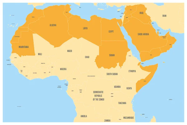
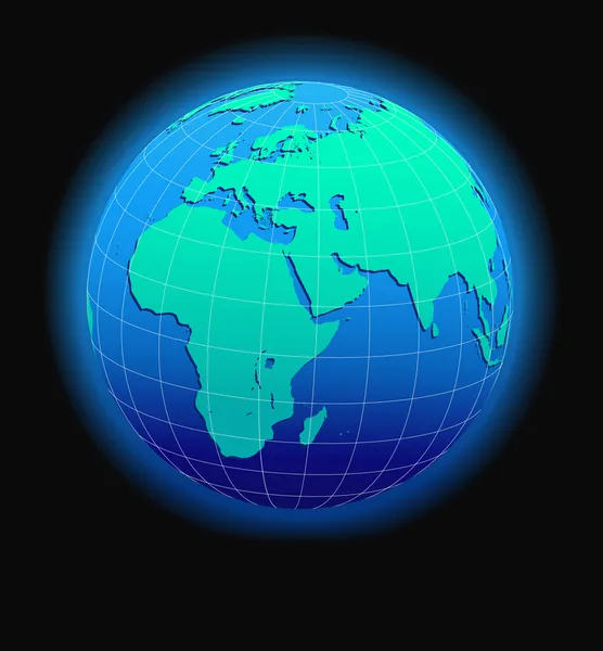
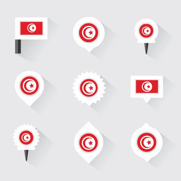
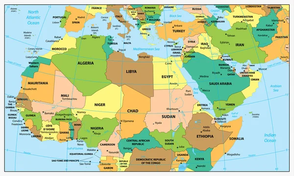
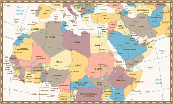
Arab World States Political Map With Orange Higlighted 22 Arabic-speaking Countries Of The Arab League. Northern Africa And Middle East Region. Vector Map With Blue Water And Yellow Lands

Vector, 2.74MB, 6001 × 4030 eps
stock image Jendouba, governorate of Tunisia. Open Street Map

Jendouba, Governorate Of Tunisia. Open Street Map

Image, 4.39MB, 3840 × 2880 jpg
stock vector African countries Map in Typography

African Countries Map In Typography

Vector, 3.09MB, 5000 × 3750 eps
stock image Detailed Earth. Italy, Greece and the Mediterranean Sea on a moo

Detailed Earth. Italy, Greece And The Mediterranean Sea On A Moo

Image, 13.07MB, 5000 × 5000 jpg
stock image Detailed Earth. North Africa. Algeria, Morocco and Tunisia on a moonlit night

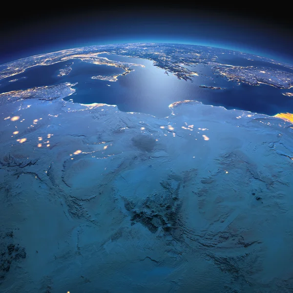
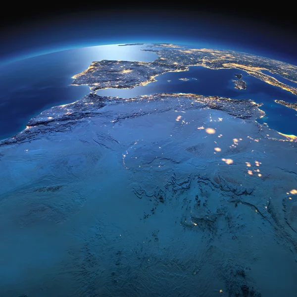
Detailed Earth. North Africa. Algeria, Morocco And Tunisia On A Moonlit Night

Image, 9.9MB, 5000 × 5000 jpg
stock vector Map pin icons of national flags of african countries

Map Pin Icons Of National Flags Of African Countries

Vector, 0.45MB, 8250 × 8250 eps
stock image Central Mediterranean map, physical map, South and Central Europe. 3d render, reliefs and mountains. Mediterranean. Italy, France, Spain, Germany, Greece, Tunisia. Immigrant landings. Elements of this image are furnished by Nasa

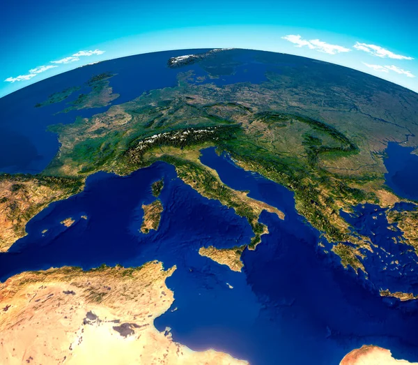
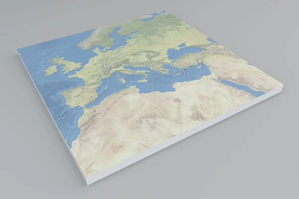
Central Mediterranean Map, Physical Map, South And Central Europe. 3d Render, Reliefs And Mountains. Mediterranean. Italy, France, Spain, Germany, Greece, Tunisia. Immigrant Landings. Elements Of This Image Are Furnished By Nasa

Image, 12.69MB, 4822 × 4206 jpg
stock vector Vector Africa Blue Map

Vector Africa Blue Map

Vector, 4.72MB, 6400 × 6235 eps
stock vector Vector maps set.  High detailed 46 maps of African countries wit

Vector Maps Set. High Detailed 46 Maps Of African Countries Wit

Vector, 11.08MB, 6000 × 3600 eps
stock vector Multicolored political map of Africa continent with national borders and country name labels on white background. Vector illustration

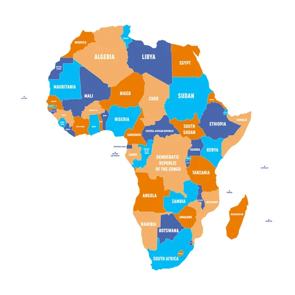
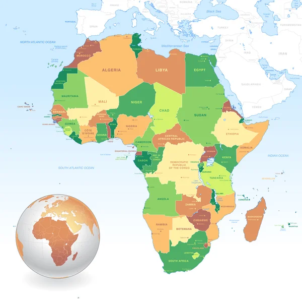
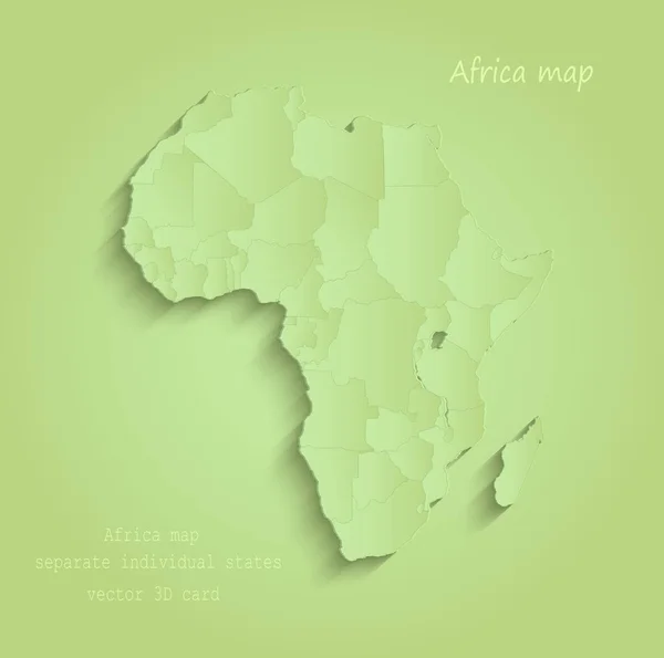
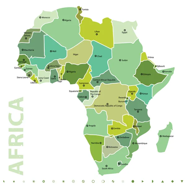
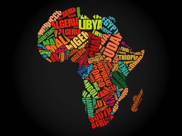
Multicolored Political Map Of Africa Continent With National Borders And Country Name Labels On White Background. Vector Illustration

Vector, 0.63MB, 6000 × 6000 eps
stock image Planisphere map globe, political map

Planisphere Map Globe, Political Map

Image, 6.76MB, 5511 × 4724 jpg
Previous << Page 2 >> Next