
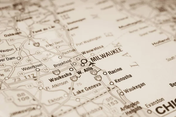
Stock image Milwaukee Map

Modern City Map - Milwaukee Wisconsin City Of The USA With Neighborhoods And Titles Outline Map
Vector, 13.76MB, 5000 × 7976 eps

Map Of Milwaukee In Wisconsin In Grayscale. Contains Layered Vector With Roads Water, Parks, Etc.
Vector, 12.93MB, 2400 × 2400 eps

Map Of Milwaukee In Wisconsin In Blue. Contains Layered Vector With Roads Water, Parks, Etc.
Vector, 8.37MB, 2400 × 2400 eps

Road Map Of Milwaukee In Wisconsin. Contains Layered Vector With Roads Water, Parks, Etc.
Vector, 12.96MB, 2400 × 2400 eps

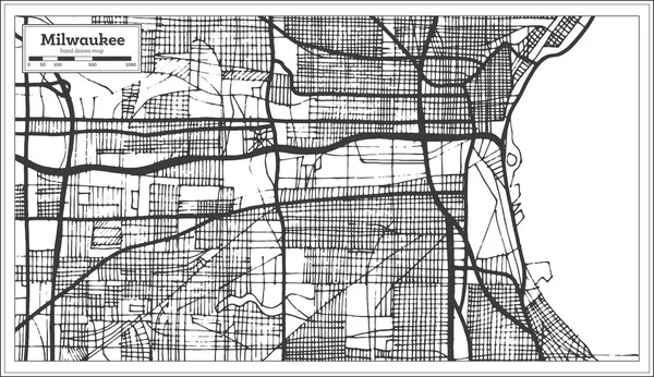
Milwaukee United States North America City Map Black White Vector Illustration
Vector, 14.49MB, 2210 × 2457 eps

Modern City Map - Milwaukee Wisconsin City Of The USA With Neighborhoods
Vector, 7.68MB, 5000 × 8239 eps

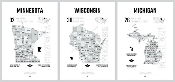
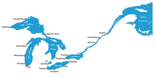
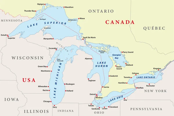
Highly Detailed Vector Silhouettes Of US State Maps, Division United States Into Counties, Political And Geographic Subdivisions Of A States, The Great Lakes Region - Minnesota, Wisconsin, Michigan - Set 5 Of 17
Vector, 13.02MB, 9608 × 4501 eps
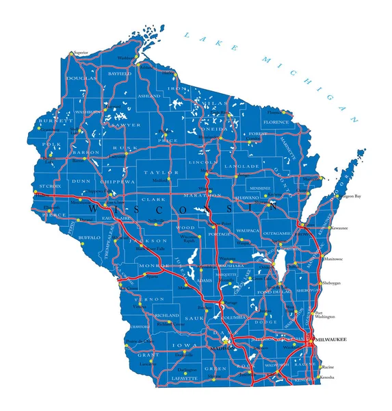
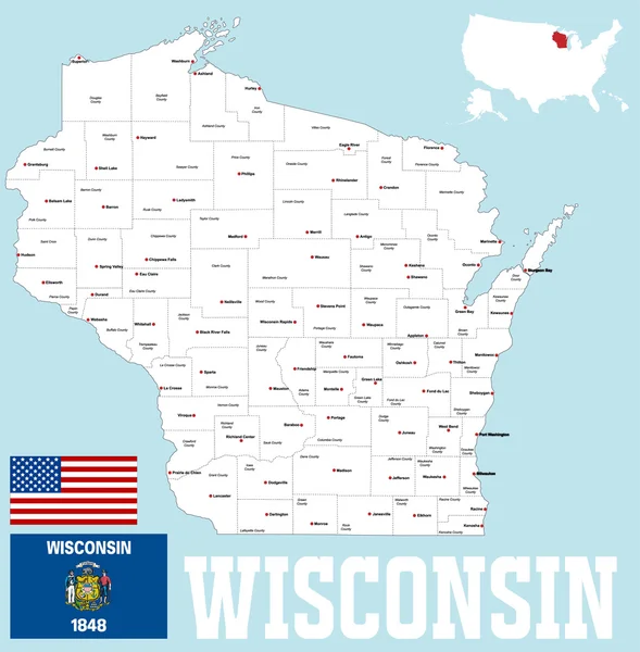
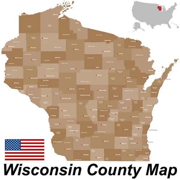
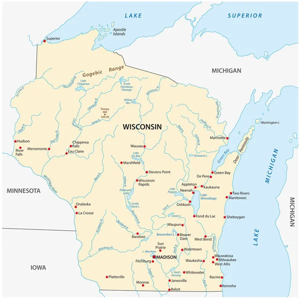
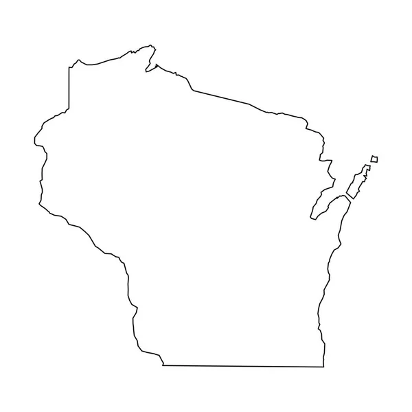
Detailed Map Of Wisconsin State,in Vector Format,with County Borders,roads And Major Cities
Vector, 3.68MB, 4778 × 4998 eps
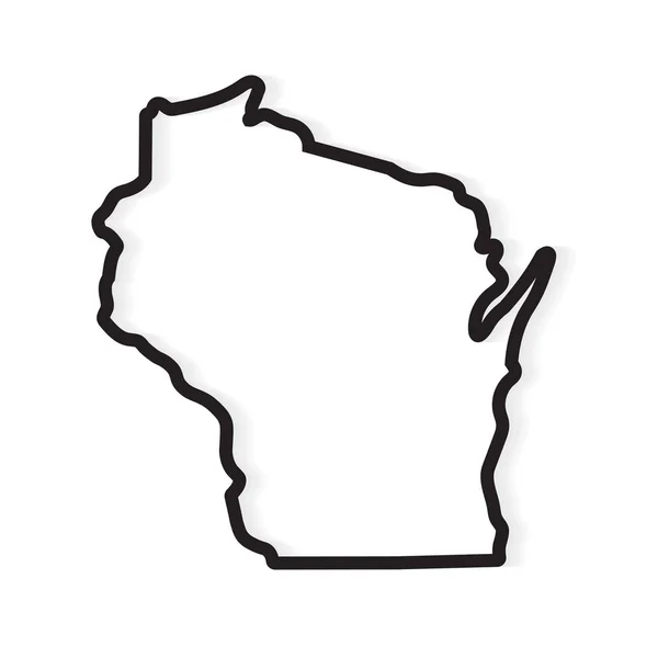
Wisconsin State Vector Map High Detailed Silhouette Isolated On White Background
Vector, 1.37MB, 5000 × 3531 eps

Michigan, MI, Political Map, With Capital Lansing And Metropolitan Area Detroit. State In Great Lakes Region Of Upper Midwestern United States, Nicknamed The Great Lake State, And The Wolverine State.
Vector, 6.65MB, 6000 × 6000 eps

Vector Set 6 Of 10 Highly Detailed Silhouettes Of US State Maps, Divided Into Counties With Names And Territory Nicknames
Vector, 8.22MB, 9585 × 3348 eps

Modern City Map - Milwaukee Wisconsin City Of The USA With Neighborhoods And Titles
Vector, 13.86MB, 5000 × 8239 eps
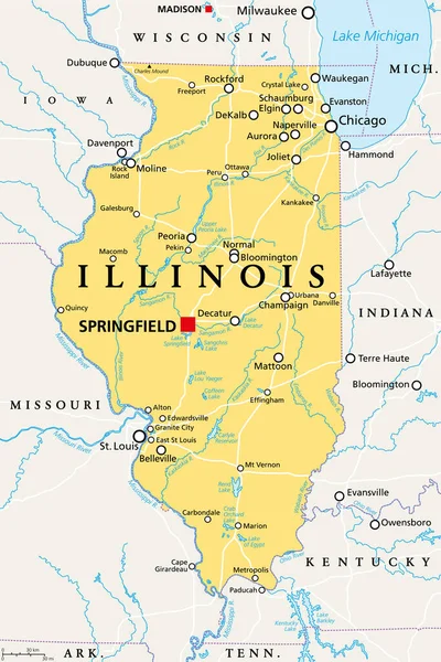
Illinois, IL, Political Map, With Capital Springfield And Metropolitan Area Chicago. State In The Midwestern Region Of United States, Nicknamed Land Of Lincoln, Prairie State, And Inland Empire State.
Vector, 4.08MB, 6000 × 9000 eps

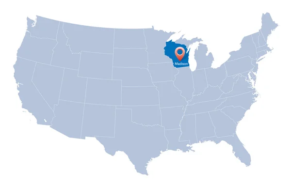
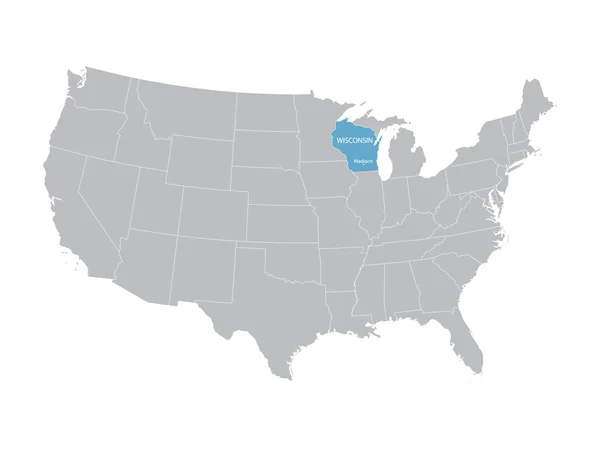
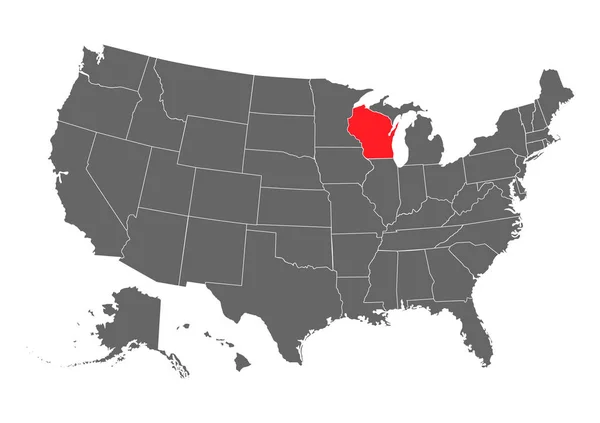
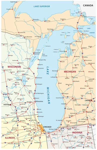
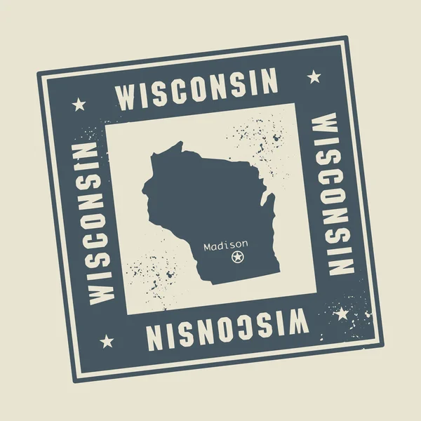
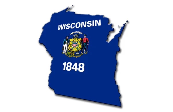
Wisconsin, WI, Political Map, With The Capital Madison And Metropolitan Area Milwaukee. State In The Upper Midwestern United States Of America, With The Nicknames Badger State, And Americas Dairyland.
Vector, 4.43MB, 6000 × 6000 eps


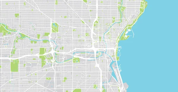
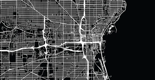
Urban Vector City Map Of Milwaukee, Wisconsin, United States Of America
Vector, 5.48MB, 6000 × 3110 eps
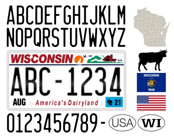
Wisconsin License Plate, Letters, Numbers And Symbols, USA, United States Of America, Vector Illustration
Vector, 11.08MB, 8000 × 6400 eps


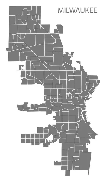
Milwaukee Wisconsin City Map With Neighborhoods Grey Illustration Silhouette Shape
Vector, 3.66MB, 5000 × 8538 eps

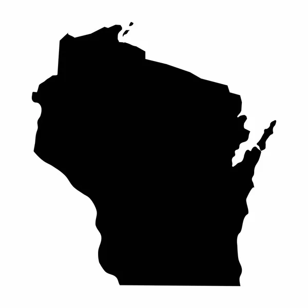

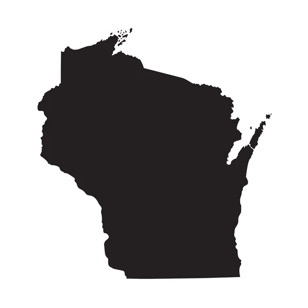
Wisconsin, State Of USA - Solid Black Silhouette Map Of Country Area. Simple Flat Vector Illustration
Vector, 0.25MB, 6000 × 6000 eps

Wisconsin State Vector Map Silhouette Isolated On White Background. High Detailed Illustration. United State Of America Country.
Vector, 0.28MB, 4000 × 4000 eps

Urban Vector City Map Of Milwaukee, Wisconsin, United States Of America
Vector, 4.07MB, 6000 × 3110 eps
Wisconsin, State Of USA - Solid Black Outline Map Of Country Area. Simple Flat Vector Illustration
Vector, 0.22MB, 5000 × 5000 eps

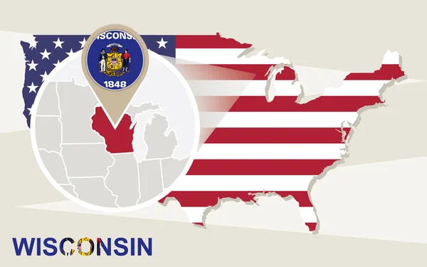
Wisconsin State Map With US Flag Inside And Map Pointer With American Flag.
Vector, 1.32MB, 4005 × 4005 eps

Page 1 >> Next