
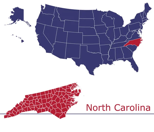
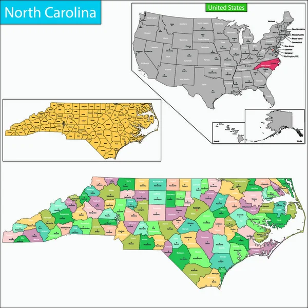
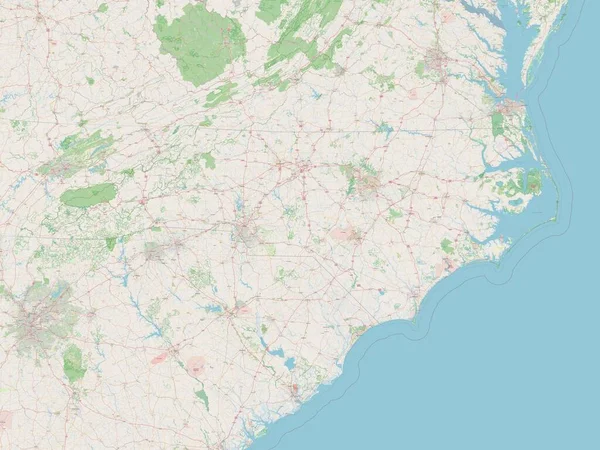
Stock image North Carolina Administrative

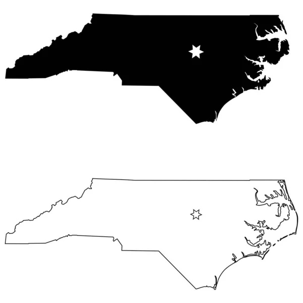
North Carolina NC State Map USA With Capital City Star At Raleigh. Black Silhouette And Outline Isolated On A White Background. EPS Vector
Vector, 5.96MB, 8334 × 8334 eps

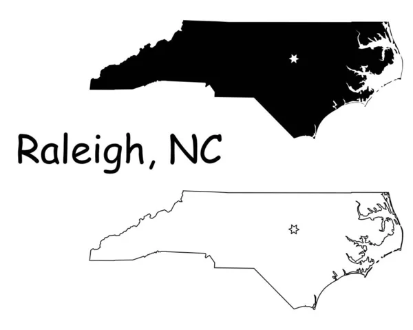
Raleigh North Carolina NC State Border USA Map. North Carolina NC State Map USA With Capital City Star At Raleigh. Black Silhouette And Outline Isolated On A White Background. EPS Vector
Vector, 6.05MB, 5000 × 4000 eps

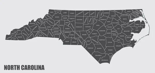
Map Of North Carolina State Designed In Illustration With The Counties And The County Seats
Vector, 0MB, 5000 × 5000 zip
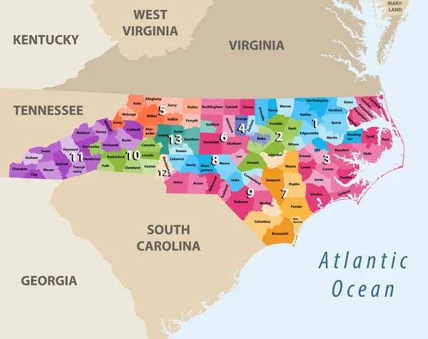
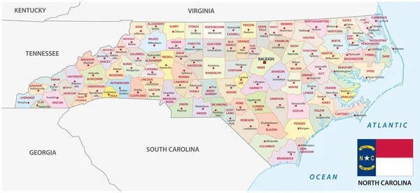
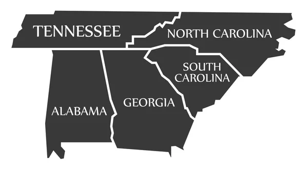
Vector Map Of North Carolina's Congressional Districts With Nearest States
Vector, 6.42MB, 8333 × 6598 eps


South Carolina State Outline Administrative And Political Map In Black And White
Vector, 0.93MB, 3685 × 3100 eps

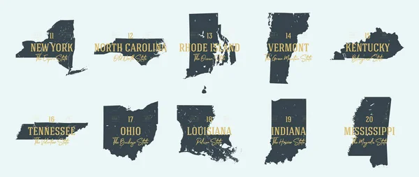
Vector Set 3 Of 10 Highly Detailed Silhouettes Of US State Maps, Divided Into Counties With Names And Territory Nicknames
Vector, 5.2MB, 9585 × 3348 eps

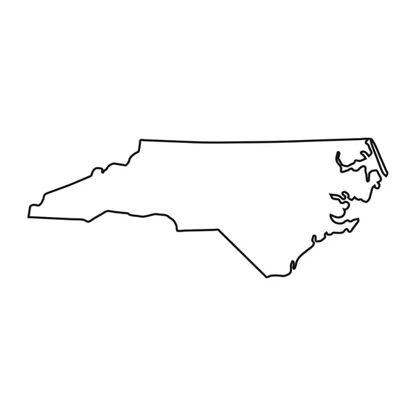
North Carolina State Outline Administrative And Political Vector Map In Black And White
Vector, 1.17MB, 5998 × 3100 eps

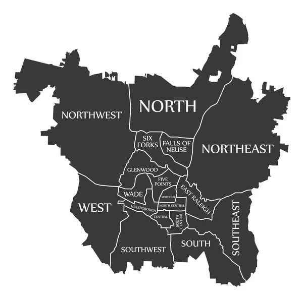
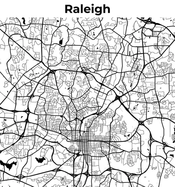
Raleigh North Carolina Map With Neighborhoods And Modern Round Shapes
Vector, 7.03MB, 5267 × 5000 eps

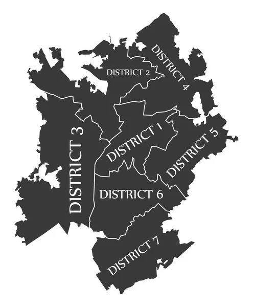
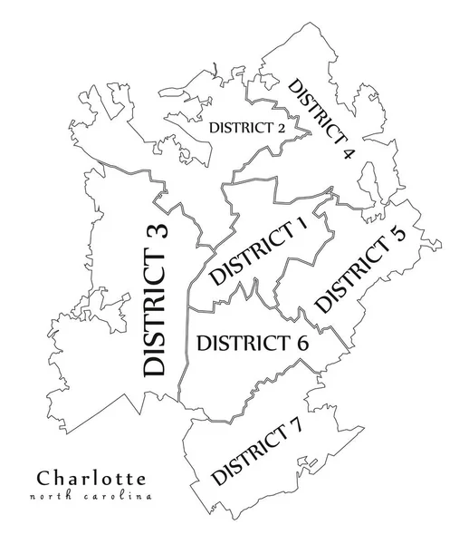
Modern City Map - Charlotte North Carolina City Of The USA With Boroughs And Titles Outline Map
Vector, 7.8MB, 5000 × 5784 eps


North Carolina Flag The United States Of America Waving Animation App Icon Vector
Vector, 7.79MB, 4128 × 3028 eps

Symbol Map Of The State North Carolina (United States Of America) Showing The Outline Of The State As An Asphalt Surface
Image, 8.2MB, 6000 × 2526 jpg

Symbol Map Of The State North Carolina (United States Of America) Showing The Territory Of The State As A Lawn Football Field
Image, 7.86MB, 6000 × 2526 jpg
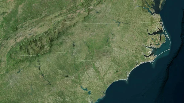
North Carolina, State Of United States. Satellite Imagery. Shape Outlined Against Its Country Area. 3D Rendering
Image, 6.76MB, 2880 × 1620 jpg
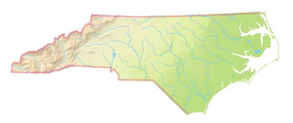
Map Of The State North Carolina (United States Of America) Showing The Isolated Territory With Relief Representation, Water Bodies Like Seas, Rivers, Lakes And With Borders. No Labels At All.
Image, 1.37MB, 6000 × 2534 jpg

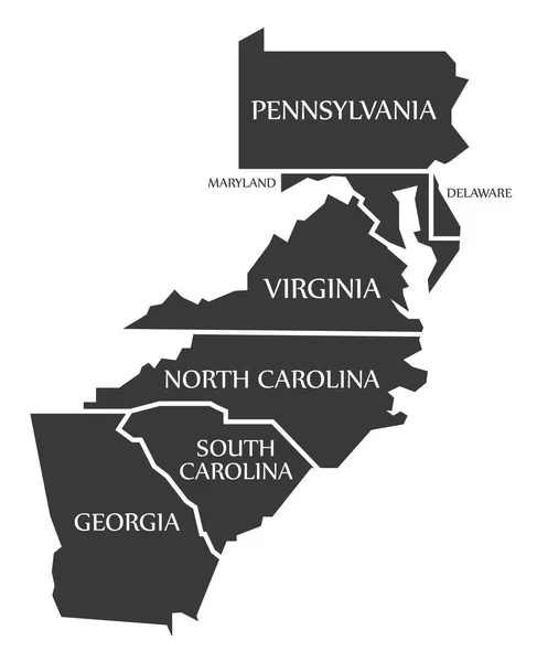
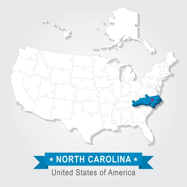
United States Census Bureau Regions And Divisions Vector Map. Flag Of United States Of America
Vector, 6.79MB, 7292 × 3543 eps


Glowing Map Of South Carolina, Modern Blue Outline Map, On Dark Background
Image, 3.71MB, 7500 × 5000 jpg

IUPAC - International Union Of Pure And Applied Chemistry Acronym, Concept On Blackboard
Image, 12.27MB, 5760 × 3840 jpg

Map Of Washington County In North Carolina State On White Background. Single County Map Highlighted By Black Color On North Carolina Map. UNITED STATES, US
Image, 4.32MB, 8000 × 5334 jpg

3d Map Of North Carolina State With Counties And Color. United State Of America, US, United State
Image, 4.4MB, 8000 × 4000 jpg

Map Of Granville County In North Carolina State On White Background. Single County Map Highlighted By Black Color On North Carolina Map. UNITED STATES, US
Image, 4.32MB, 8000 × 5334 jpg

Map Of Gaston County In North Carolina State On White Background. Single County Map Highlighted By Black Color On North Carolina Map. UNITED STATES, US
Image, 4.32MB, 8000 × 5334 jpg

3d Map Of North Carolina State With Color. United State Of America, US, United State
Image, 3.04MB, 8000 × 4000 jpg

3d Map Of North Carolina State With Color. United State Of America, US, United State
Image, 3.13MB, 8000 × 4000 jpg

3d Map Of North Carolina State With Color. United State Of America, US, United State
Image, 3.51MB, 8000 × 4000 jpg

North Carolina Administrative Map. Counties Map Of North Carolina With Color, Blank Map, Empty Map Of North Carolina
Image, 3.12MB, 8000 × 4000 jpg

Map Of Mecklenburg County In North Carolina State On White Background. Single County Map Highlighted By Black Color On North Carolina Map. UNITED STATES, US
Image, 4.32MB, 8000 × 5334 jpg

3d Map Of North Carolina State With Counties And Color. United State Of America, US, United State
Image, 4.82MB, 8000 × 4000 jpg
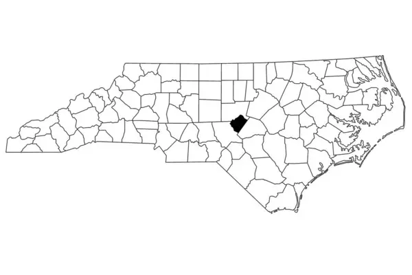
Map Of Lee County In North Carolina State On White Background. Single County Map Highlighted By Black Color On North Carolina Map. UNITED STATES, US
Image, 4.32MB, 8000 × 5334 jpg
Page 1 >> Next