
Stock image Point Of Land

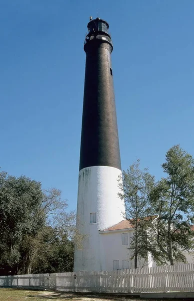
Pensacola Lighthouse - Naval Air Station - Pensacola, Florida - Still In Use Today, The Pensacola Lighthouse Provides Important Navigational Assistance For Boats And Ships Entering Pensacola Bay.
Image, 12.9MB, 3100 × 4791 jpg
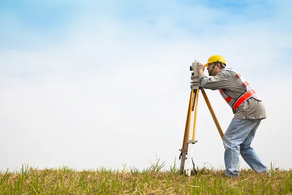

Special Device (level) For Surveyor Builders, Geodesy Equipment Close Up. Outdoors, Copy Space.
Image, 3.7MB, 4000 × 2667 jpg
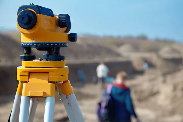
Special Device (level) For Surveyor Builders, Geodesy Equipment Close Up In Front Of A Ground Work With People On Blurred Background. Outdoors, Copy Space.
Image, 3.81MB, 4000 × 2667 jpg

Drone Point Of View Of Farm Or Countryside Estate, Green Pasture Fields And Blue Sky Copy Space. Scenic Aerial Landscape Of Farming Agriculture, Trees And Residential Building Houses In Remote Meadow.
Image, 9.21MB, 5464 × 3640 jpg


Aerial Drone Panoramic View Of Nature In Moldova. Wide Fields, Road, Village,
Image, 27.52MB, 13737 × 6975 jpg


A Hot Summer Day With A Clear Sky Showing Rural Wisconsin Farm Fields
Image, 30.34MB, 7677 × 3838 jpg

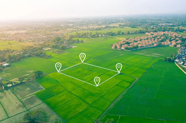
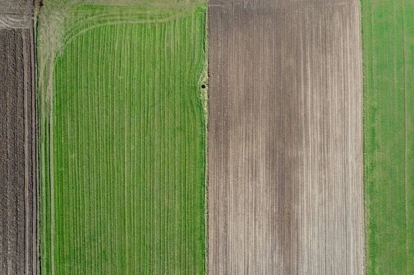
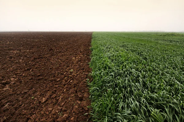
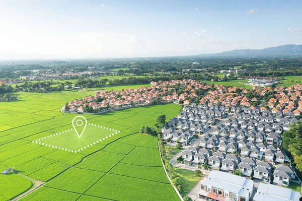
Land Plot In Aerial View. That Identify Registration Symbol Of Vacant Area For Map. That Property Or Real Estate For Business Of Home, House Or Residential I.e. Construction, Development, Sale, Rent, Buy, Purchase Or Investment.
Image, 16.41MB, 5464 × 3640 jpg

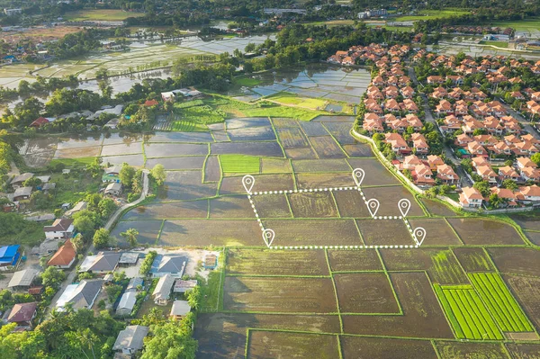
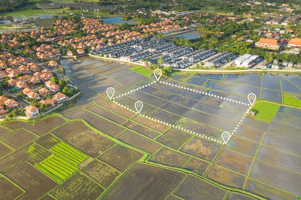
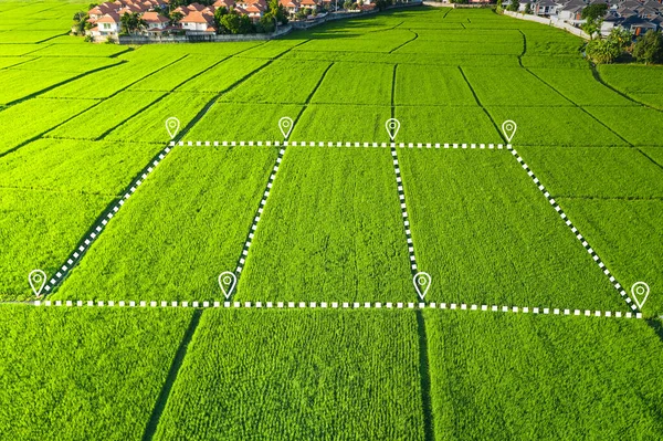
Land Plot In Aerial View. Real Estate Or Property Consist Of Empty Land Or Green Field And Gps Position Pin Point Of Location For Development By Housing Construction, Sale, Rent, Buy Or Investment.
Image, 13.14MB, 5464 × 3640 jpg
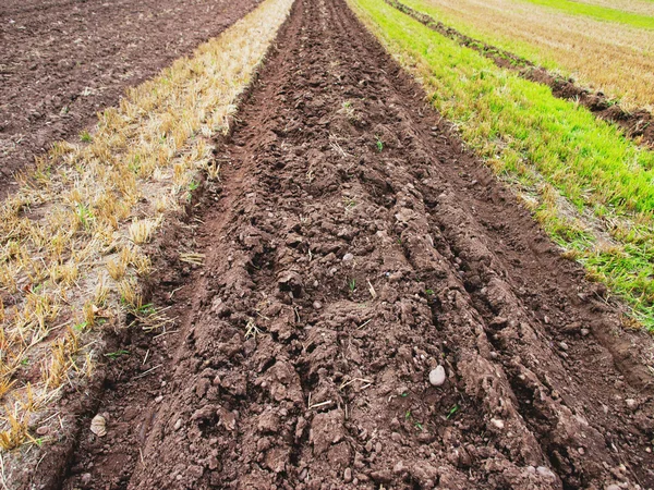
The Dug-out Land Began Construction Of The Road Against The Blue Sky With Clouds
Image, 7.96MB, 4863 × 3237 jpg

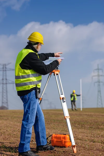
Geodetic Surveying Station Measures Distances And Angles In The Field On A Yellow Tripod, Professional Equipment For Land Mapping
Image, 6.55MB, 5000 × 3336 jpg


Land Plot In Aerial View. Identify Registration Symbol Of Vacant Area For Map. That Property, Real Estate For Business Of Home, House Or Residential I.e. Construction, Development, Sale, Rent And Buy.
Image, 22.72MB, 5464 × 3640 jpg
Drone High Angle Photo Of Spring Fields In Jaczew, Small Village In Mazowsze Region Of Poland
Image, 13.18MB, 4580 × 3051 jpg


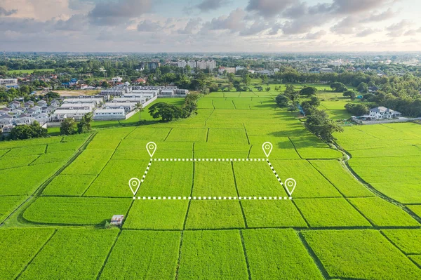
Land Plot In Aerial View. Real Estate Or Property Consist Of Empty Land Or Green Field And Gps Position Pin Point Of Location For Development By Housing Construction, Sale, Rent, Buy Or Investment.
Image, 12.15MB, 5464 × 3640 jpg

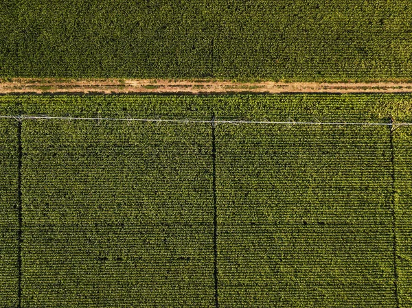
Drone Photography, Aerial View Of Water Irrigation System In Cultivated Cornfield
Image, 14.94MB, 3955 × 2964 jpg


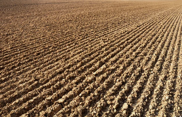
On A Plowed Field Agricultural Land Intended For Planting And Growing Food
Image, 0MB, 3001 × 2001 jpg
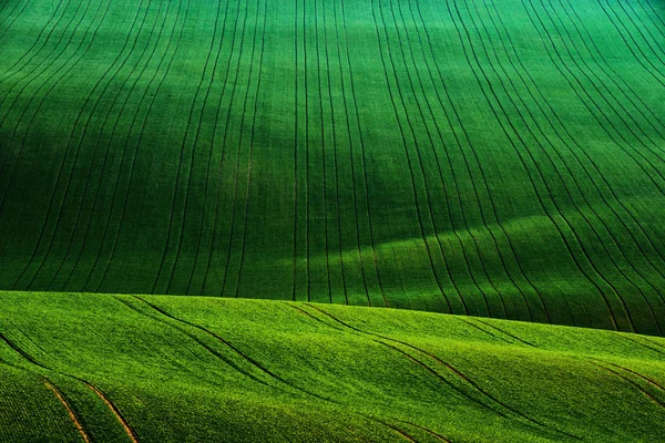
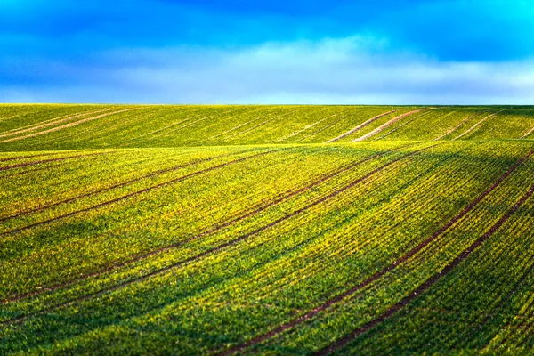
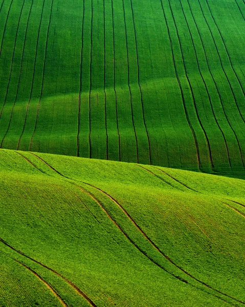
Detail Scenery At South Moravian Field During Spring, Czech Republic.
Image, 15.96MB, 4000 × 2667 jpg

The Dug-out Land Began Construction Of The Road Against The Blue Sky With Clouds
Image, 9.02MB, 4928 × 3280 jpg

Land Plot In Aerial View. Identify Registration Symbol Of Vacant Area For Map. Real Estate Or Property For Business Of Home, House Or Residential I.e. Development, Sale, Rent, Buy Or Purchase.
Image, 12.47MB, 5464 × 3640 jpg
Land Plot In Aerial View. Identify Registration Symbol Of Vacant Area For Map. That Property, Real Estate For Business Of Home, House Or Residential I.e. Construction, Development, Sale, Rent And Buy.
Image, 27.16MB, 5464 × 3640 jpg

Amazing Detail Scenery At South Moravian Field During Spring, Czech Republic.
Image, 12.4MB, 3500 × 2333 jpg

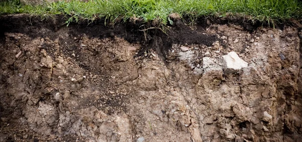
3D Illustration, Cubical Soil Ground Cross Section With Earth Land And Green Grass, Soil Layers. Realistic 3D Rendering Ground Ecology, Cutaway Terrain Floor With Rock Isolated On Blue Sky Background.
Image, 4.23MB, 6911 × 5346 jpg

Image Drone Point Of View Gemasolar Concentrated Solar Power Plant CSP Circle Shape, System Generate Solar Power Using Mirrors Lenses To Concentrate Large Area Of Sunlight Onto Receiver, Seville Spain
Image, 6.9MB, 3685 × 2492 jpg

Theodolite Equipment Of Surveyor Builder Engineer During Surveying Work In Construction Site
Image, 13.55MB, 7952 × 5304 jpg
Vector Icon. Map Of The World. Point On The . Pin And The Distance, GPS Navigator . Flat Style
Vector, 5.32MB, 4998 × 4999 eps

Looking Out Over The Sussex Countryside From Ditchling Beacon, With A Stile In A Fence In The Foreground
Image, 17.39MB, 5695 × 3797 jpg
Detail Scenery At South Moravian Field During Spring, Czech Republic.
Image, 21.85MB, 3200 × 4000 jpg
Page 1 >> Next